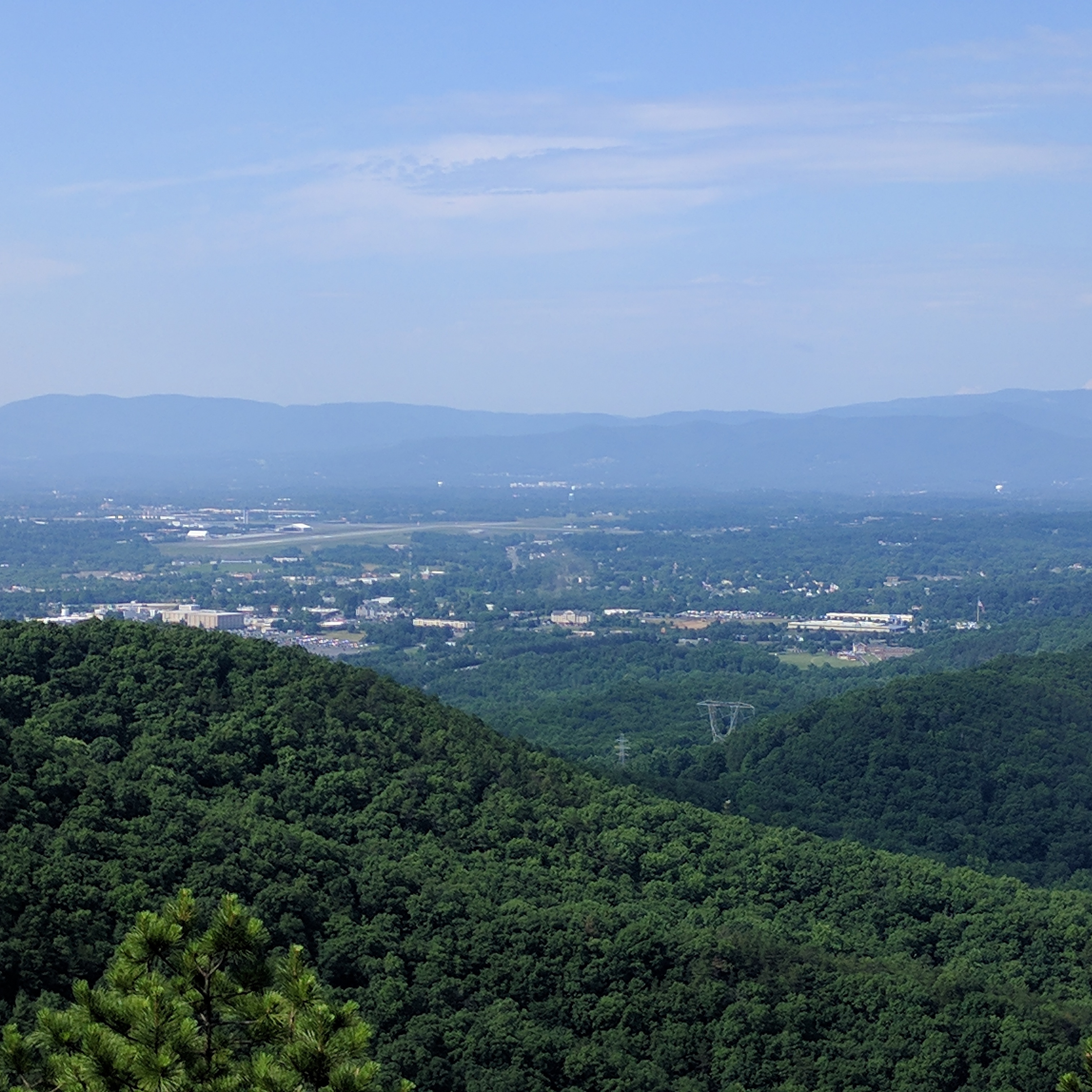
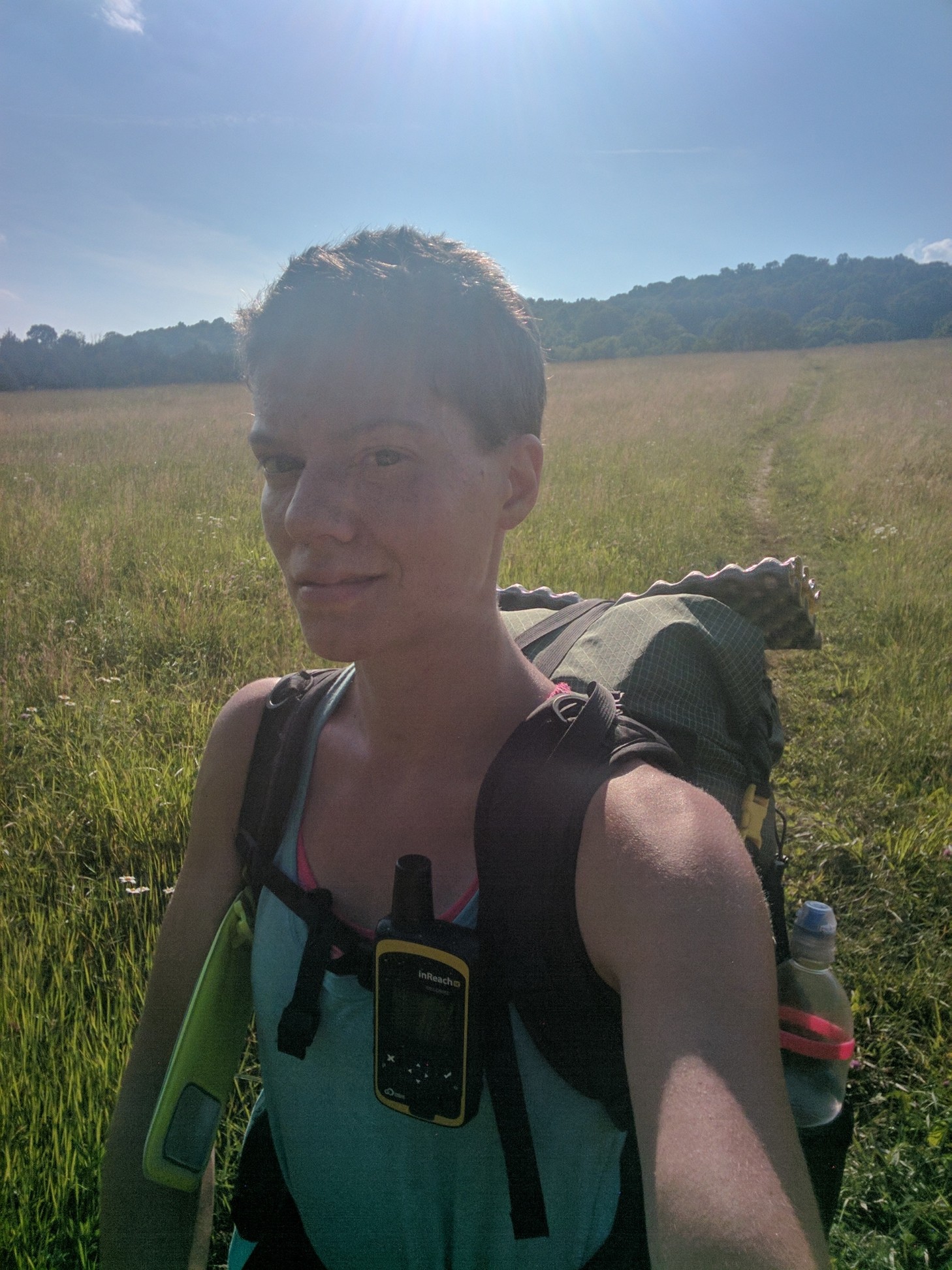
There is a pervasive myth among the AT community that Virginia is flat. From halfway through Virginia, let me tell you, this is a lie! I have no idea why people continue to perpetuate this falsehood. My current theory is that at some point along the trail, I shall encounter a Sphinx, Snorlax, Gandalf, or some other mythological figure of path obstruction, who will grant me safe passage only under the condition that I mislead future thru-hikers about the elevation profile of Virginia.
So if this section of my blog suddenly disappears, you’ll know why.
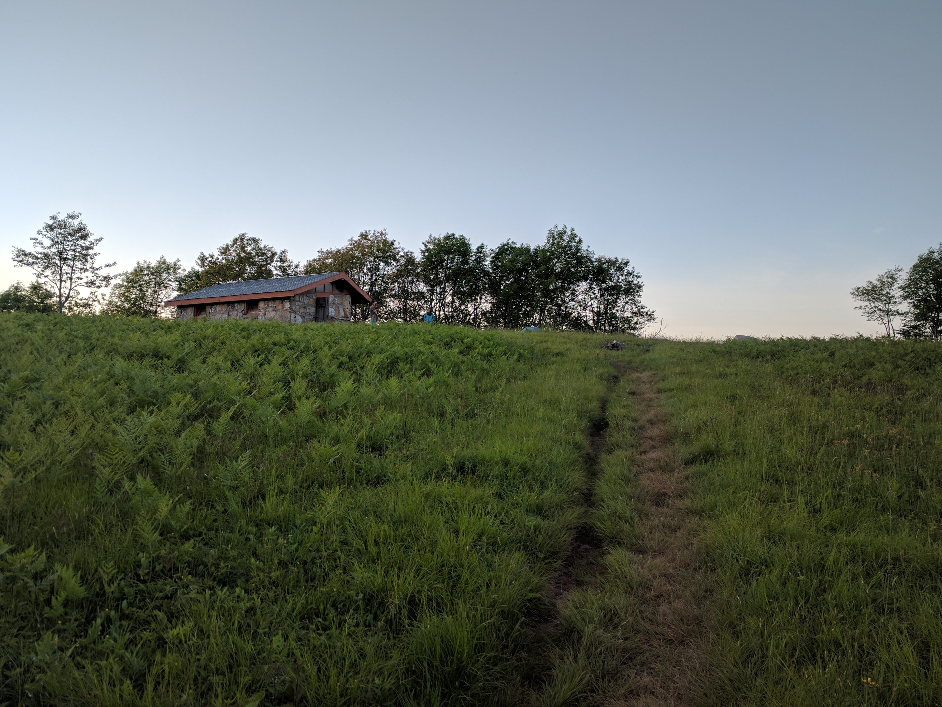
I treated myself to a zero day in Pearisburg, then hiked out the following morning on my birthday. Although the weather forecast was clear, a pop-up thunderstorm appeared while I was crossing a very rocky ridgeline and I decided to camp (Mile 648.7) rather than deal with the rain and slick rocks.
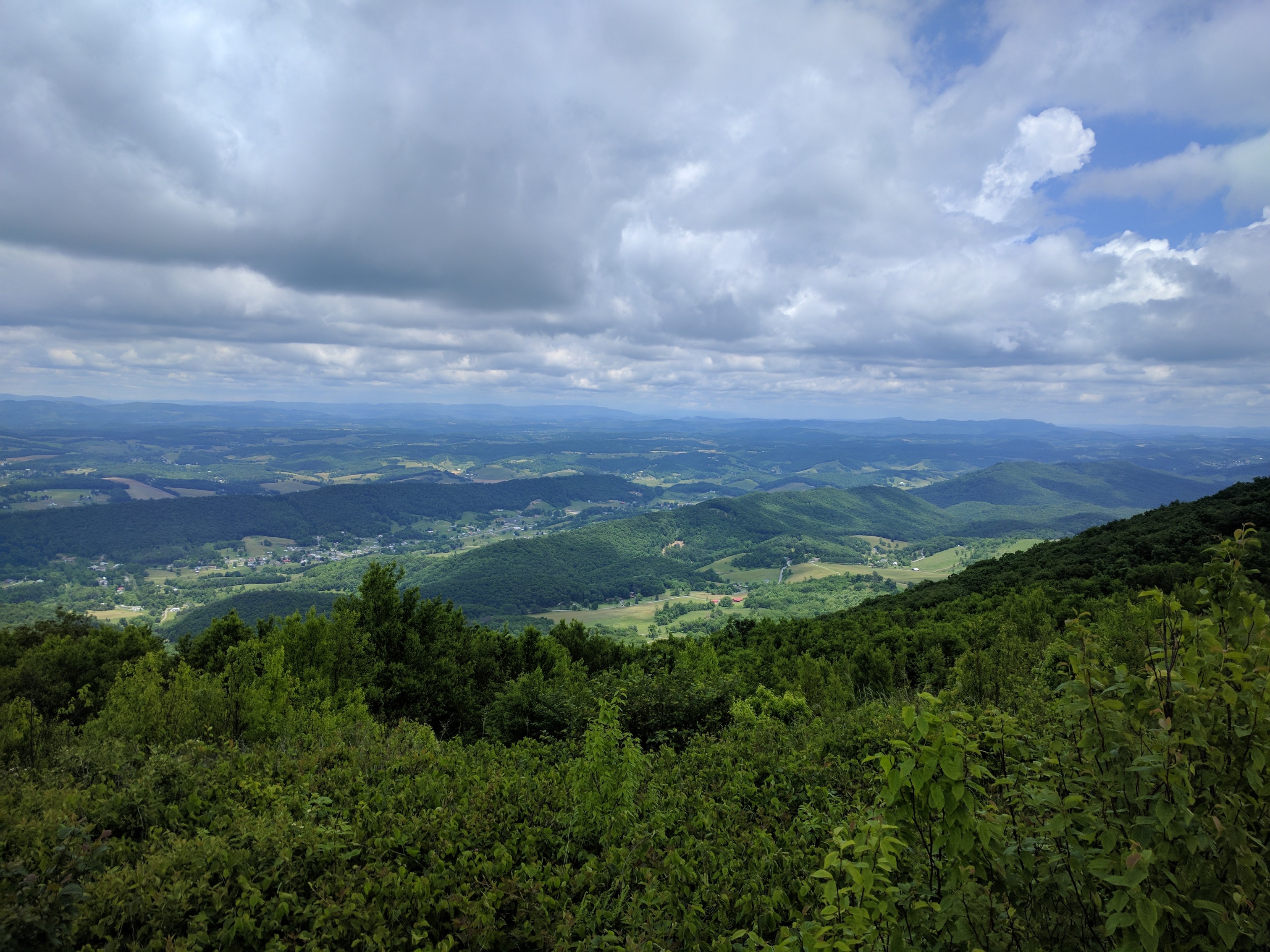
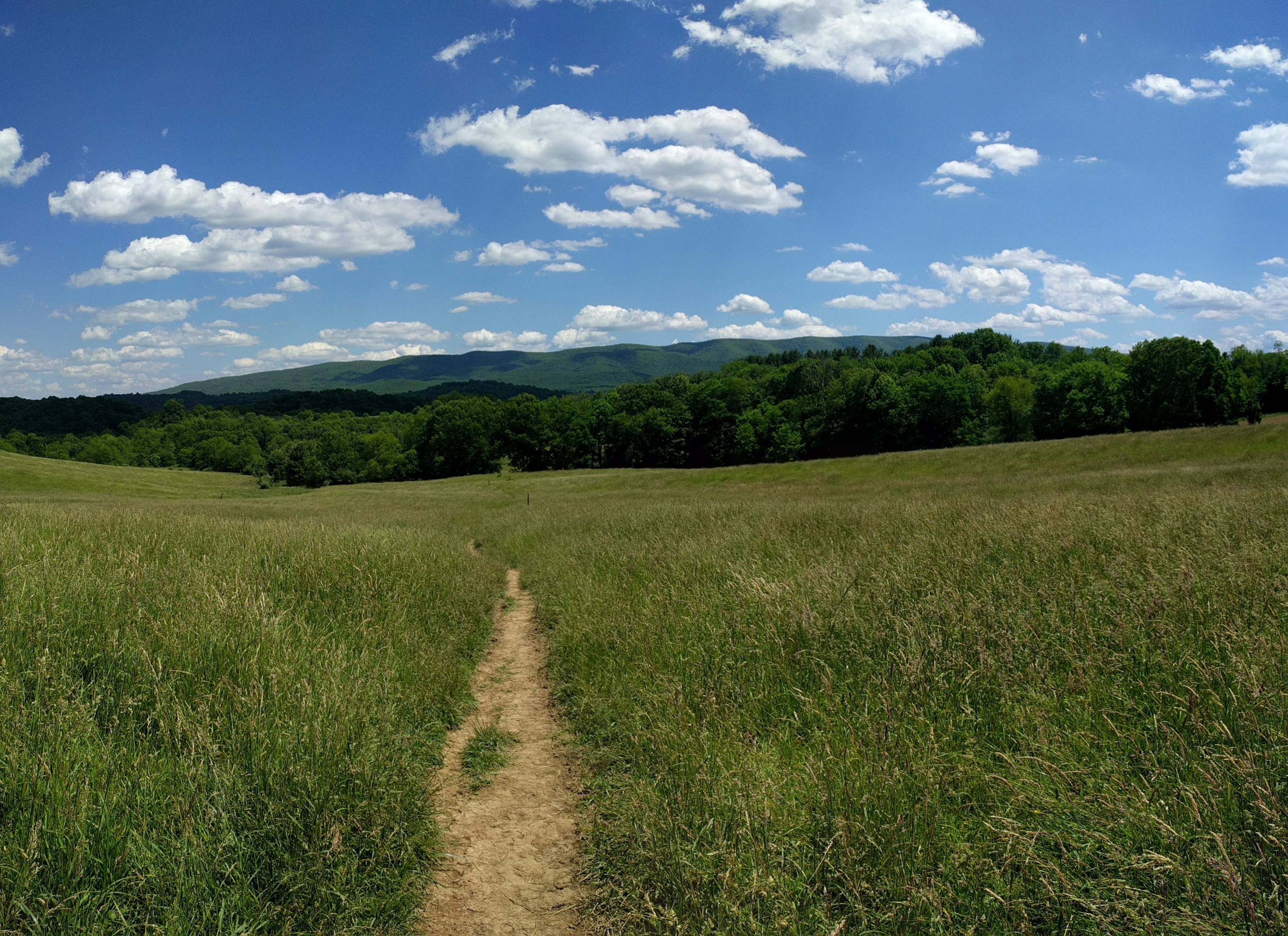
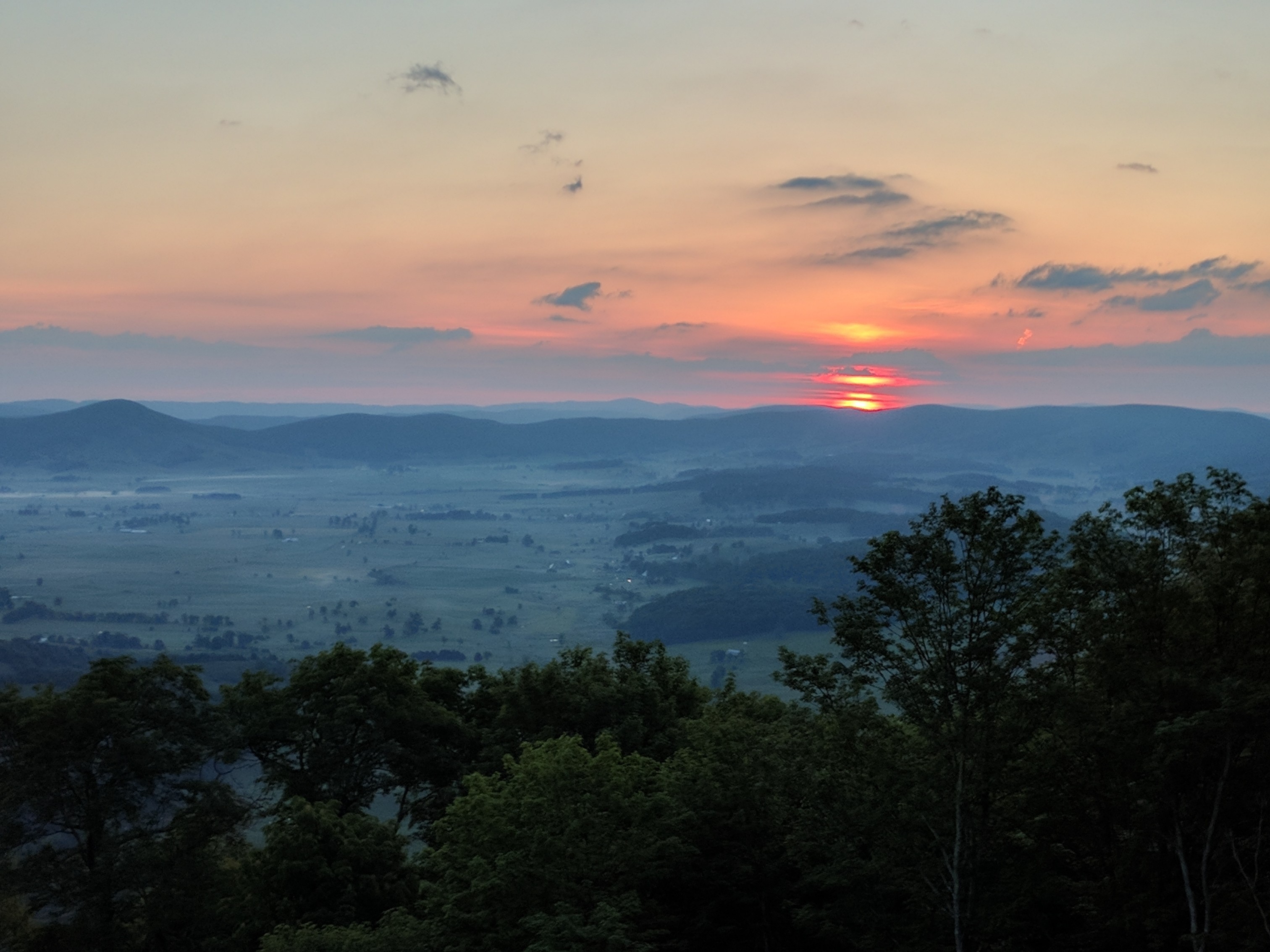
View from Rice Meadow, near Pearisburg
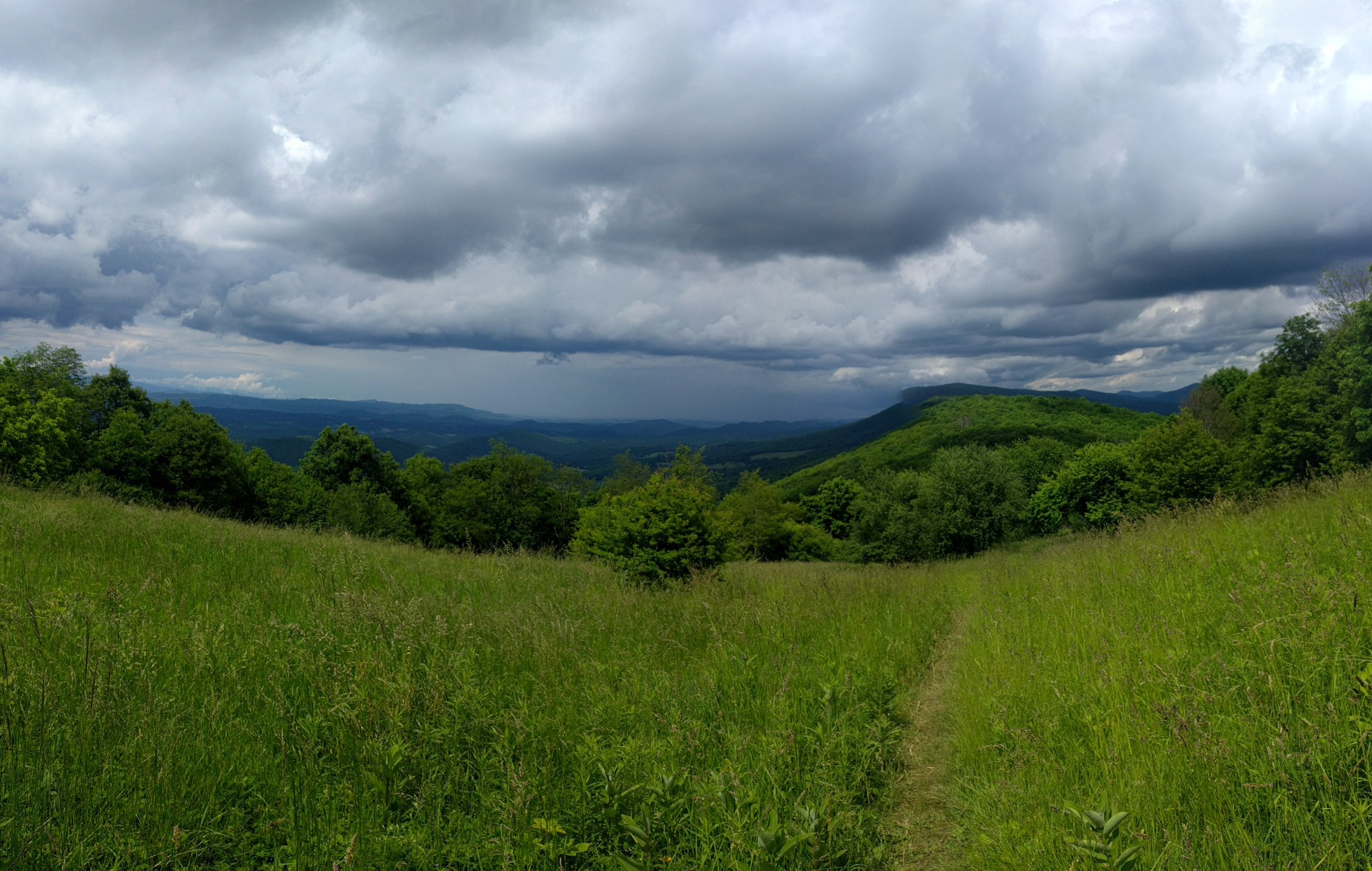
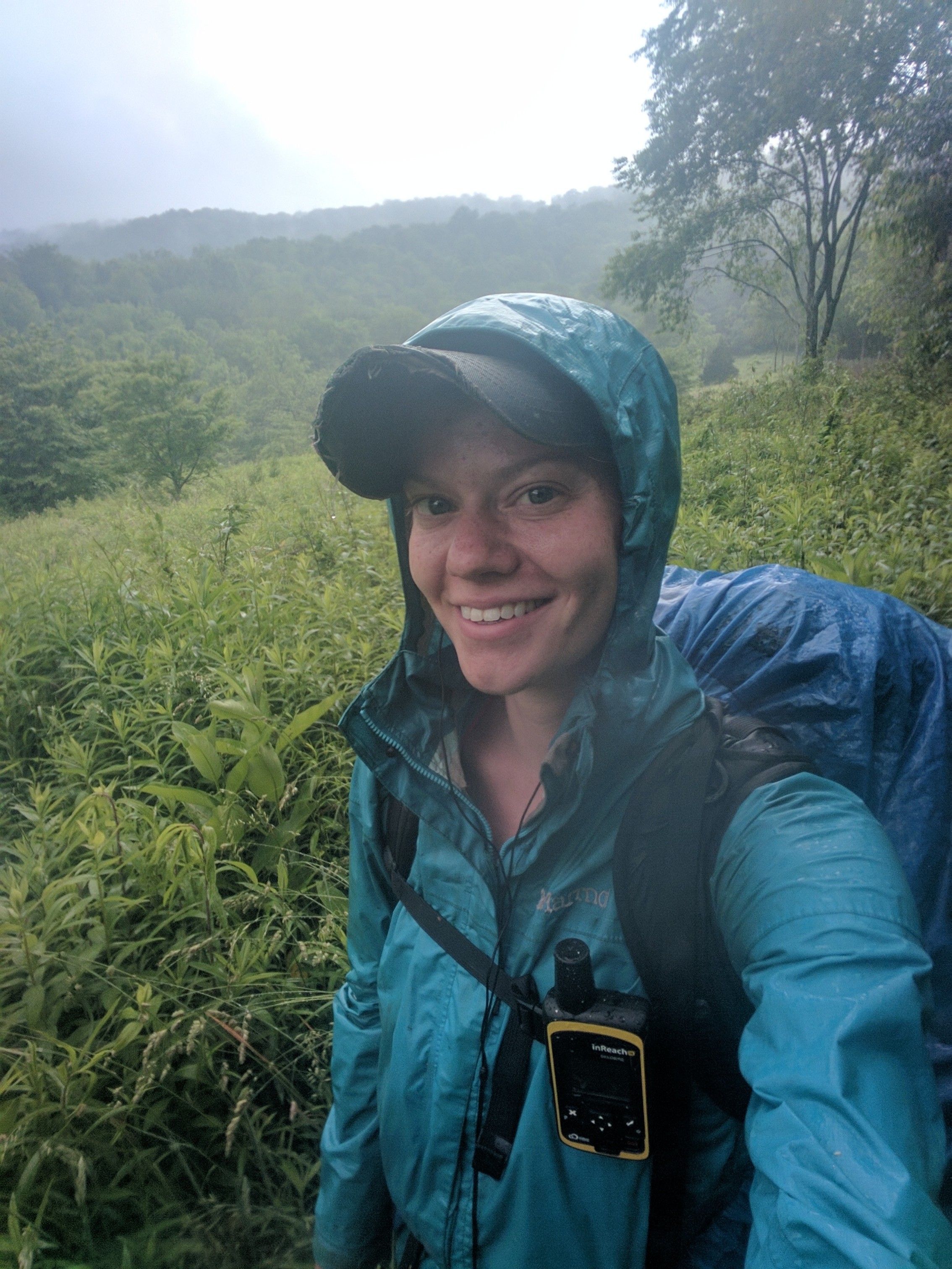
Thunderstorms approaching over Symm’s Gap
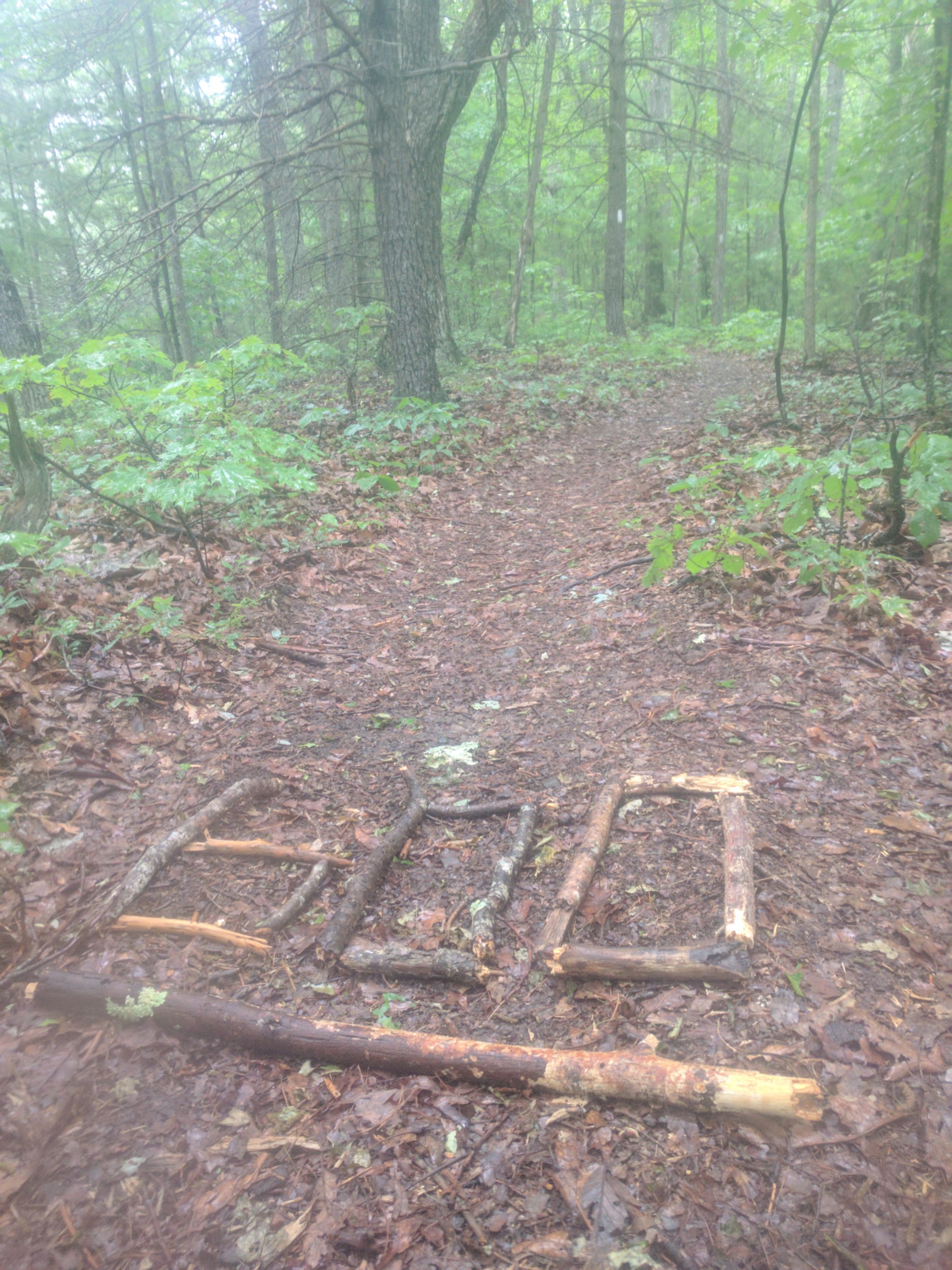
The next day, I was hoping to make up some mileage; however, as the day progressed it became apparent that this would not be possible. After several steep climbs and the rockiest terrain I have yet encountered, I was forced to camp at War Spur Shelter (Mile 667.4). This was the first time since GA that my endurance, rather than available daylight hours, was the rate-limiting factor for my hiking.
Nevertheless, I was determined to do 20 miles the next day. Although there were two substantial climbs, the toughest part of the day was actually the final 1.5 miles of ridgeline. On this portion of the ridge, the trail traversed exposed stone slabs, slanted at a 45-degree angle off the cliff-face. Hell on the downhill ankle and searing hot in the afternoon sun. Pretty views though!
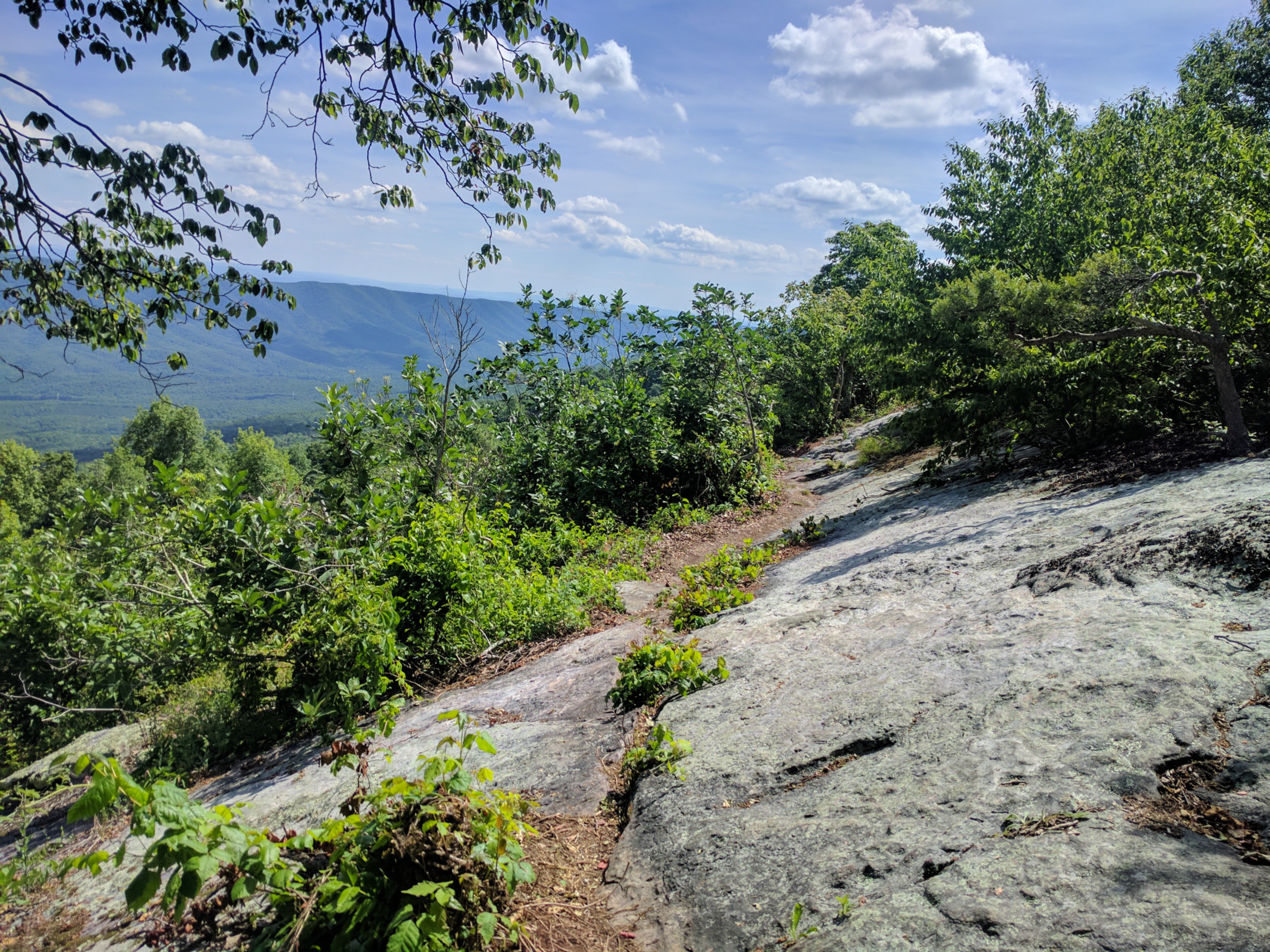
Dubbed by my fellow hikers: Slabs o’ Death
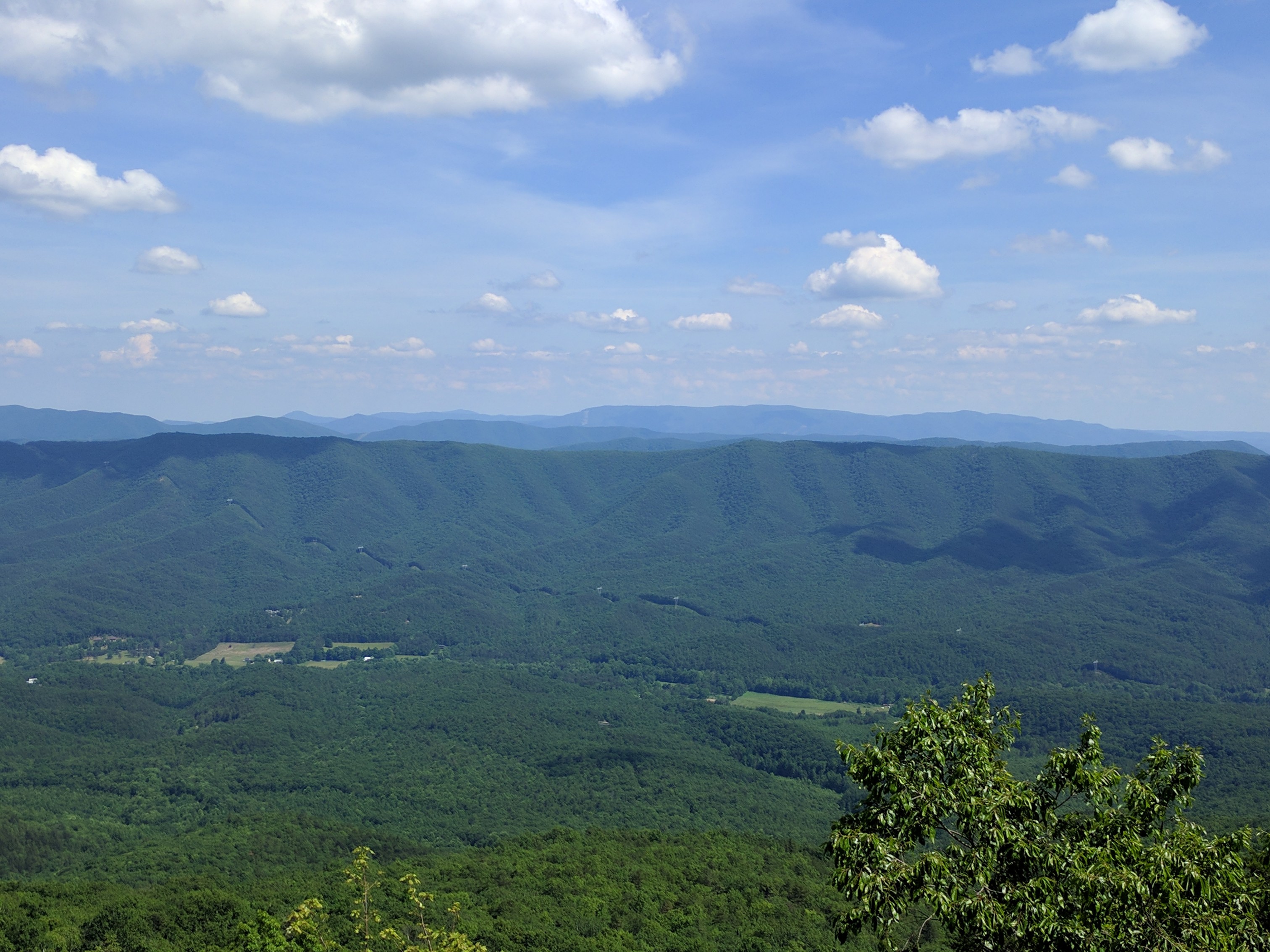
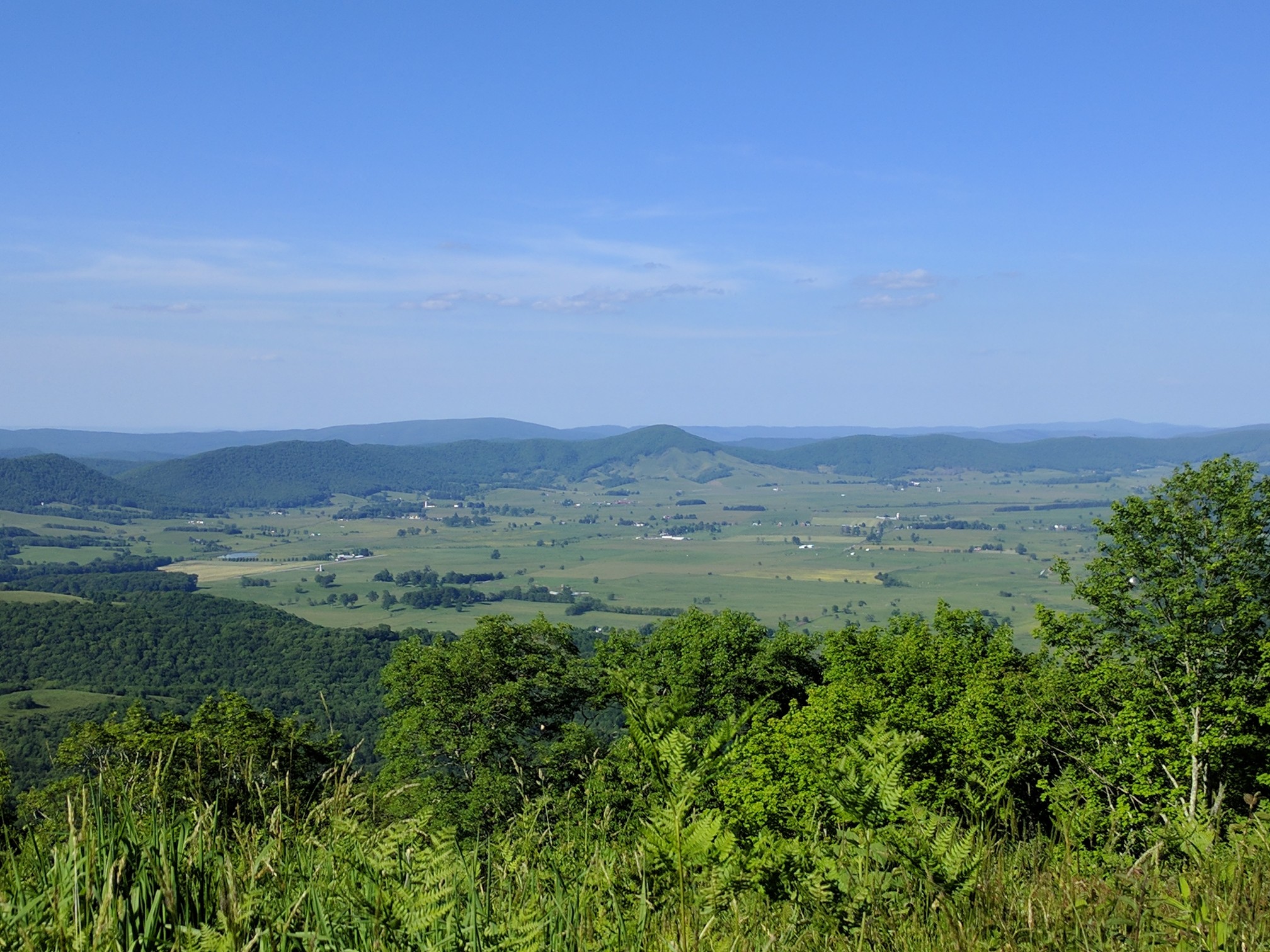
At least there was a nice view (although often enjoyment of these views is tempered by the subconscious knowledge that you will soon have to climb whatever you’re looking at).
After slowly making my way across the slabs and down off the ridge, I eked out my 20 miles and camped at the base of Brush Mountain (688.0). It was incredibly frustrating to have been completing 20 to 25 mile days without issue, and then suddenly struggle to do 15 to 20 painful miles!
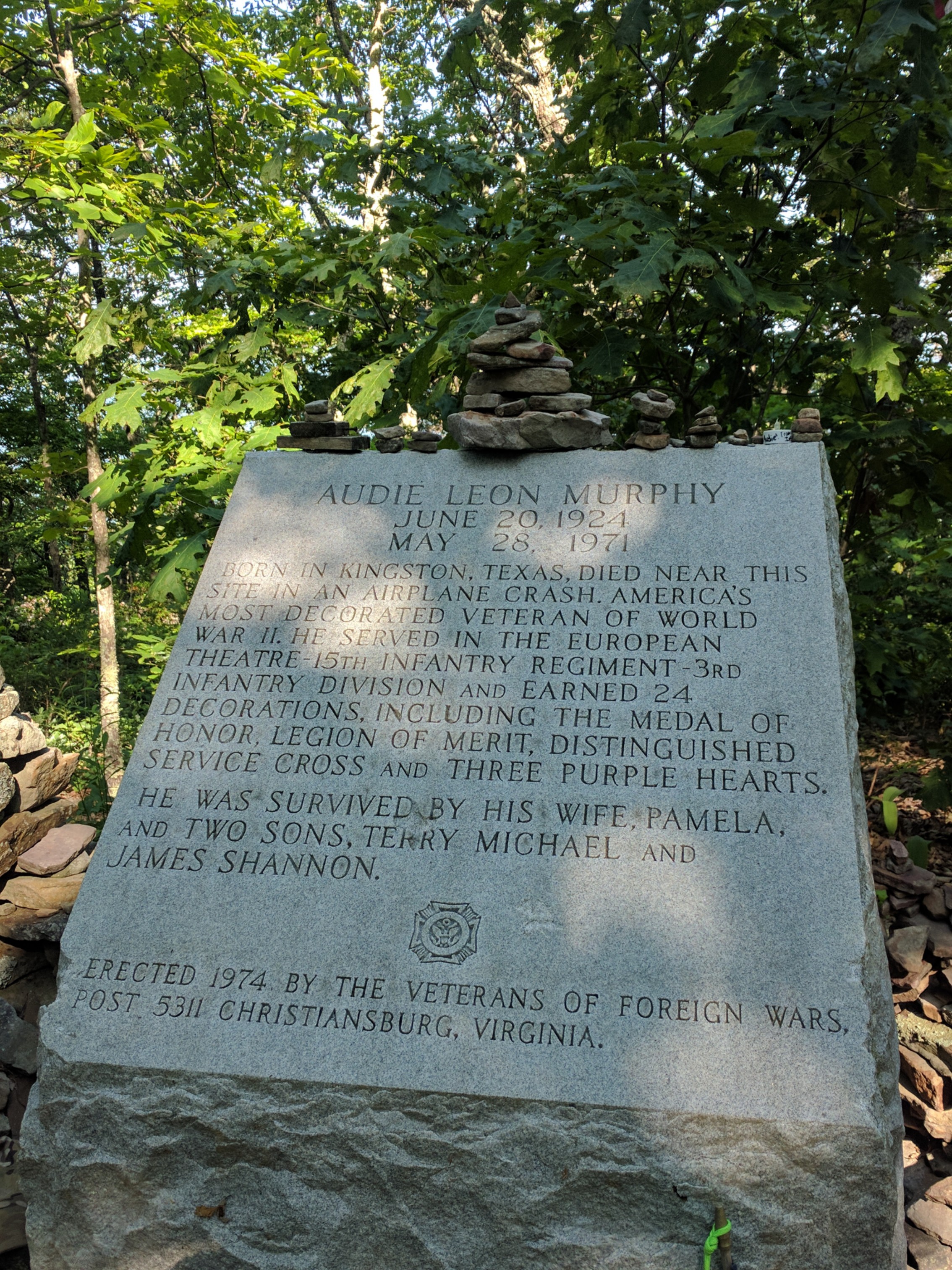
I left camp before sunrise the next morning in order to take advantage of the cool morning temperatures as I ascended Brush Mtn. At the top was a side trail to the Audie Murphy memorial (Mile 690.8) Murphy, one of the most decorated WWII veterans, perished in a plane crash near the memorial site.
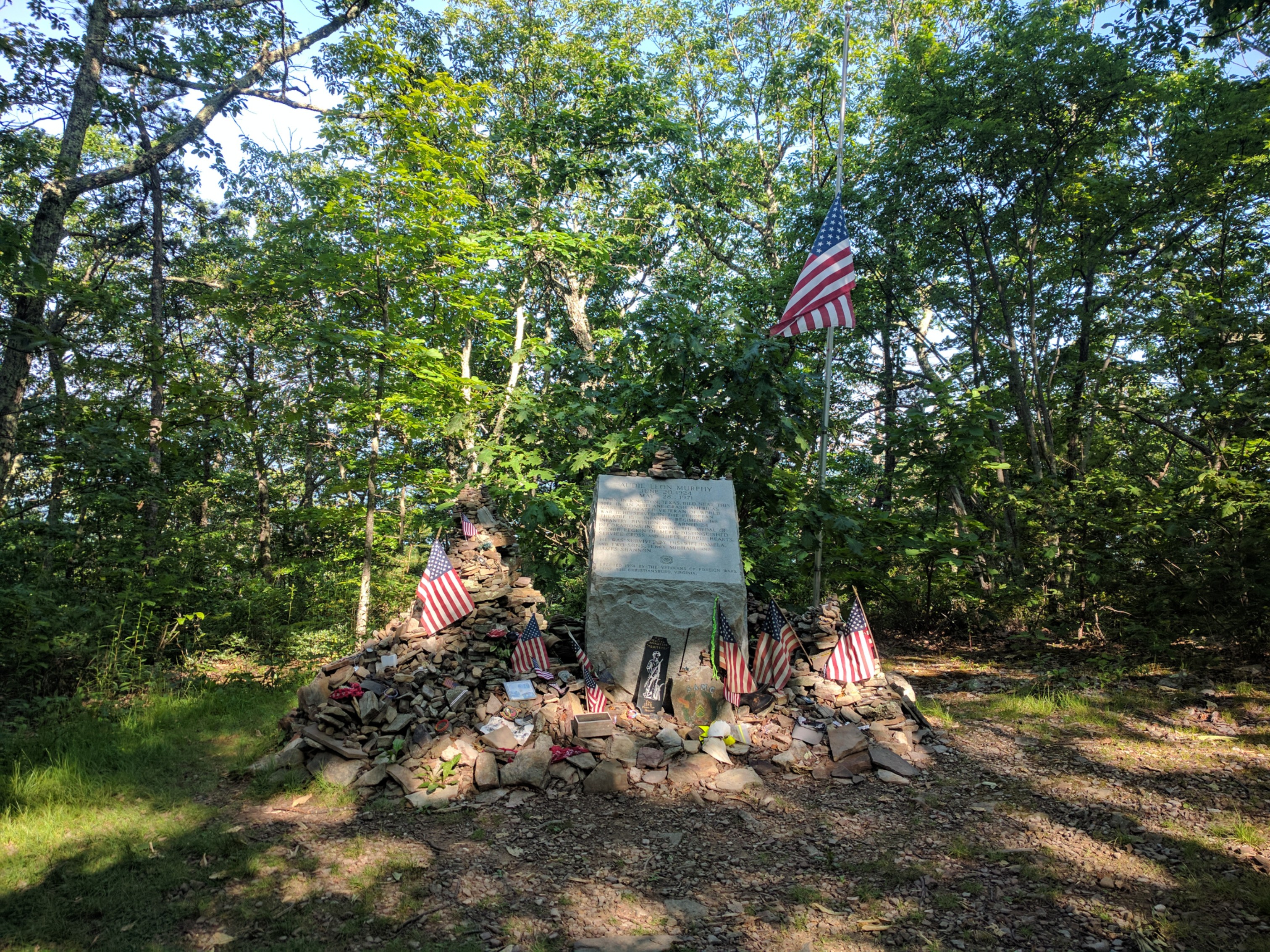
Audie Murphy memorial
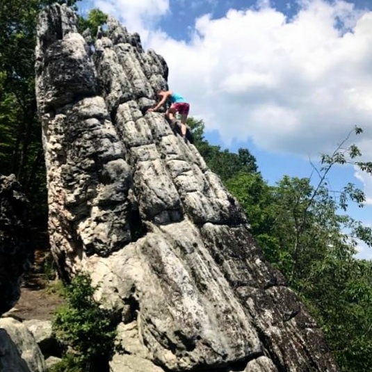
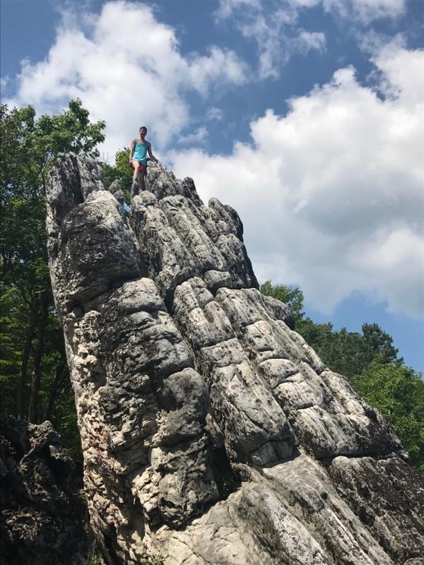
The trail turned into an extensive rock scramble as I approached Dragon’s Tooth (Mile 700.1), a massive stone monolith. The area was very busy with dayhikers, but I enjoyed shucking my pack and bouldering a bit (to the horror of the dayhikers). I have missed rock climbing a lot since starting the trail, and it felt great to do something that wasn’t hiking!
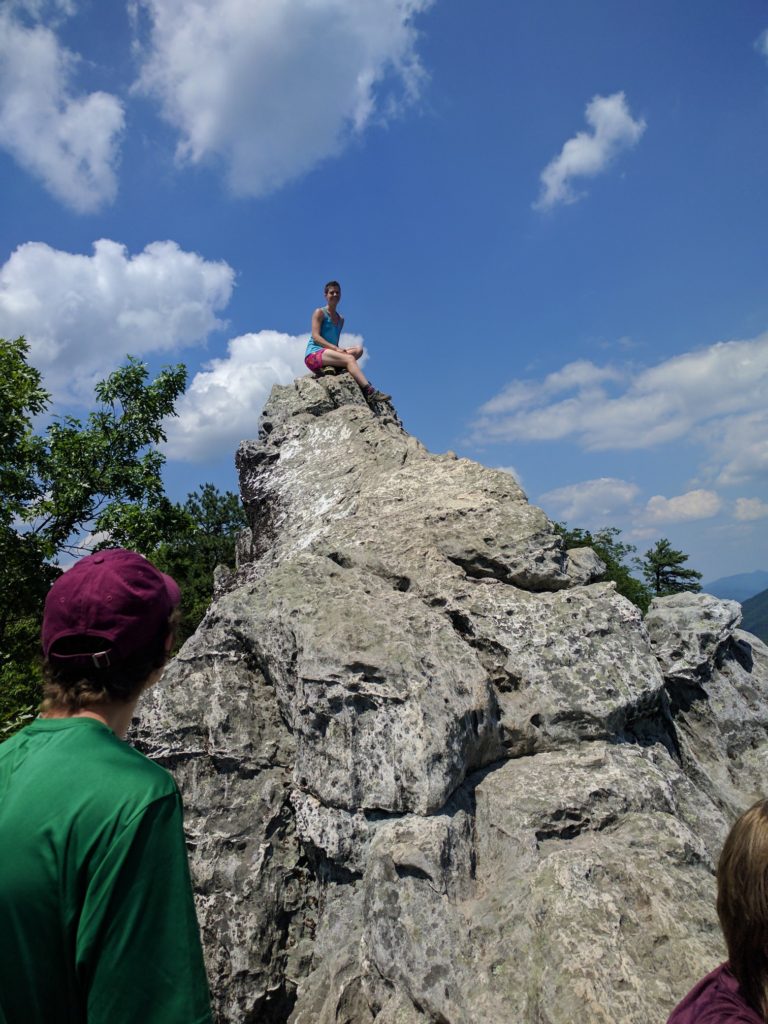
Playing around on Dragon’s Tooth
Descending from Dragon’s Tooth also involved some cliff navigation, which was a bit unnerving with my pack on. This was one of the only areas of the marked trail thus far where I actually feared the risk of injury. Indeed, I found out later that one of the hikers I know had fallen down a small cliff on the descent that afternoon, and subsequently left the trail (he sustained only minor scrapes and bruises, but the experience was the last straw for him after several bad days in this rough section).
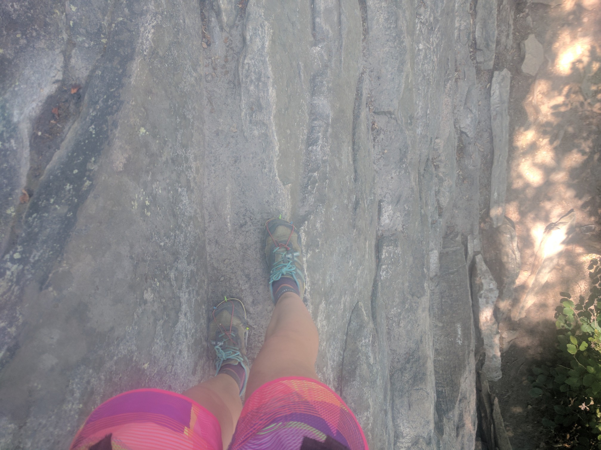
Yes, this is the marked trail. And yes, that is the ground 12 feet below me. Preview of the Northeast?
Exhausted from the descent, and with sunset approaching, I had to stealth camp off the side of the trail after climbing up the next ridgeline (Mile ~705).
The following day had a few AT landmarks to make the rough terrain worthwhile. McAfee Knob (Mile 712.0) is the most photographed area on the entire AT, for good reason.
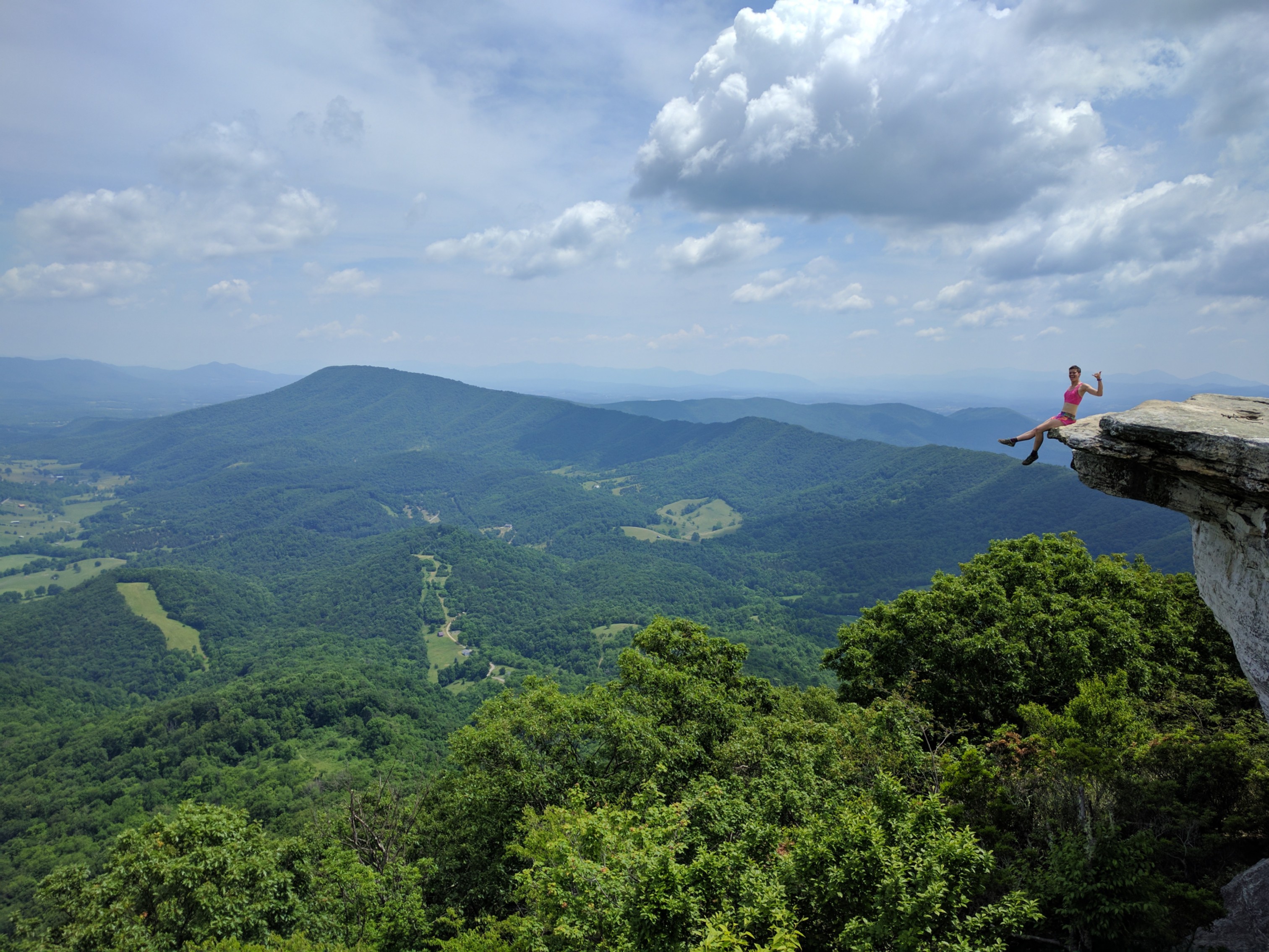
Not as dangerous as it may appear, I assure you.
Shortly after McAfee, the trail traverses Tinker Cliffs (Mile 717.1) with fantastic panoramic views.
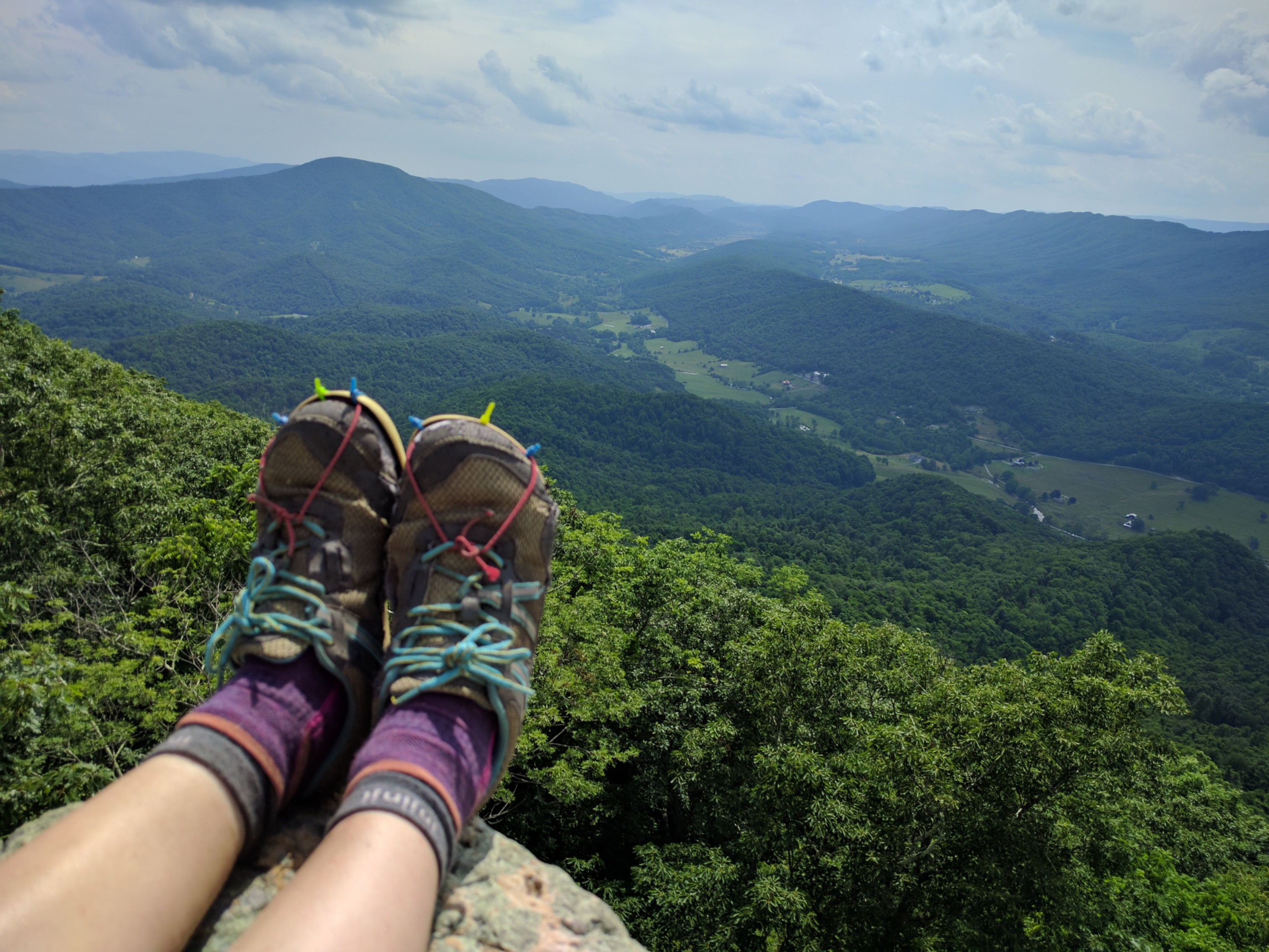
Letting the ol’ trail runners enjoy one last moment in the sun on Tinker Cliffs
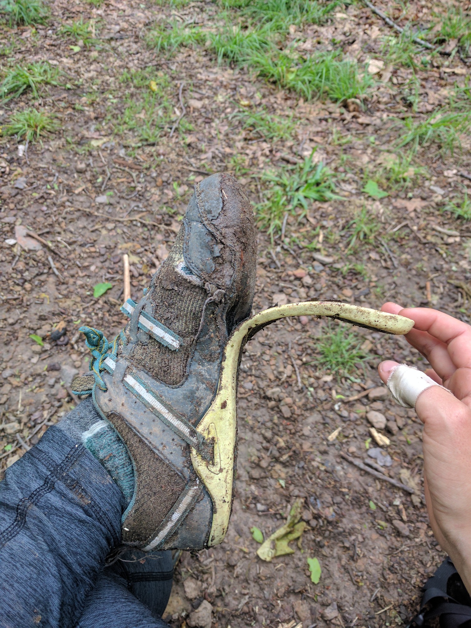
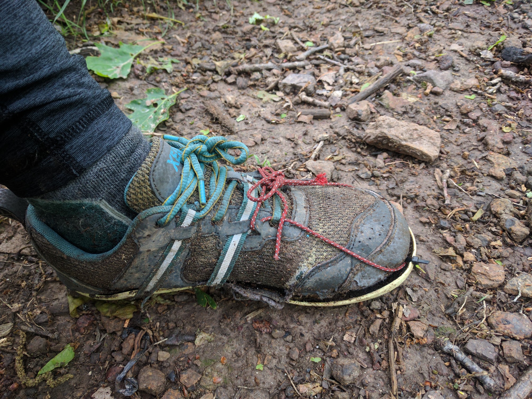
I opted to camp at Lambert’s Meadow (Mile 718.8) rather than arrive in Daleville late in the evening. In the morning, I completed the remaining relatively-easy 10 miles into Daleville (728.1), where I picked up the maildrop containing my new trail runners and resupplied.
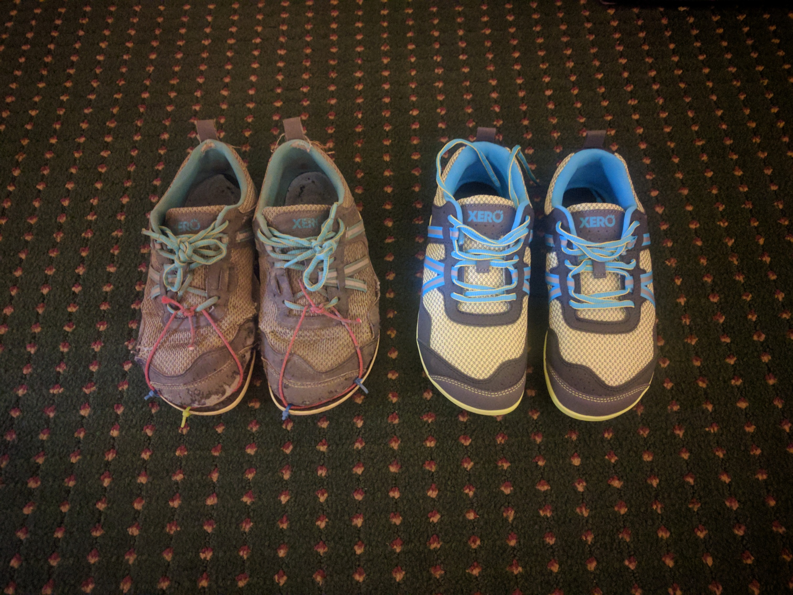
Old and New!
The next section of trail from Daleville to Waynesboro (Mile 860) includes long climbs and is likely a rock-farm as well. I decided to take an unplanned zero day to rest my beaten-up feet. For the next section, I intend to adopt a slower pace which will hopefully help me keep my feet healthy. The forecast is also 5 days of rain, which may slow me down further in rocky areas. But, that’s part of the appeal of the AT: as soon as you think you’ve figured it out, it throws something new at you and forces you to adapt.


