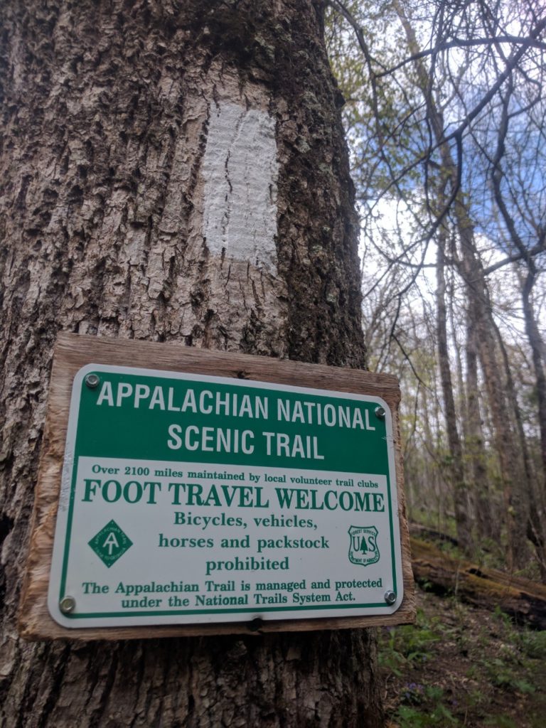
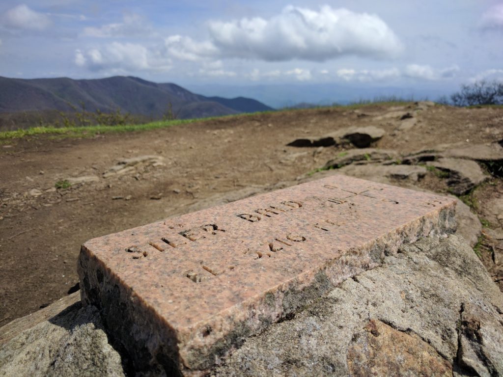
Virginia is NOT flat: Pearisburg to Daleville

There is a pervasive myth among the AT community that Virginia is flat. From halfway through Virginia, let me tell you, this is a lie! I have no idea why people continue to perpetuate this falsehood. My current theory is that at some point along the trail, I shall encounter a Sphinx, Snorlax, Gandalf, or some other mythological figure of path obstruction, who will grant me safe passage only under the condition that I mislead future thru-hikers about the elevation profile of Virginia.

“What is the ground-speed of an unladen thru-hiker??!”

So if this section of my blog suddenly disappears, you’ll know why.

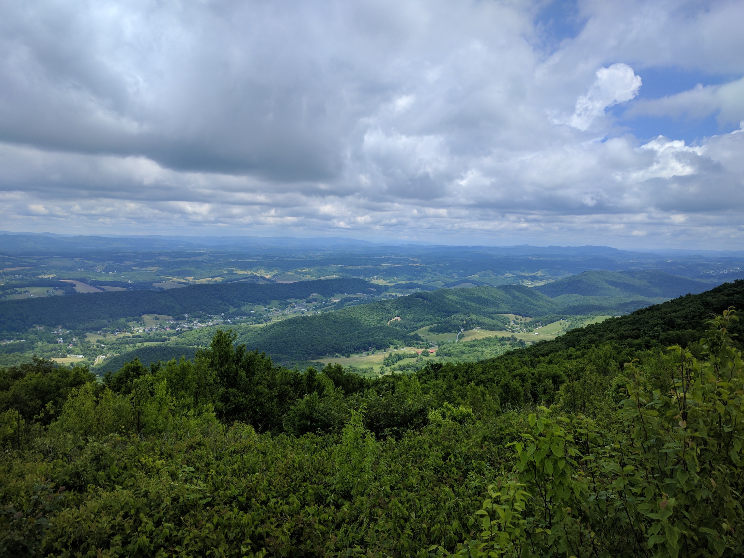
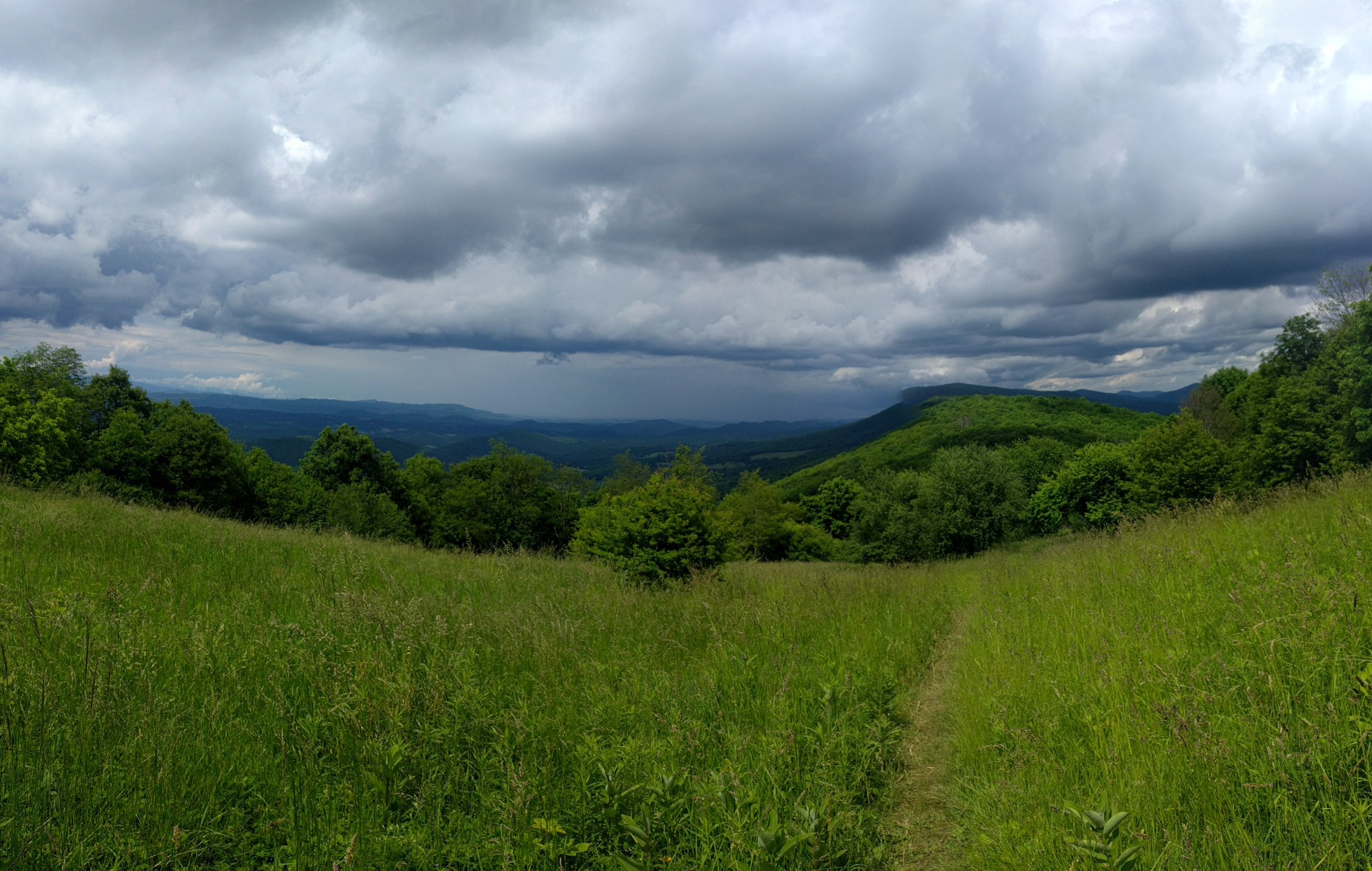
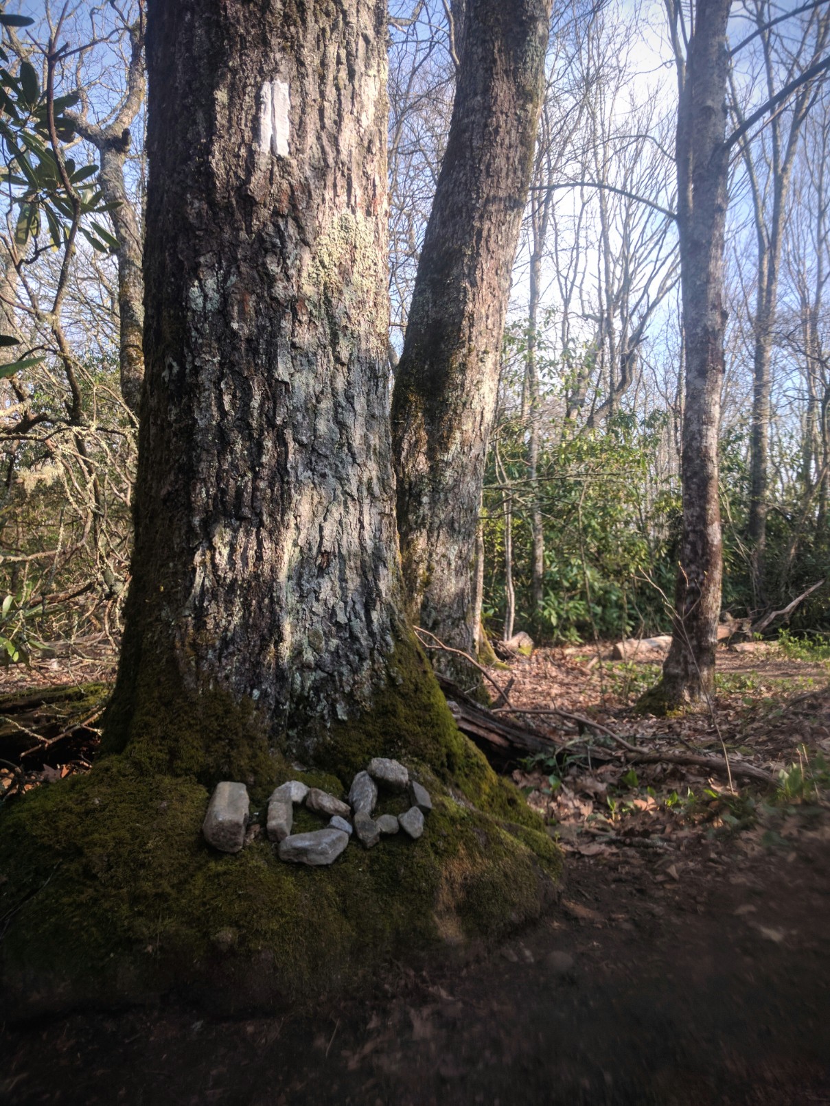
I treated myself to a zero day in Pearisburg, then hiked out the following morning on my birthday. Although the weather forecast was clear, a pop-up thunderstorm appeared while I was crossing a very rocky ridgeline and I decided to camp (Mile 648.7) rather than deal with the rain and slick rocks.

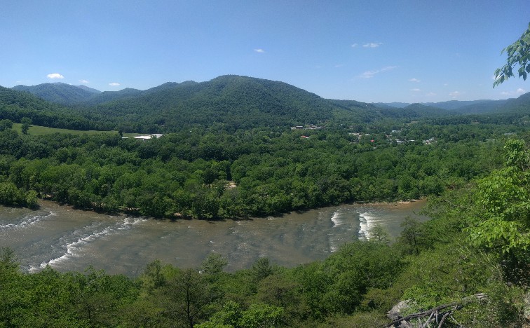
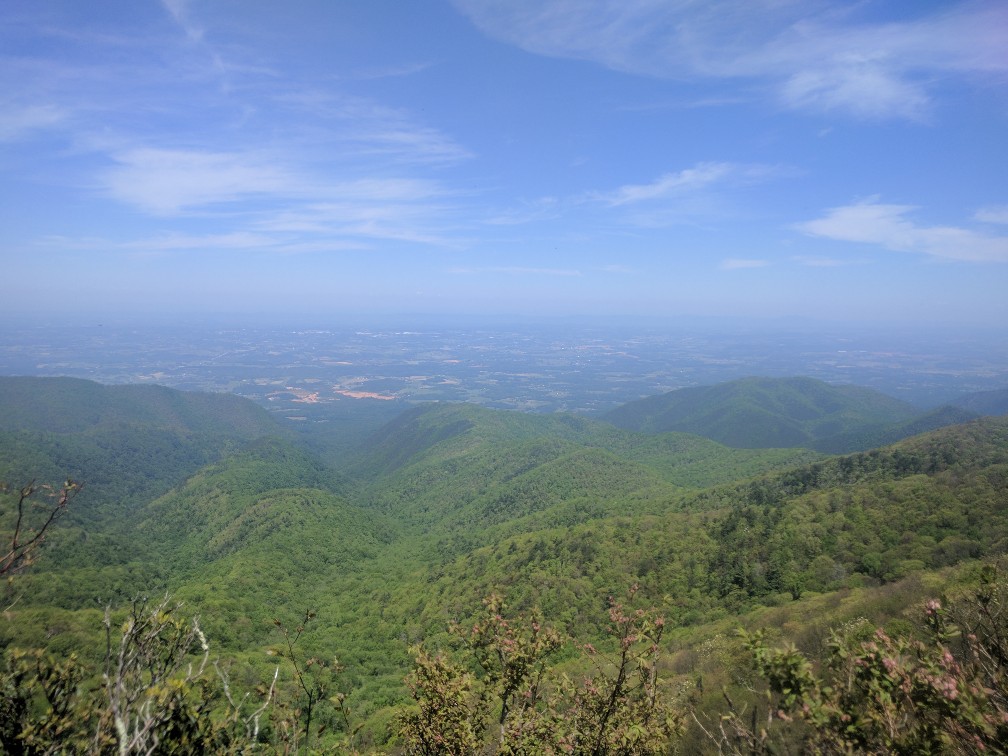
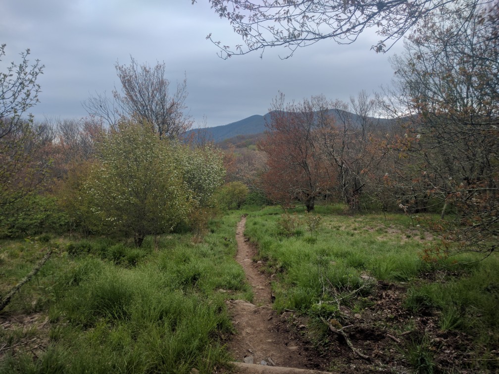
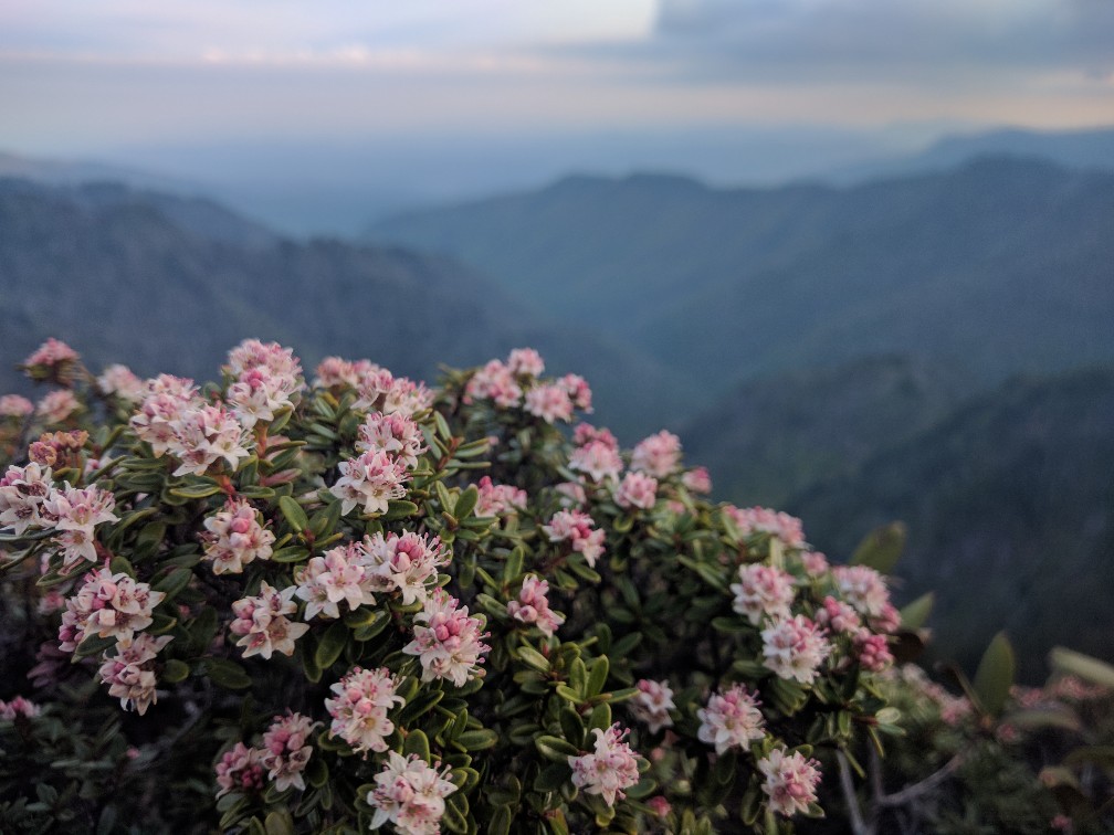
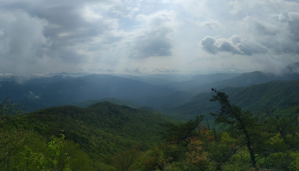
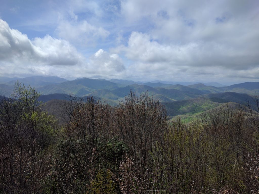
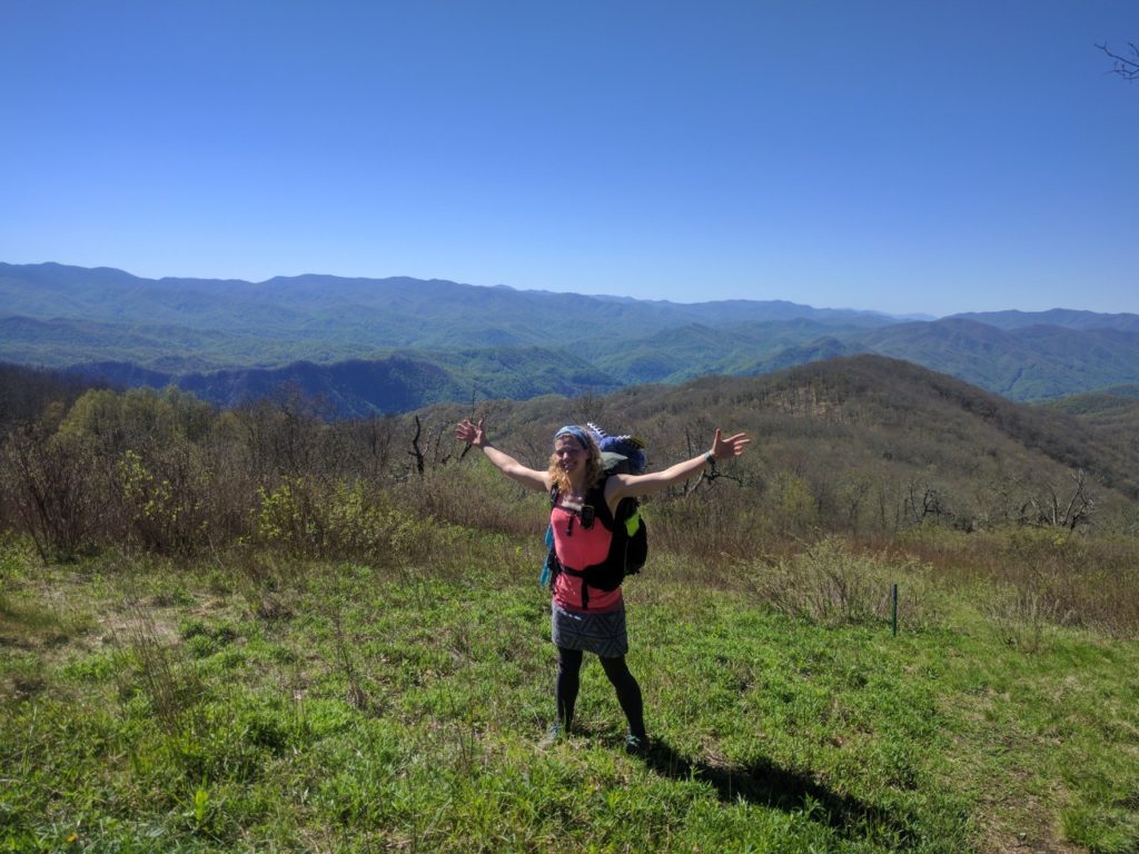
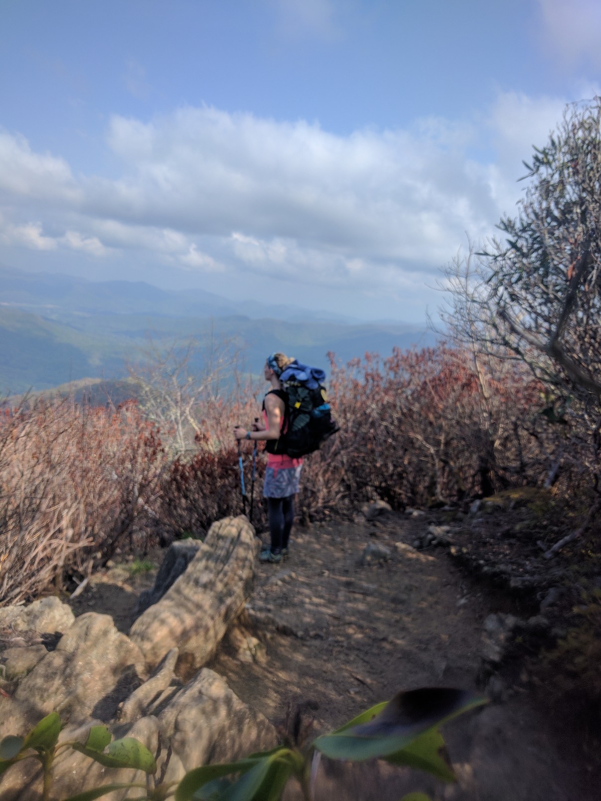
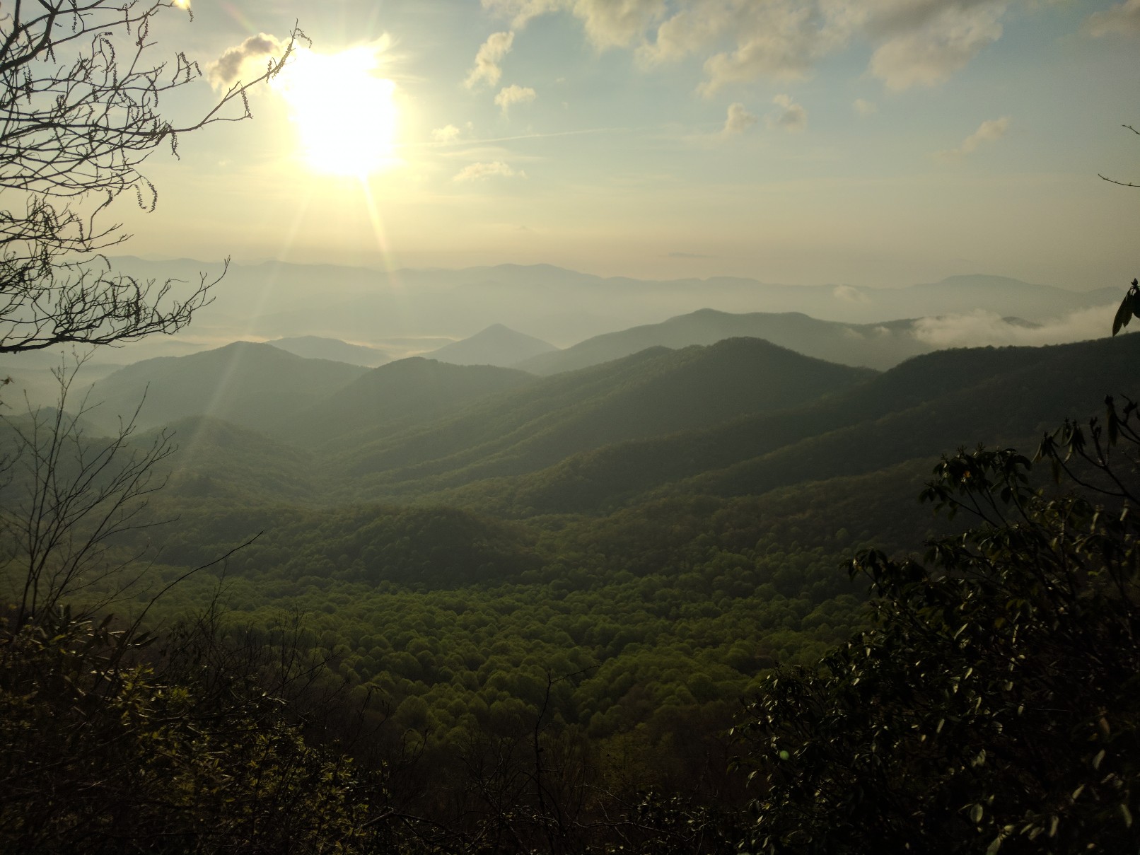
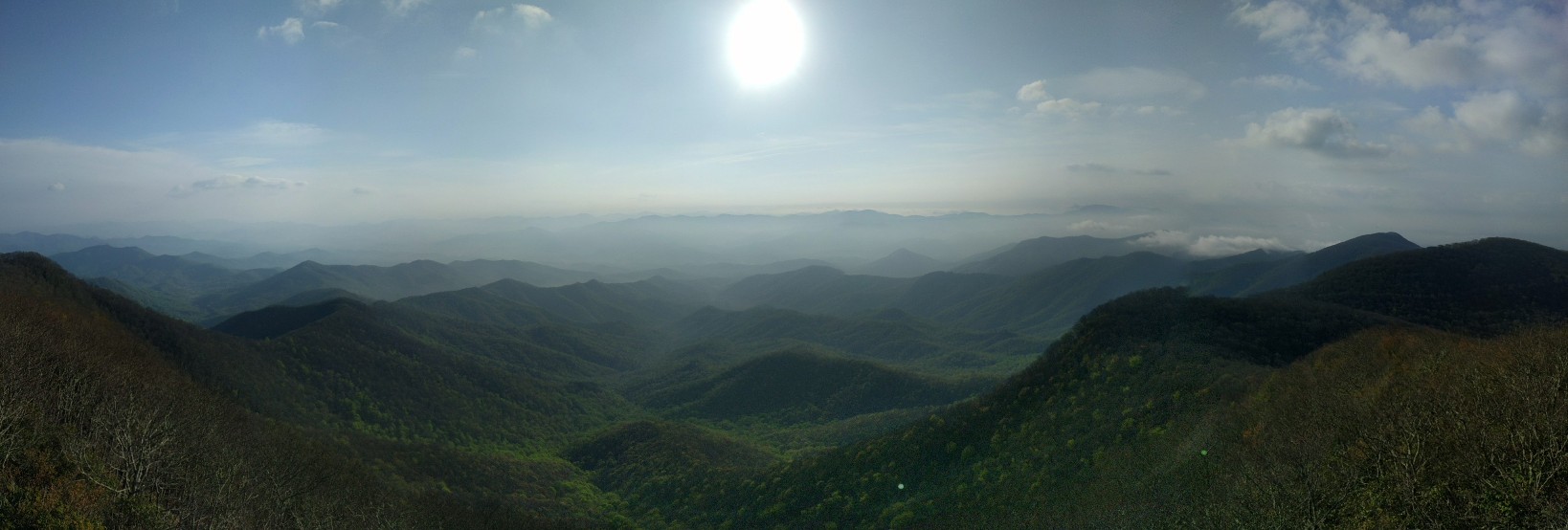
View from Rice Meadow, near Pearisburg

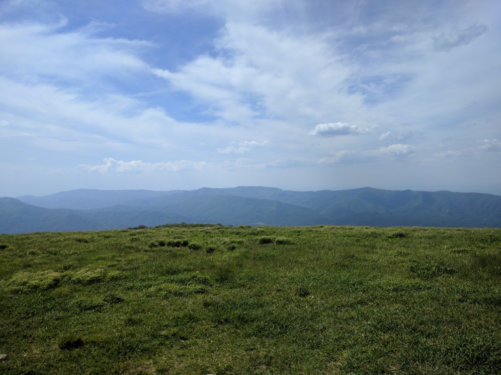
Thunderstorms approaching over Symm’s Gap

The next day, I was hoping to make up some mileage; however, as the day progressed it became apparent that this would not be possible. After several steep climbs and the rockiest terrain I have yet encountered, I was forced to camp at War Spur Shelter (Mile 667.4). This was the first time since GA that my endurance, rather than available daylight hours, was the rate-limiting factor for my hiking.

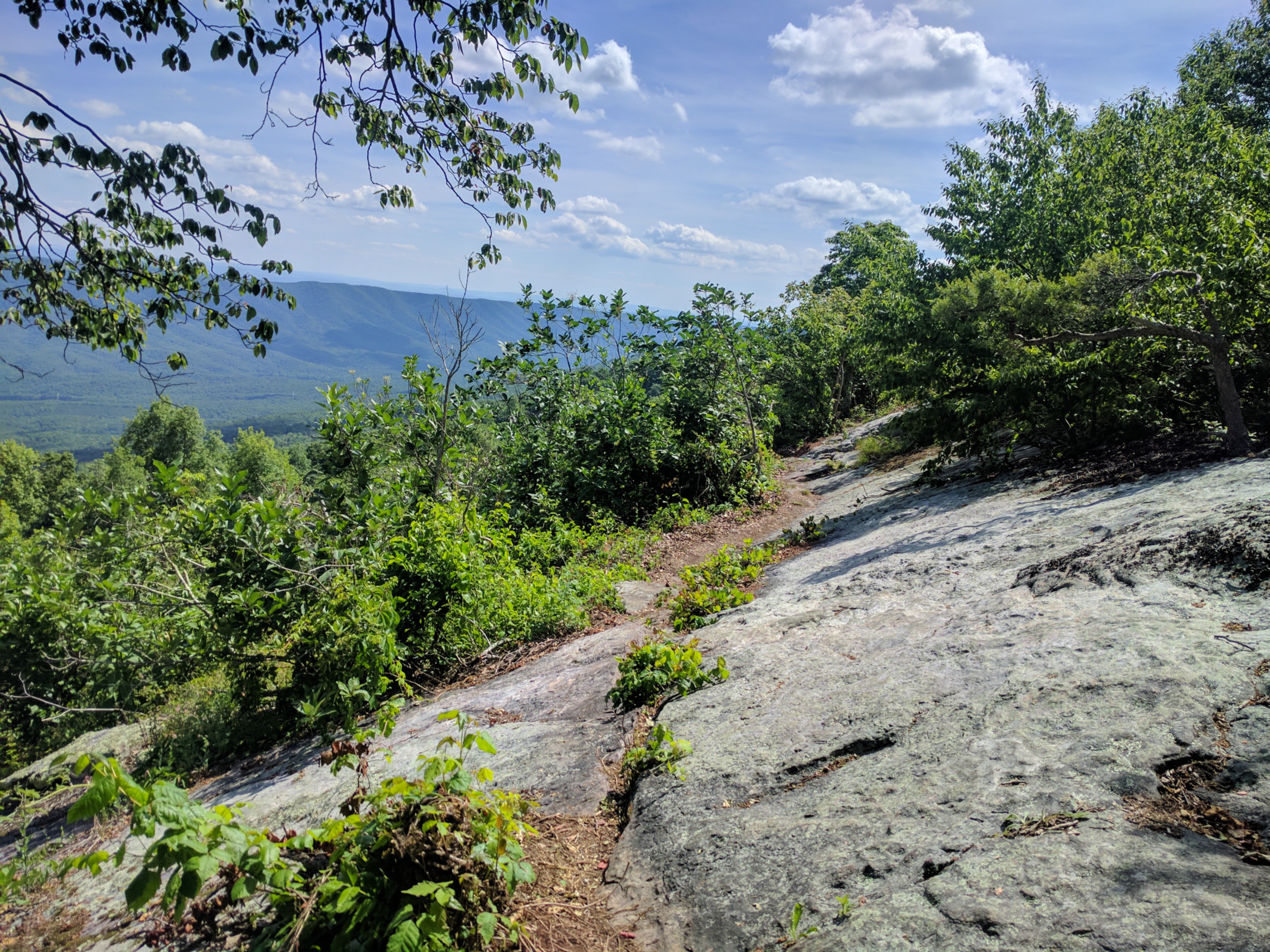
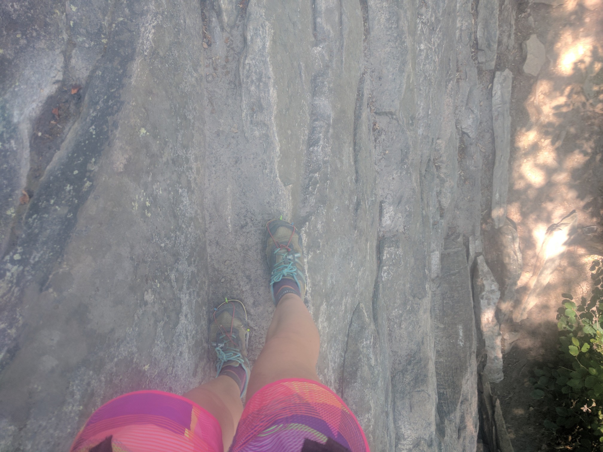
Nevertheless, I was determined to do 20 miles the next day. Although there were two substantial climbs, the toughest part of the day was actually the final 1.5 miles of ridgeline. On this portion of the ridge, the trail traversed exposed stone slabs, slanted at a 45-degree angle off the cliff-face. Hell on the downhill ankle and searing hot in the afternoon sun. Pretty views though!

Dubbed by my fellow hikers: Slabs o’ Death

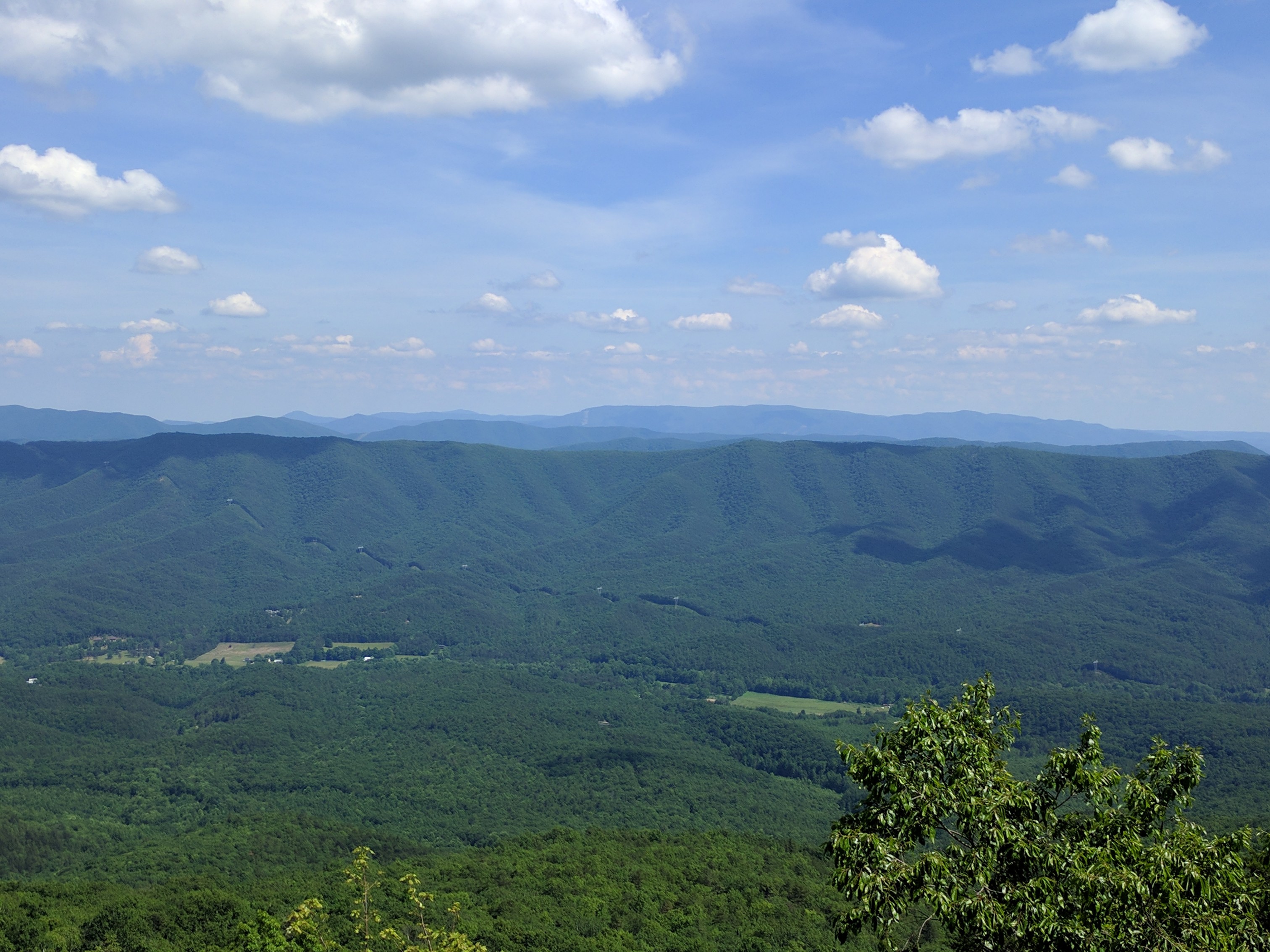
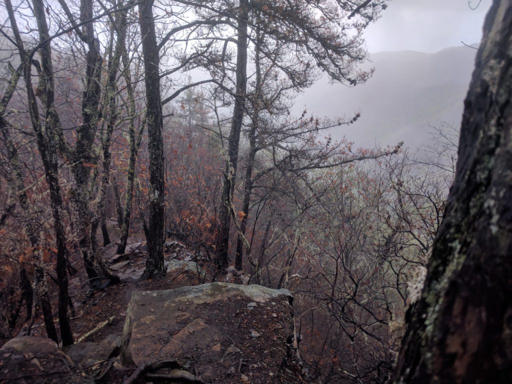
At least there was a nice view (although often enjoyment of these views is tempered by the subconscious knowledge that you will soon have to climb whatever you’re looking at).

After slowly making my way across the slabs and down off the ridge, I eked out my 20 miles and camped at the base of Brush Mountain (688.0). It was incredibly frustrating to have been completing 20 to 25 mile days without issue, and then suddenly struggle to do 15 to 20 painful miles!

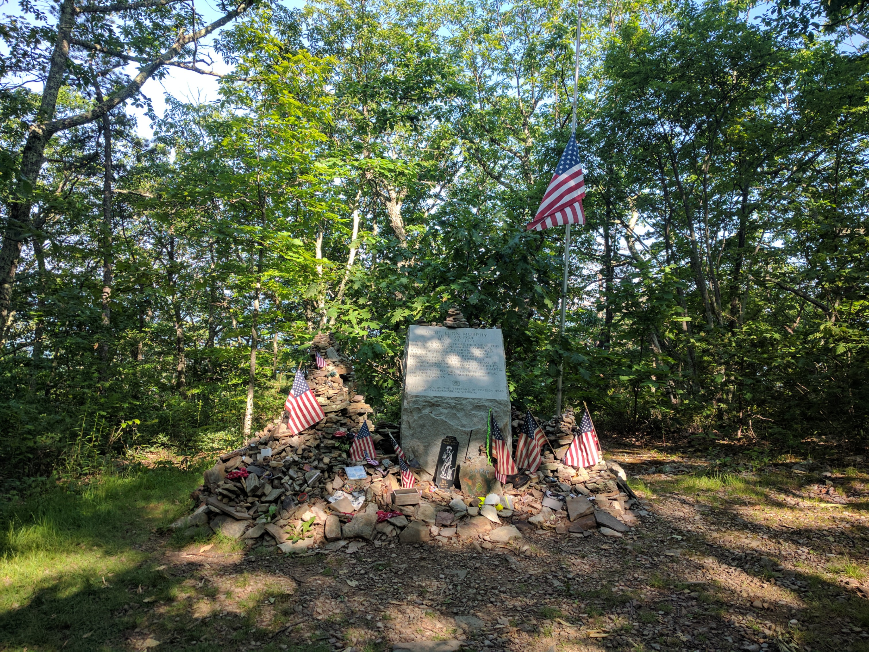
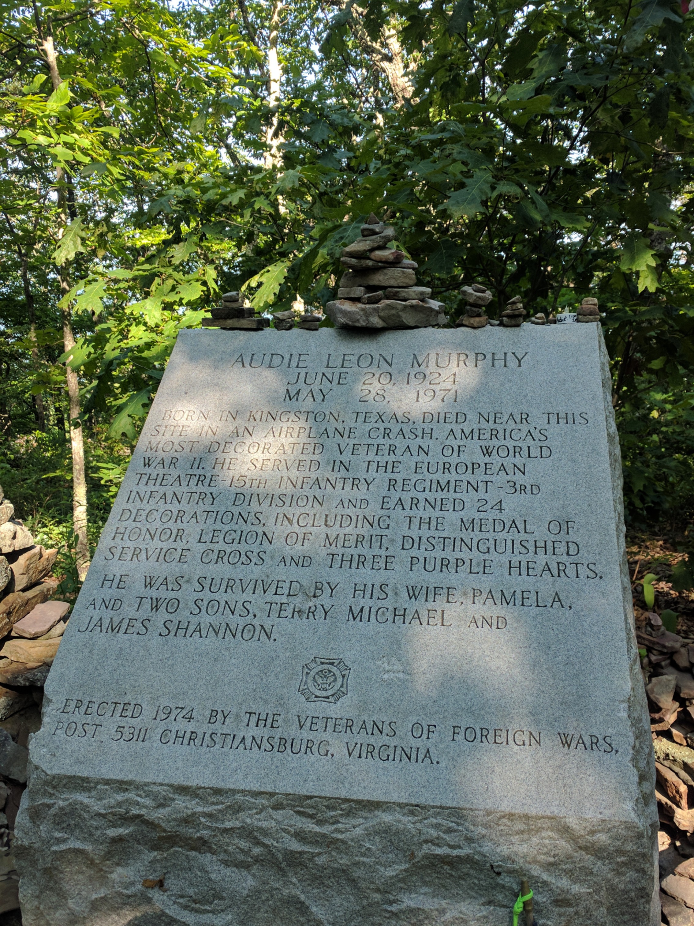
I left camp before sunrise the next morning in order to take advantage of the cool morning temperatures as I ascended Brush Mtn. At the top was a side trail to the Audie Murphy memorial (Mile 690.8) Murphy, one of the most decorated WWII veterans, perished in a plane crash near the memorial site.

Audie Murphy memorial

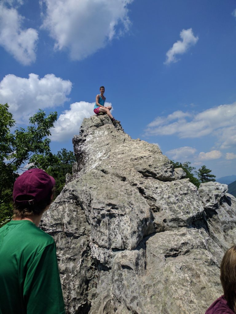
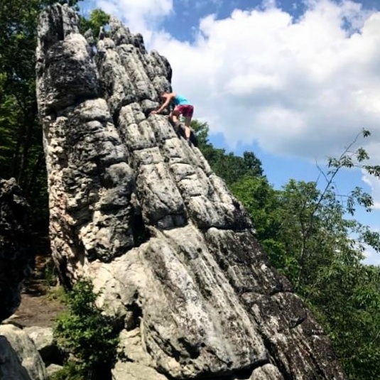
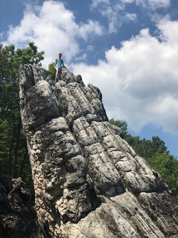
The trail turned into an extensive rock scramble as I approached Dragon’s Tooth (Mile 700.1), a massive stone monolith. The area was very busy with dayhikers, but I enjoyed shucking my pack and bouldering a bit (to the horror of the dayhikers). I have missed rock climbing a lot since starting the trail, and it felt great to do something that wasn’t hiking!

Mile 700!!

Playing around on Dragon’s Tooth

Some slabby “bouldering” on Dragon’s Tooth

Descending from Dragon’s Tooth also involved some cliff navigation, which was a bit unnerving with my pack on. This was one of the only areas of the marked trail thus far where I actually feared the risk of injury. Indeed, I found out later that one of the hikers I know had fallen down a small cliff on the descent that afternoon, and subsequently left the trail (he sustained only minor scrapes and bruises, but the experience was the last straw for him after several bad days in this rough section).

Yes, this is the marked trail. And yes, that is the ground 12 feet below me. Preview of the Northeast?

Exhausted from the descent, and with sunset approaching, I had to stealth camp off the side of the trail after climbing up the next ridgeline (Mile ~705).

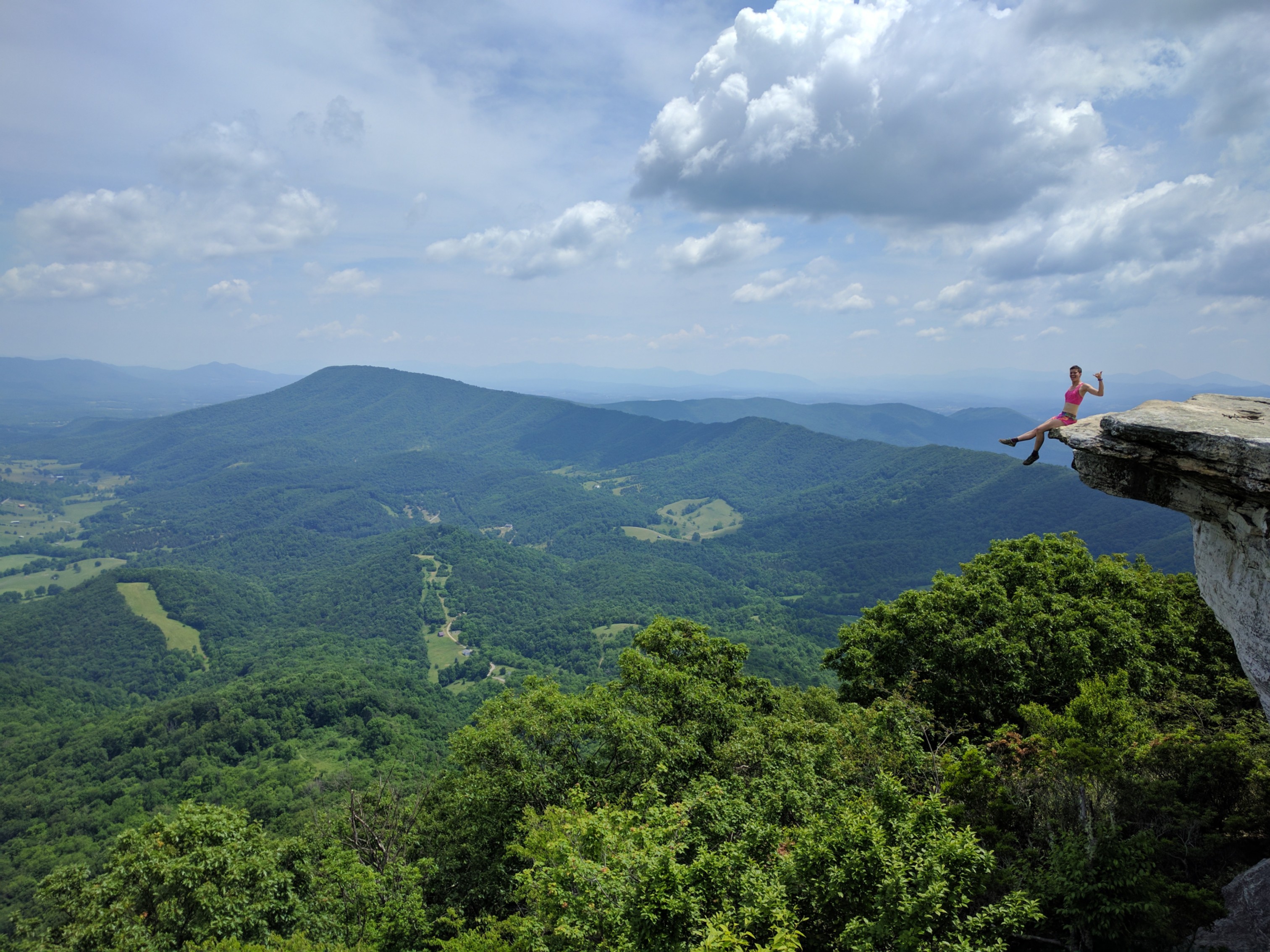
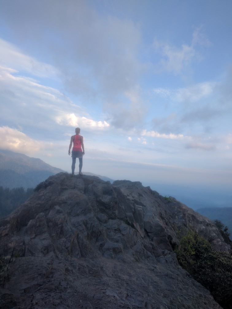
The following day had a few AT landmarks to make the rough terrain worthwhile. McAfee Knob (Mile 712.0) is the most photographed area on the entire AT, for good reason.

Not as dangerous as it may appear, I assure you.

Shortly after McAfee, the trail traverses Tinker Cliffs (Mile 717.1) with fantastic panoramic views.

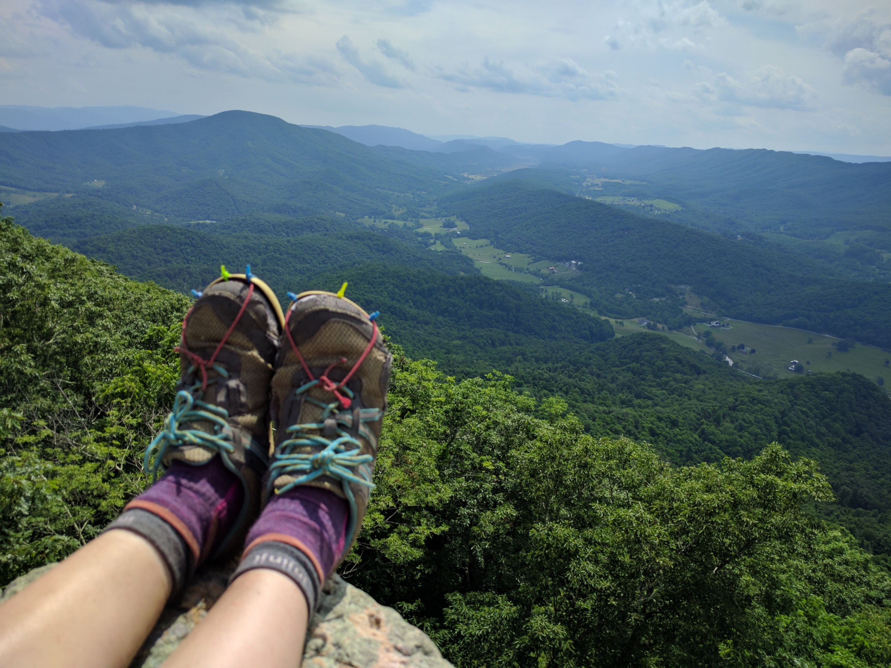
Letting the ol’ trail runners enjoy one last moment in the sun on Tinker Cliffs

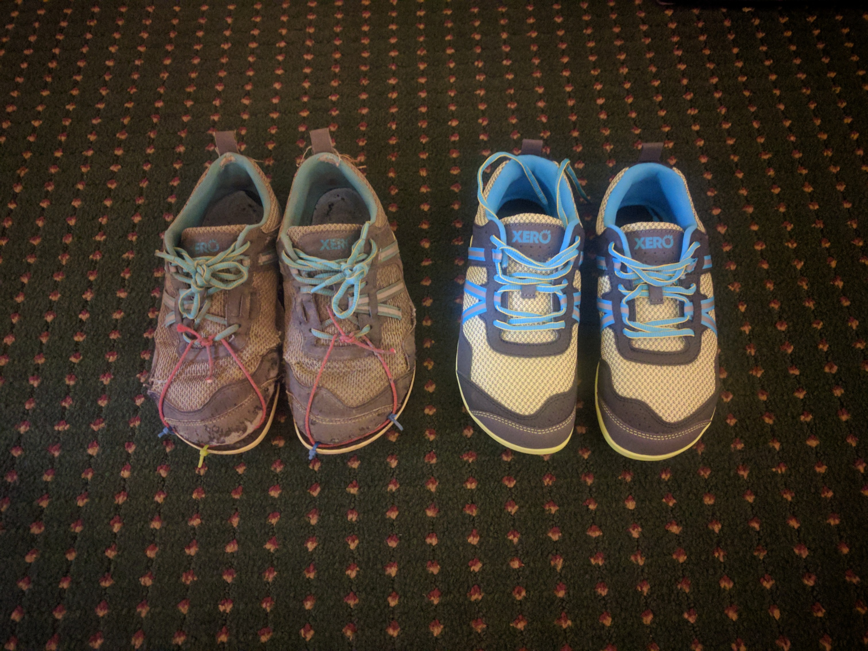
I opted to camp at Lambert’s Meadow (Mile 718.8) rather than arrive in Daleville late in the evening. In the morning, I completed the remaining relatively-easy 10 miles into Daleville (728.1), where I picked up the maildrop containing my new trail runners and resupplied.

Old and New!

The next section of trail from Daleville to Waynesboro (Mile 860) includes long climbs and is likely a rock-farm as well. I decided to take an unplanned zero day to rest my beaten-up feet. For the next section, I intend to adopt a slower pace which will hopefully help me keep my feet healthy. The forecast is also 5 days of rain, which may slow me down further in rocky areas. But, that’s part of the appeal of the AT: as soon as you think you’ve figured it out, it throws something new at you and forces you to adapt.

So long, North Carolina!

Ok, I’m terribly behind on blogging but I have a one word explanation for you: norovirus. Enough said.

Contrary to what my last post would seem to indicate, I didn’t magically teleport from Standing Bear to Hot Springs. I left the hostel (Mile 240.3) in the pouring rain to undertake a legendarily onerous climb up to Snowbird Peak (4,259 ft). The rain and dense fog made that climb seem even more like an unending steep treadmill of mud. 

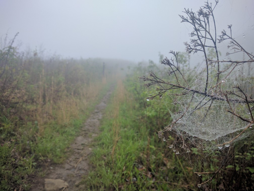
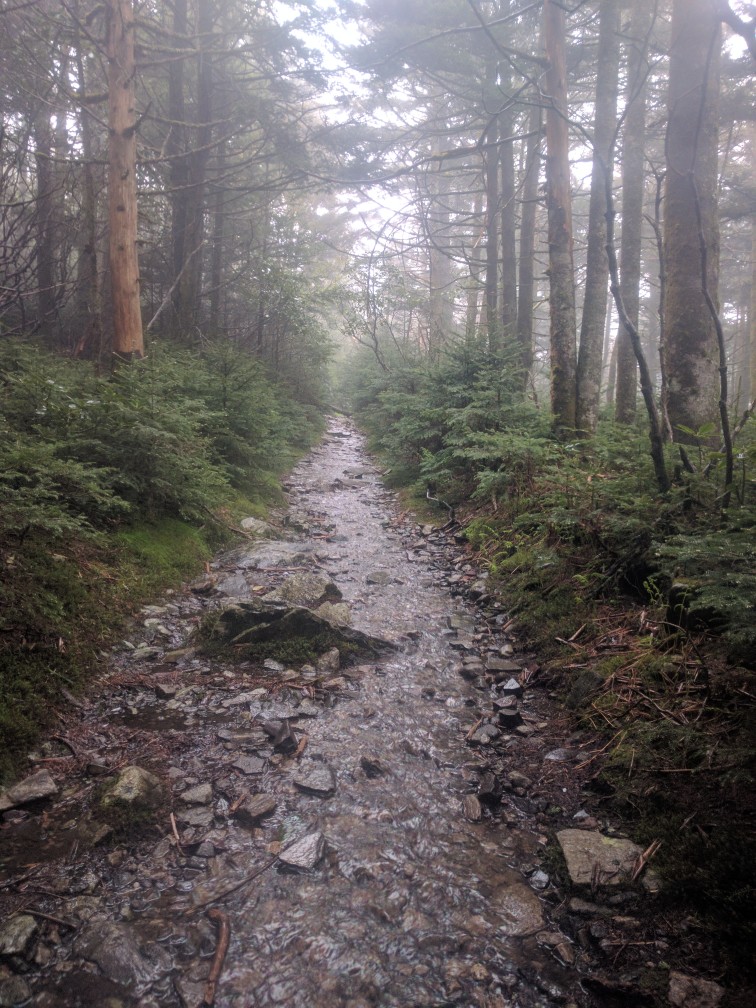
Eerie fog on Snowbird Peak

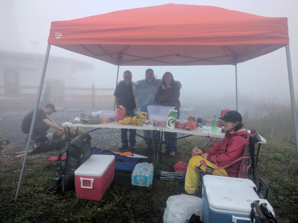
Not my favorite miles, to be sure. Surprisingly, I was greeted by a group performing Trail Magic at the very top. Nothing lifts a hiker’s spirits like free food, drinks, first aid, and even lawn chairs to take a break in!! 

Hikers enjoying a much needed rest with some Trail Magicians

Thanks again to the awesome crew from Snowbird. You guys really made my day with those doughnuts!

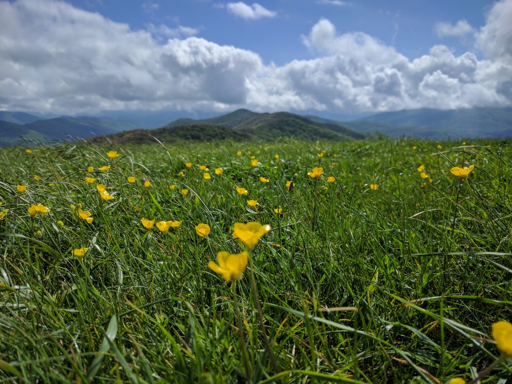
The rain finally cleared just as I was heading up Max Patch (Mile 253.6), one of the most popular scenic balds on the AT. I challenge anyone to resist the urge to belt out, “The Sound of Music” up there. I certainly couldn’t.

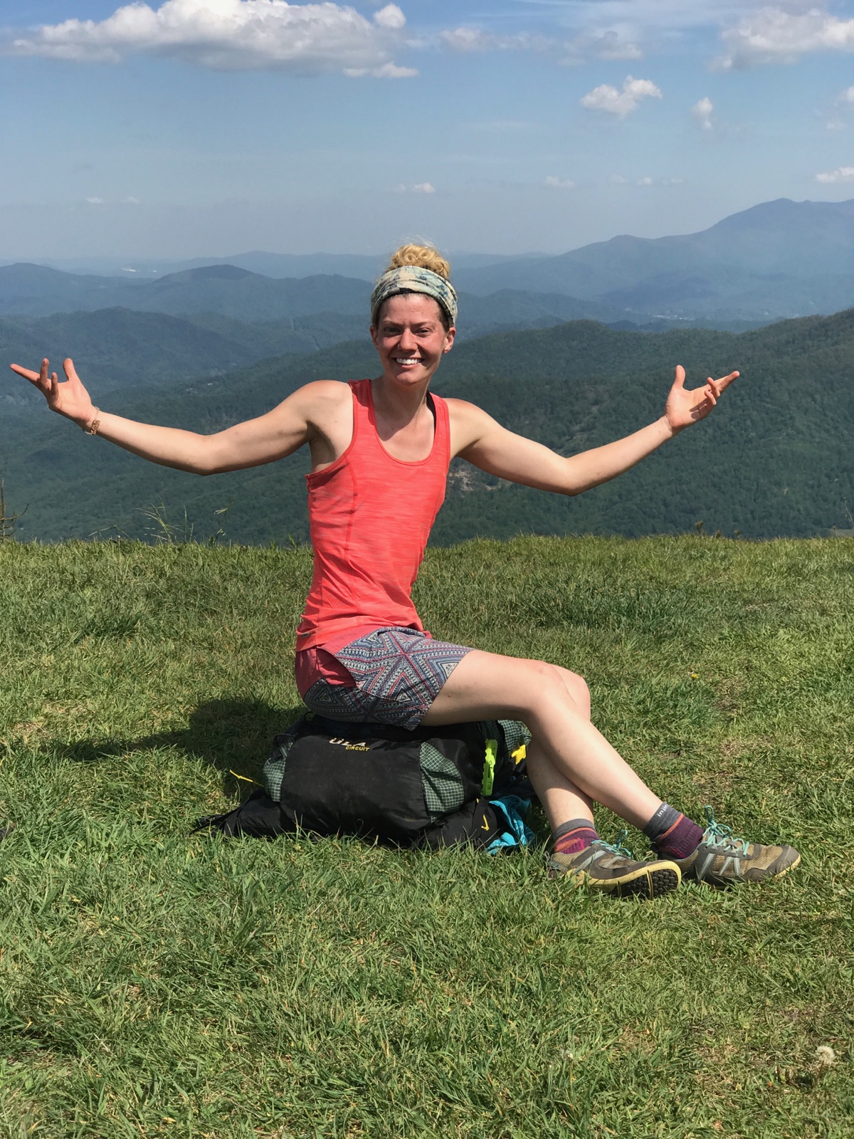
Max Patch, 4,616 ft

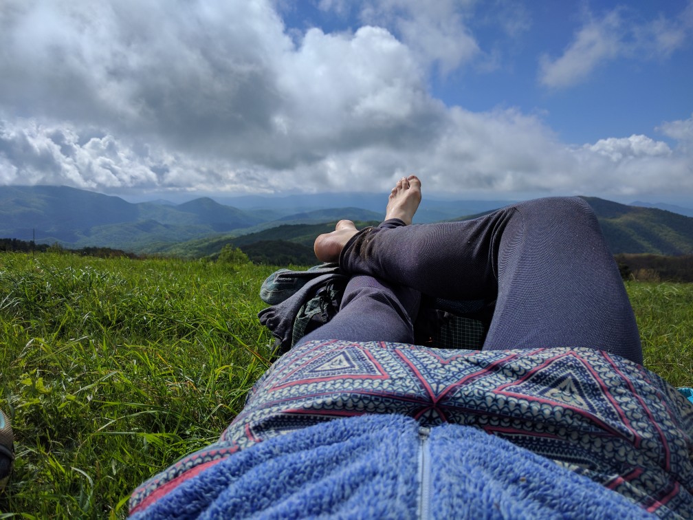
I also couldn’t resist lingering on Max Patch for over an hour…

After tearing myself away from the beautiful views, I descended to Roaring Fork Shelter (Mile 255.5) for the night. The next morning was a long descent into the reknowned AT hiker town of Hot Springs, NC (Mile 273.4). As I walked past the first hostel at the edge of town, lo and behold, there was my trail family that I lost at the Fontana Dam when I left for graduation!! They had encountered horrendous weather through the Smokys and had fallen peril to the “Town Vortex” for two days, enabling me to catch up (or that’s their excuse, anyways).

Hot Springs, NC. Easy to get to, impossible to leave.

Determined not to get trapped in the incredibly hiker-friendly and notoriously difficult to leave town, I vowed to only stay the night. We managed to leave the following afternoon and climb to Spring Mountain Shelter (Mile 284.4). 

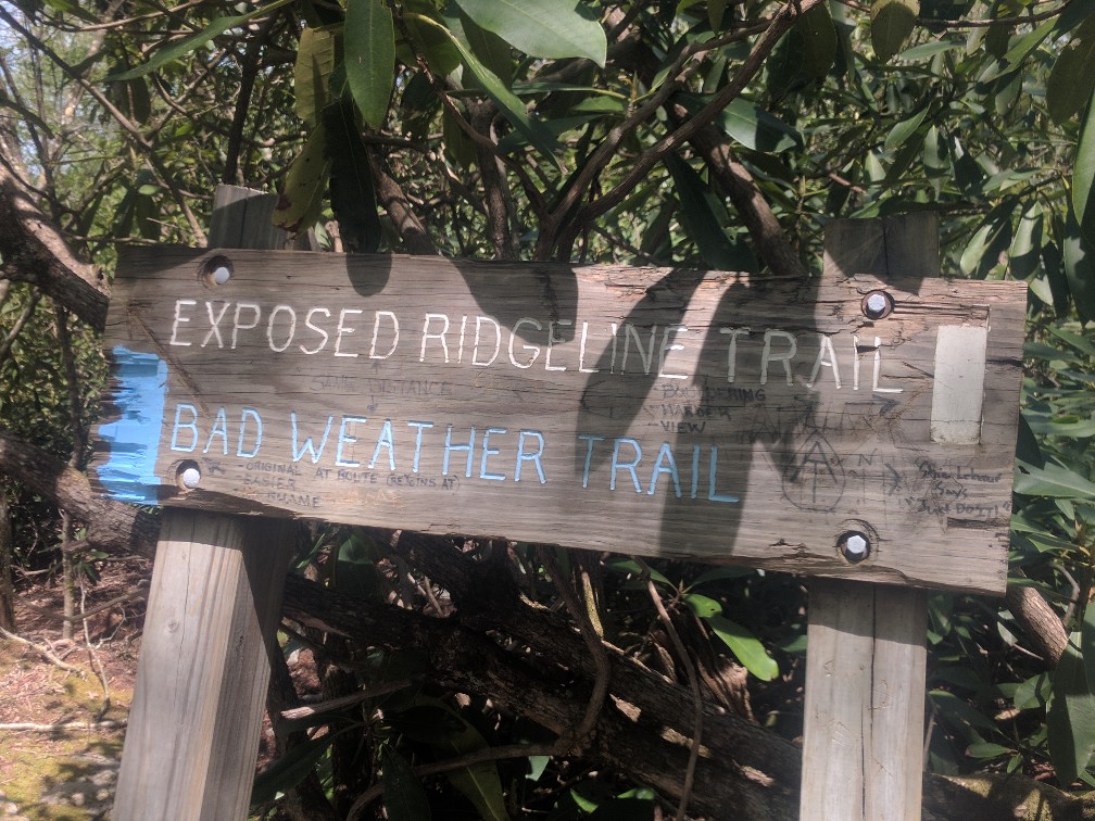
The highlight of the following day’s hike was the traverse of a long exposed ridgeline to Big Firescald Knob (4,531 ft).

Is there any sweeter sign than “exposed ridgeline trail”?

View from Big Firescald Knob (Mile 297.6)

We made such good time over the ridgeline, we decided to continue past our original objective for the day to Flint Mountain Shelter (Mile 307). A new record: 22.6 miles!

Leaving early for another high mileage day, we walked the TN/NC border to the base of Big Bald (Mile 324.6). This was the toughest, but most rewarding, climb I’ve made to date. We somehow completed it in a single sustained effort, thanks largely to Gonzo’s insane “we don’t stop on hills” ethos. The reward was a magnificent 360 degree view that my phone camera cannot even begin to capture.

Big Bald (5,505 ft). Trust me, you had to be there.

Triumphant. Photo cred to Gonzo.

After conquering Big Bald (and lazily enjoying the spoils of our victory for a while), we hustled down to Bald Mountain Shelter (Mile 325.9), ate dinner, and decided to make it another 22-mile day by pushing on to the tentsite at Whistling Gap (Mile 329.3). It was probably the best day I’ve had on the AT yet… or it was. Until I spent the night vomiting uncontrollably out the door of my tent. Yeah, you forgot about that norovirus bit didn’t you?

The next day was spent making my way groggily down out of the mountains to the thankfully nearby (well… only 13.5 miles) Erwin, TN (Mile 342.7). I will spare you the details of my journey except to say that norovirus and hiking do not go well together. I spent a zero day convalescing in Erwin while my trail family joined the many other hikers convening at Trail Days, a weekend-long AT festival held in Damascus, VA. I’m sad to have missed the fun, but thankful to have made a full recovery.

Leaving Erwin, the trail climbs Unaka Mountain (Mile 356.2). I camped near Cherry Gap Shelter (Mile 359.8) and was awakened by a thunderstorm in the middle of the night. It continued to rain off and on throughout the following day, but nothing too intolerable. As I made my way up Roan Mountain at the end of the day, however, I got caught in a sudden downpour that turned the trail into an ankle-deep stream. 

Trail? Stream? Same difference.

As I slowed down to navigate the poor footing (and also having lost a shoe to the mud on more than one occasion), the wind-whipped rain completely soaked me through my rain gear. Roan Mountain is part of the Roan Highlands, known for its consistently cold environment and the rare plants and animals that thrive there. However, I found this climatological oddity to be much less fascinating than I ordinarily would have, given that I was quite clearly at risk of becoming hypothermic. I had already mailed my winter gear home from Hot Springs and had nothing but my down jacket and sleeping bag in my pack, both of which would be rendered useless if they became wet. Note to any aspiring thru-hikers: Everyone says you can mail your winter gear home after the Smokys. DON’T. Keep it through the Roan Highlands. 

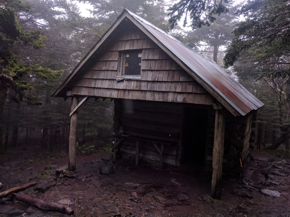
You cannot imagine the depth of my relief when I saw it had four walls and a door!

Roan High Knob Shelter (Mile 377.4) is the highest shelter on the AT at 6,250 ft. I immediately went inside, removed my soaked attire, and crawled into my sleeping bag for an hour until I finally warmed up. I’m not going to lie, that was scary. And foolish. And totally preventable. Lesson learned.

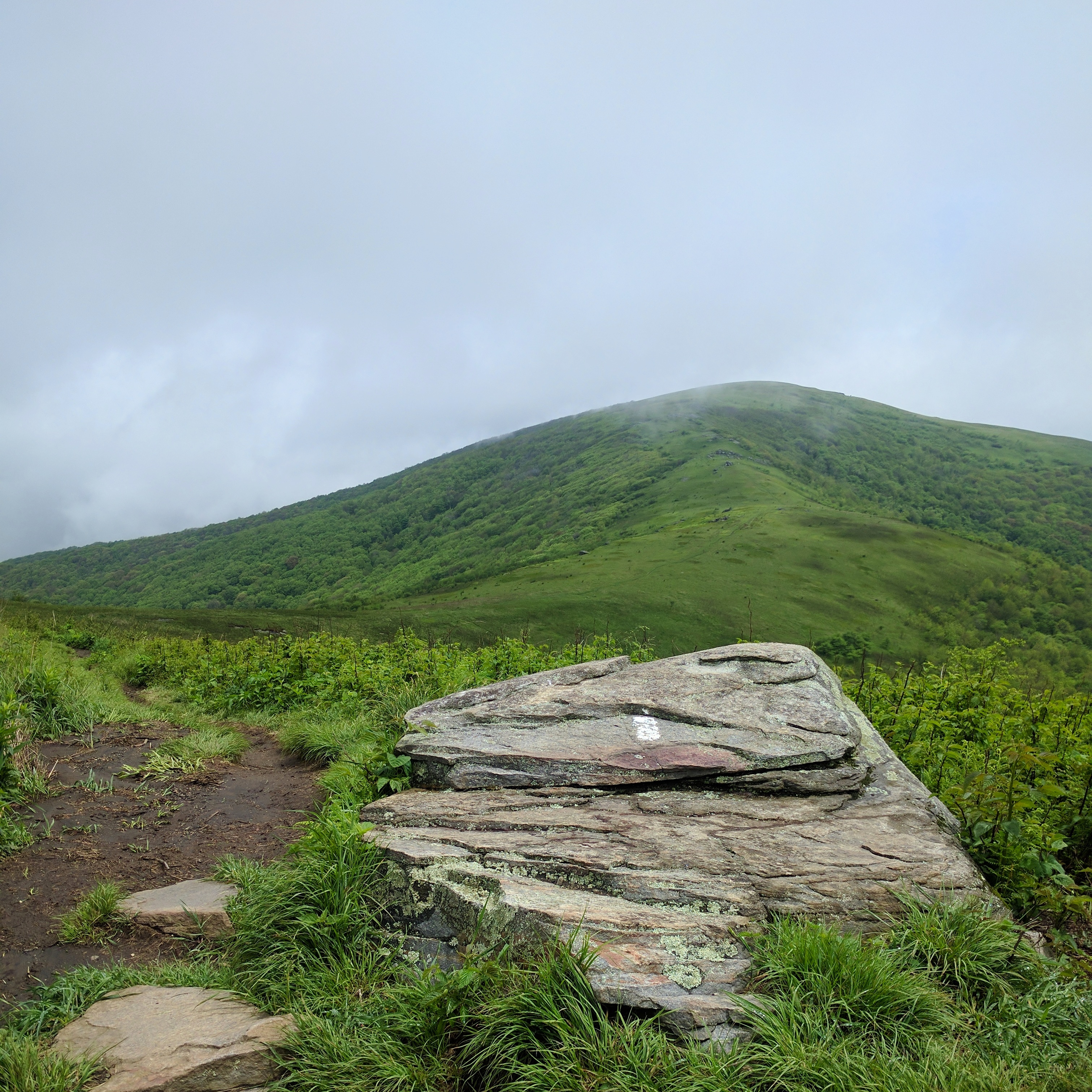
It was difficult to walk back out into the rain this morning. Even after hanging on a makeshift clothesline in the shelter all night, my clothes and gear were still soaked. I convinced myself that I would be ok warming up my clothes in my sleeping bag since I’d be headed to a hostel tonight and could dry it out there. After a warm breakfast, I donned my squishy shoes and headed back out onto the muddy trail. The weather improved demonstrably as I descended off the mountain, though light rain and clouds lingered until the early afternoon. Unfortunately, the clouds obscured most of the views from the balds of the Roan Highlands, until Hump Mountain (Mile 386.1).

Hump Mountain (5,558 ft)

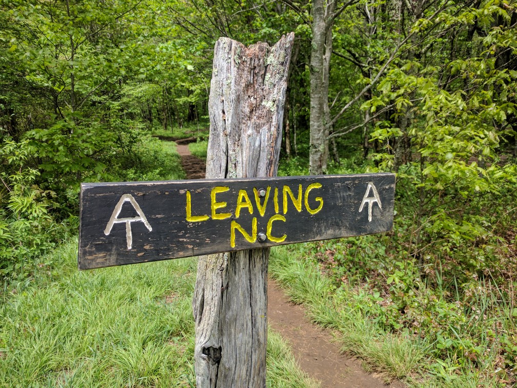
On the descent from Hump Mountain into Roan Mountain, TN (the town, not the mountain that tried to kill me last night), the AT officially leaves the state of North Carolina for good (Mile 390.7)!

Two states down, 12 to go!

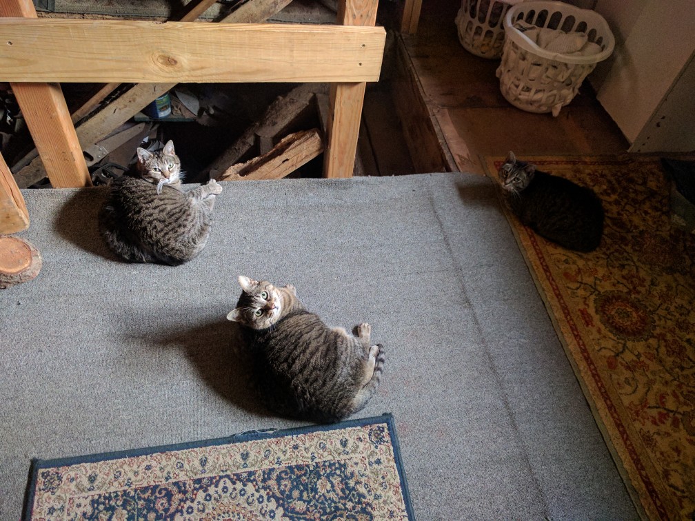
I am currently spending the evening at the lovely Mountain Harbour Hostel (Mile 393.7). This is my favorite hostel thus far (and it supposdly has an amazing breakfast, which I am really looking forward to)!

The hostel cats: Fat Cat, Medium Cat, and Jackie

It has been nice to dry out my gear, resupply, and relax. The forecast is calling for two more days of heavy rain. However, I won’t be exceeding 4,000 ft of elevation, so it shouldn’t be too chilly. Hopefully, my next (shorter!) update will be this weekend from Damascus, VA.

Through the Smokys!

At the last update, I had briefly left the trail at Fontana Dam to complete a different kind of walk back in Auburn:

A long journey in and of itself.

Fortunately, my four days off the trail happened to coincide with a terrible winter storm in Great Smoky Mountains National Park (GSMNT). As I caught up with my trail family over the past week, I heard many harrowing accounts of the life-threatening conditions they faced. Thru-hikers at this time of the year are simply not equipped to deal with sub-freezing temperatures, snow accumulation, and gale force winds!! I’m happy that everyone made it out ok, and I feel quite lucky that my own journey through the Smokys was blessed with exceptionally good weather!

I left Fontana Dam (Mile 165) on Monday afternoon, making the long climb up into the Smokys to Mollies Ridge Shelter (Mile 177). 

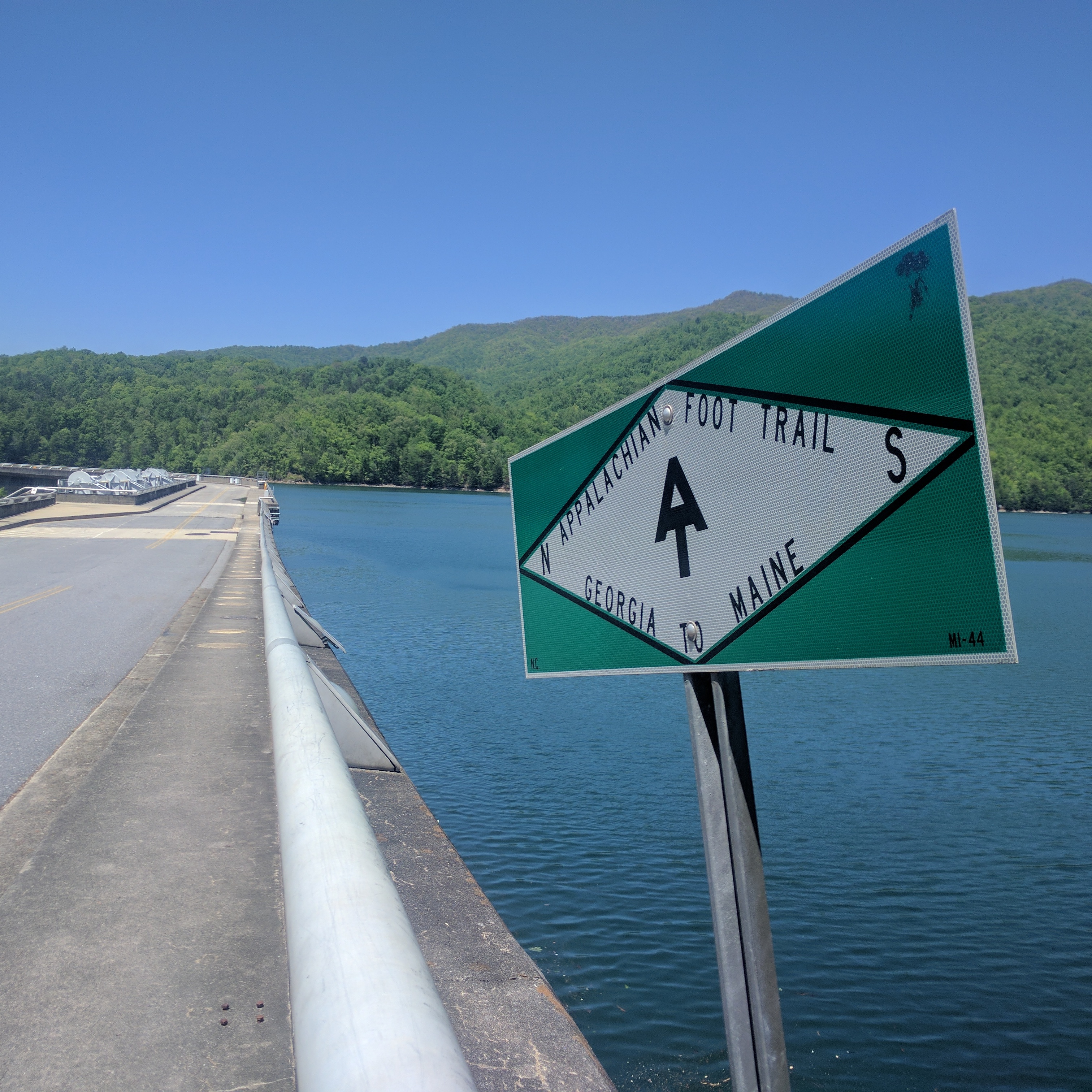
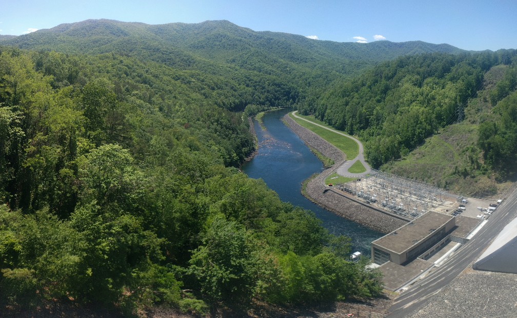
Fontana Dam, NC

Fontana Dam, NC

Getting back on the trail after four days off was more difficult than I anticipated. Actually it reminded me a lot of coming back to jiu jitsu after a few weeks off. Where did all my cardio go???

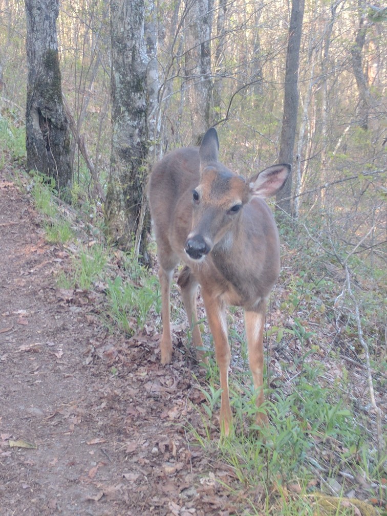
One thing I noticed immediately about the Smokys was that the deer are fearless. I had several encounters with deer using the trail which ended with awkward staring contests until the deer decided to let me pass.

You. Shall. Not. Pass.

Northbound, the AT passes first over tall, somewhat rounded mountains that become increasingly jagged and steep throughout the Smokys. 

Shelters in GSMNT are typically three-sided stone structures with two levels for sleeping. All of the shelters I encountered had tarps covering their open side and build-in internal fireplaces. The Smokys get COLD at night! Shelter use is mandatory along this section of the AT unless the shelter is full. Since I dislike shelters and the weather was amicable, I tried to put in some extra miles to arrive after the shelters were full.

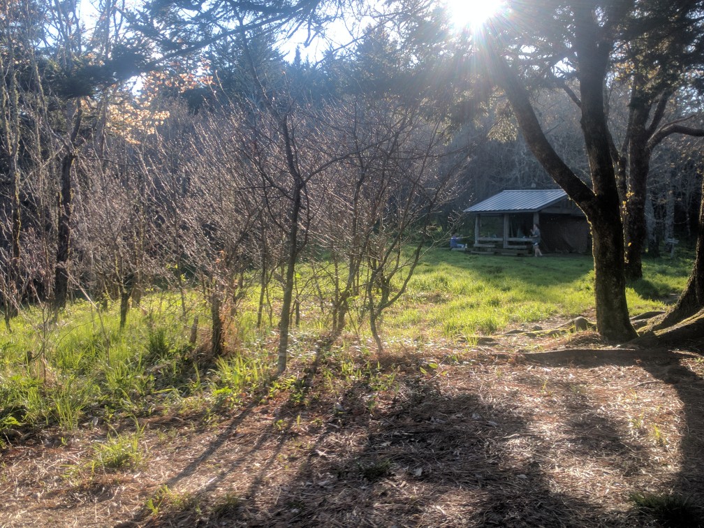
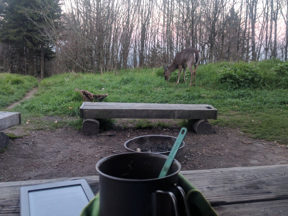
Double Spring Gap Shelter (Mile 196.4) was practically a scene from a Disney movie. Just prior to this point, the forest transitioned from deciduous trees to pine forest. Evening sunlight filtered through the pine trees and about a dozen deer browsed around the shelter.

Double Spring Gap Shelter

Dining with the deer

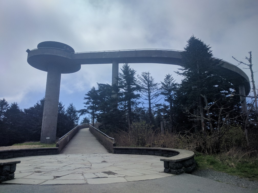
The next morning I reached Clingman’s Dome, the highest point on the AT and a major tourist attraction. It was fun chatting with the inquisitive dayhikers, although I did receive a few more “Bless your heart” responses than I would like (Note for my Yankee readers: this southern expression is NOT as kind as it sounds!). 

Observation Tower at Clingman’s Dome

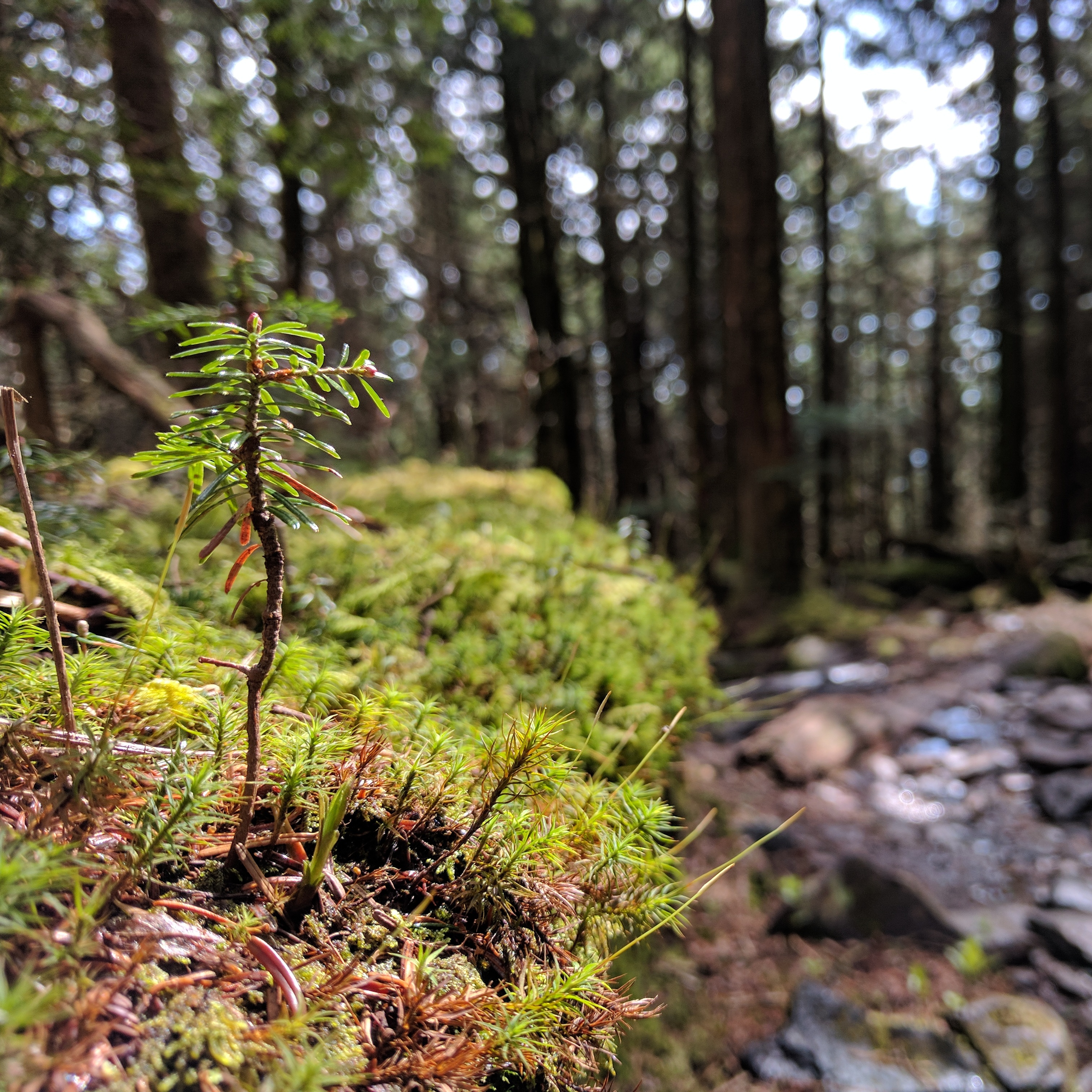
The pine forest immediately after Clingman’s was absolutely stunning. Anyone who knows me knows that I have an obsession with macro photos of moss… I probably took over a hundred moss photos in this section. I will spare you though.

Ok just one!!!

After spending the evening at Icewater Spring Shelter (Mile 209.8), I woke up early the next morning to enjoy another tourist favorite, this time without the crowds. Charlies Bunion is a large rock outcropping with stunning views. Had it all to myself!

Early morning at Charlie’s Bunion

View from Charlie’s Bunion

A long day brought me to Cosby Knob Shelter (229.6) where the presence of a ridge runner required me to actually stay in the shelter. This ended up working well as it rained hard that evening. I spent the morning hustling down out of the Smokys, determined to make it all the way through without getting rained on in the upcoming showers. 

Made it through the Smokys without a single drop of rain actually hitting me!!

A stormy forecast and the waning battery life of my phone and GPS convinced me to stay the evening at Standing Bear Hostel, just outside the Smokys.

I am currently in Hot Springs, NC (Mile 273.4). The rest of my journey here (and beyond) will have to wait until I get to Erwin, TN on Friday or so because it’s time to GET HIKING!!!

Sorry for the rushed update, it’s hard to cover a week’s worth of trail, much less the gorgeous Smokys.

Back to Civilization

It’s remarkable how the slightest change in circumstances can drastically alter my perspective on the trail. On the long descent into Winding Stair Gap (Mile 109.5) to catch my ride into Franklin, I began to experience a nagging and familiar pain on the inside of my left knee, about two inches below the joint. On previous hikes I have struggled with pes anserine bursitis, inflammation of a bursa near the MCL due to stress on the hamstrings. Although quite painful to hike through, this condition does not cause permanent damage. I’ll admit that my omission of this occurrence from my last blog post was from complete denial. I was hoping it would improve with my overnight rest in Franklin on Saturday night.

…but does it count if I *smell* like packstock?

I set out the following morning from Winding Stair Gap with the knowledge that, in spite of the pain, I would need to complete approximately 55 miles to Fontana Dam by Thursday in order to utilize the travel arrangements I had made previously to return to Auburn for my graduation ceremony that weekend. It was not going to be fun, but it was certainly feasible. As I was carefully hobbling along at about 1.5 mph up the ascent from Winding Stair Gap, I heard a familiar voice behind me yell, “That can’t be Curly Sue!” The fastest of the thru-hikers (no, really: his trail name is Speedy Gonzales, Gonzo for short) from my stormy evening at Gooch Gap shelter had appeared behind me. He explained that he had left the trail at Neels Gap due to a knee injury and was just now catching up to our group. I told him about my similar predicament, leading him to reveal to me perhaps the most effective trail wisdom I’ve learned to date: Head Back, Chest Out!

Evidently the orthopedic specialist he had visited was no stranger to thru-hiker injuries and dispensed this gem of advice. Hikers have a tendency to stare at their feet when hiking, particularly steep downhills. Bending forward and down to look at one’s feet extends the weight of the head (8 to 11 lbs) away from the center of mass and out over the knees, putting excess pressure on the MCL. The resultant effect is rather like carrying a bowling ball out in front of you down thousands of stairs. By making a conscious effort to keep the head at a neutral angle and the chest forward (or “proud” as they like to say in yoga classes), the weight is distributed through the core and hips instead of the knees.

I was skeptical, but the explanation seemed logical and frankly I was willing to try anything at that point. Gonzo disappeared up the trail with his eponymous velocity, leaving me to wonder if he was even real or if the trail was finally getting to me. Making a concerted effort to alter my posture, I proceeded along the trail. The relief was immediate; miraculous, almost. I was able to move at my normal pace without pain. Hiking became fun again! It still amazes me that such a slight change in posture could completely change the outcome of my whole hike. Ever since this epiphany, I’ve found myself thinking much more deliberately about my posture and the efficiency of my movement as I hike.

Since I was feeling better, I even hiked a short side trail up to the summit of Siler Bald (Mile 113.8) to eat lunch. The views were well worth the short, steep climb. As much as I enjoy hiking alone, I couldn’t help but think about all the people I would have liked to share that view with.

Siler Bald – not technically on the AT but worth the additional 0.2 miles!

Rain was expected to begin at about 5pm, so I had to hustle up the long ascent to Wayah Bald. Storm clouds loomed overhead as I reached the summit, encouraging me to keep moving to the nearby shelter.

Wayah Bald

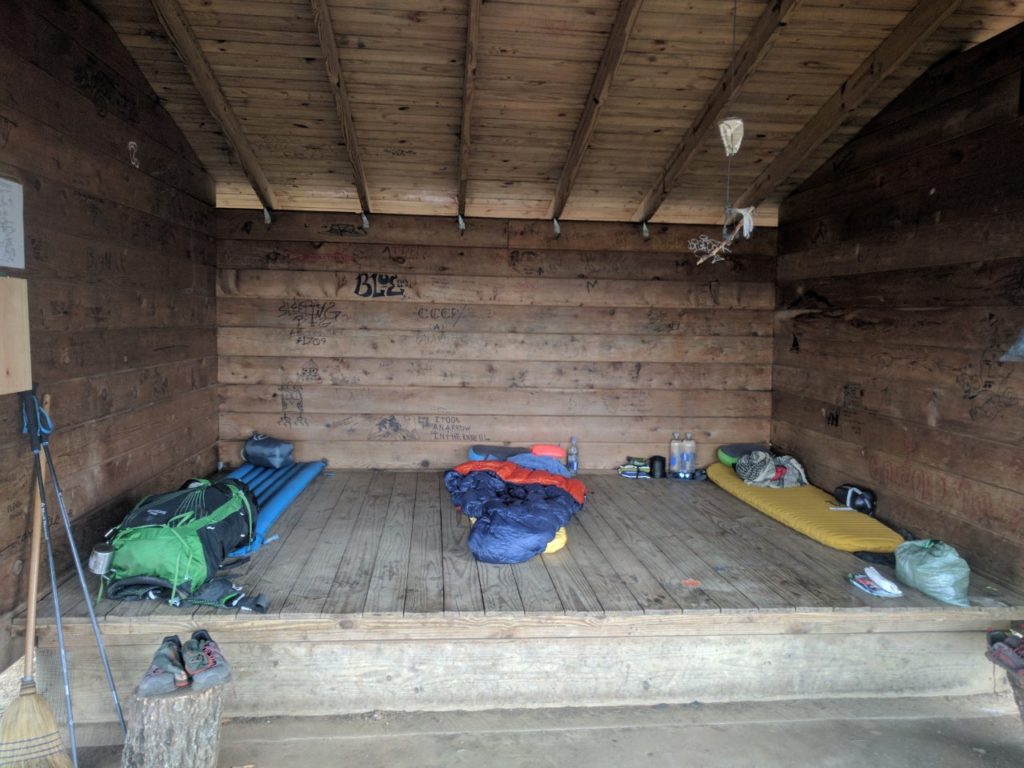
I proceeded to Wayah Bald shelter (Mile 120.5) that afternoon where I found the ebullient Gonzo and another thru hiker, Forrest. Although all three of us had sworn to avoid shelters after the attack of the Gooch Gap shelter mice, the stormy forecast and newly remodeled shelter (Wayah and Wesser Balds both burned last year) convinced us to give shelters another chance.

Much more spacious with only three people.

We spent a comfortable night without any noticeable rodent activity and awoke to the sound of pouring rain— it is very satisfying to wake up under a roof in a rainstorm. Visiting the privy in the rain, I noted a potential explanation for the lack of mice in the shelter. Several of them appeared to have become trapped in some buckets in the privy.

Do not be fooled by their adorable beady eyes. They want to destroy everything you hold dear.

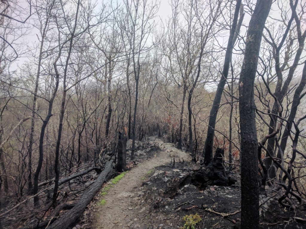
I had initially intended to take a short day to the Wesser Bald shelter (Mile 131.1), but my companions made a strong case for pushing a few extra miles to the Nantahala Outdoor Center (NOC; Mile 137.1): there was a restaurant there… with cheeseburgers. The day consisted of a long climb up Wesser Bald, followed by a 3,000-ft descent down to the Nantahala River. The intensity of the rain varied substantially throughout the day, from a tolerable mist to horizontal torrents that left me soaked in spite of my rain gear. Squalls announced themselves from a distance, roaring up the ridgeline like an approaching freight train. The trail became a river of mud as I passed through mile after mile of burned forest.

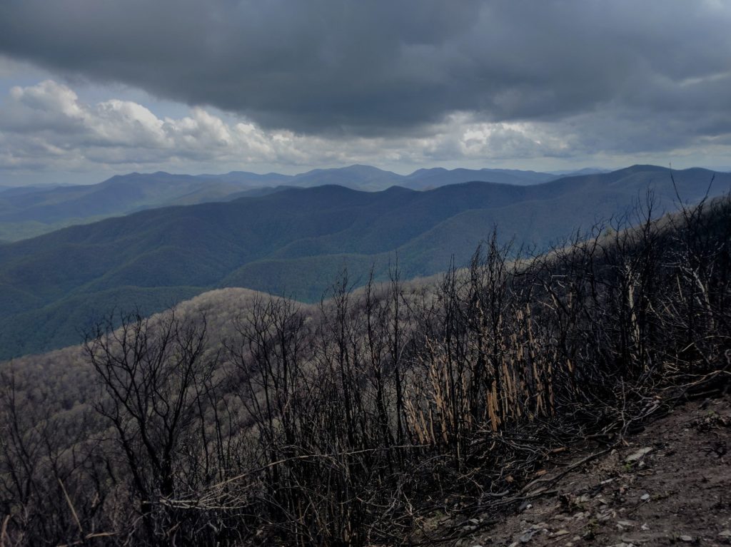
Burned ridgeline across Wesser Bald

The initial descent from Wesser was the most difficult terrain I have encountered thus far, requiring some careful scrambling down slick boulders with severe fall consequences down the ridgeline on either side.

Descending from Wesser in the rain

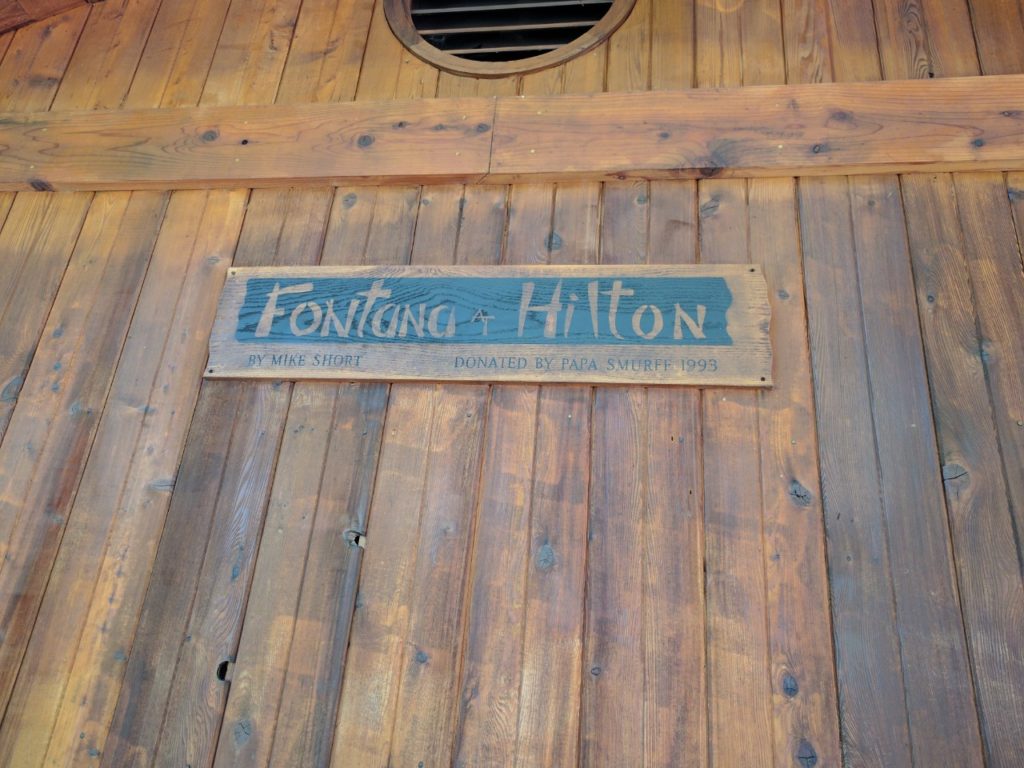
The trail leveled out to a manageable grade for most of the descent. I repeated “head back, chest out!” as a mantra to save my knees. The NOC is a village surrounding the Nantahala River that serves as a basecamp for kayaking and whitewater rafting groups. We enjoyed an amazing dinner (I finished my cheeseburger so fast I never got a picture) and watched kayakers practice in the rapids. At some point, we discussed our next major objective: the Fontana Dam shelter, known as the “Fontana Hilton” because it houses 24 hikers and has free showers and real toilets (so luxurious!!) in an adjacent building.

No caption needed.

Perhaps all the calories went to our heads, because somehow the idea arose that we could hike all 28.3 miles to the Fontana Hilton the next day. Also, I may have  been *ahem* slightly optimistic about the elevation profile. Gonzo and I were apparently the only members of our trail family quite crazy enough to wake up before dawn and attempt this feat. Leaving the NOC entails a 3,000 foot climb up to Cheoah Bald (Mile 144.8).

Nothing like a 3,000-ft climb to start the day! Cheoah Bald

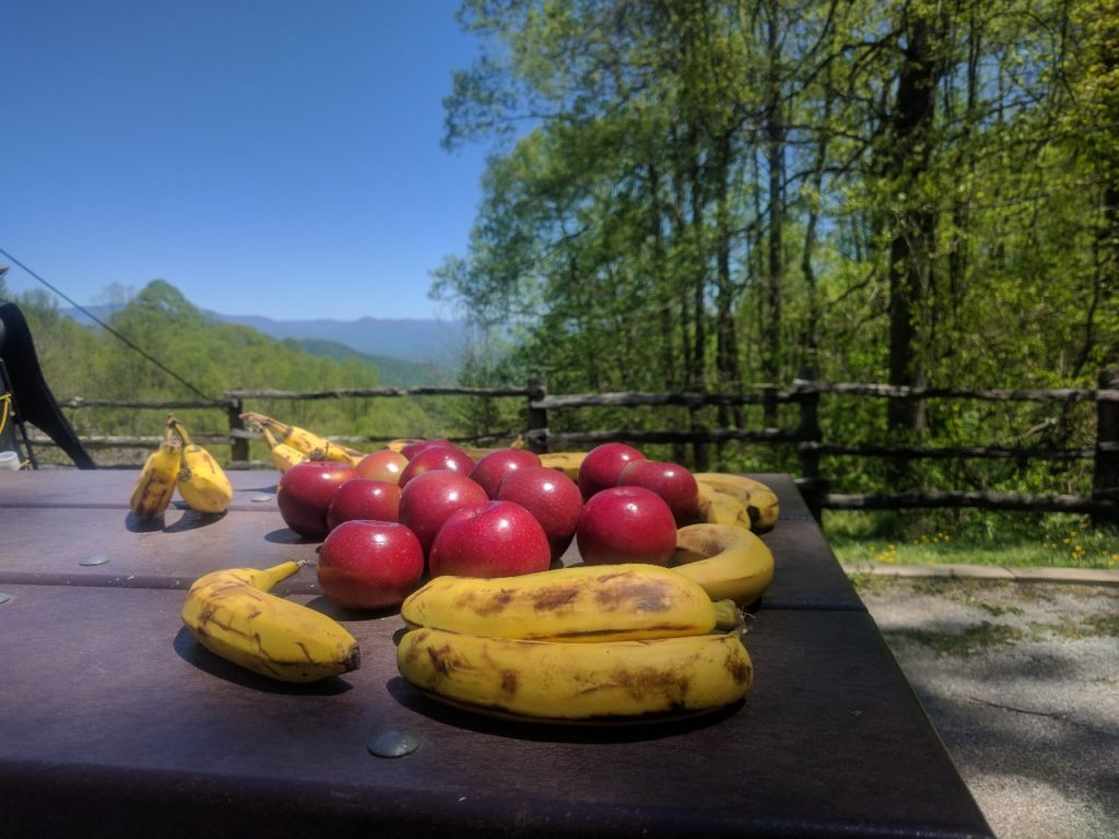
In comparison to this ascent, the remainder of the elevation profile for the day looked like, oh how did I put it at dinner, “practically all downhill from there.” In retrospect, this was not the most accurate description of the three consecutive steep climbs we would encounter. We also had difficulty with unexpectedly dry water sources during this section. Fortunately we found some trail magic in the form of apples and bananas at Stecoah Gap (Mile 150.5).

Trail Magic!

Leaving Stecoah Gap, we began the steepest climb yet. In the heat of the afternoon, with the added complication of recently fallen trees that required us to army crawl, we unwittingly hiked the infamous Jacob’s Ladder (600 ft of gain in 0.6 miles) that I had heard other hikers speak of, but which was not marked in my guide. We survived the climb and finally managed to find water. However, with fading daylight we opted to stop at Cable Gap shelter (Mile 158.9) rather than risk continuing to Fontana by headlamp. Nevertheless, 21.8 miles is the furthest I’ve ever hiked (and frankly kind of crazy over the terrain in that section). I finished the last few miles of descent (head back, chest out!!!) down to Fontana Dam shelter the following morning.

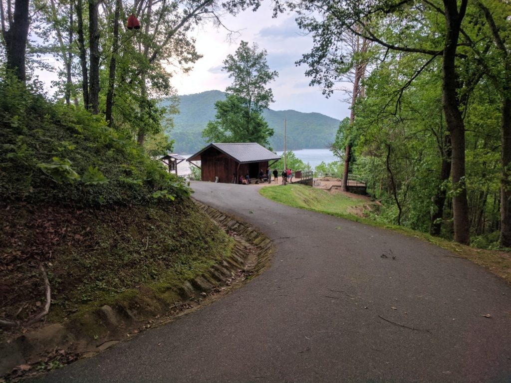
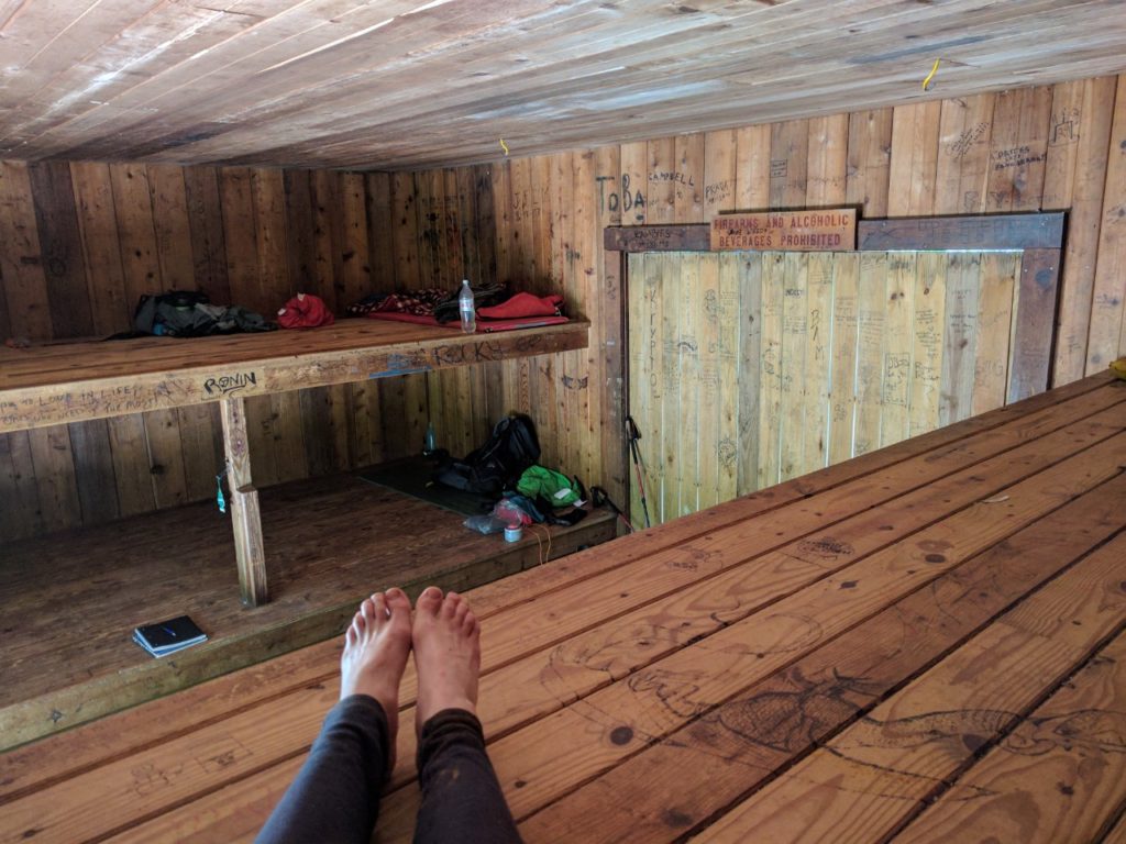
Fontana Dam Shelter

Fancy!

The shelter lived up to its nickname, right down to the legendary indoor plumbing! The few thru-hikers at the shelter were already fretting over the weather forecast. Fontana Dam is the last shelter before entering the Smoky Mountains. The latest forecasts were calling for temperatures in the 30s with rain, snow, and gusting wind up to 70 mph up in the Smokys. Most of the hikers were considering taking one or more “zero days,” staying at the nice shelter to wait out the storms before proceeding back up into the mountains.

Room for 24 hikers in the Fontana Hilton

The shelter is near Fontana Village, a lakeside tourist trap. Shuttles run from a parking lot near the shelter into the village. I caught up with Gonzo and Forrest at the least-overpriced food venue in town: a gas station called The Pit Stop with a small restaurant area. We proceeded to eat absolutely everything on the menu and enjoyed chatting with the locals.

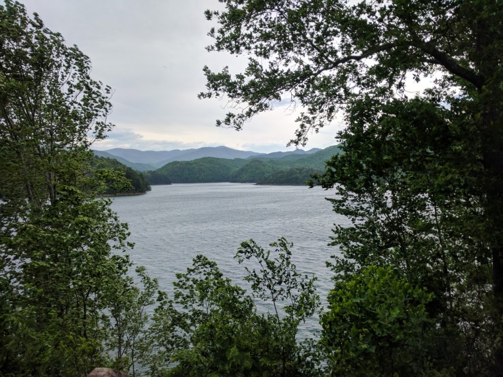
Fontana Lake as viewed from the shelter

Back at the shelter that evening, more and more hikers appeared. Around a bonfire, they debated whether or not to remain at the shelter or continue hiking. My decision was easy: I had planned all along to leave the trail at Fontana. As we all packed into the shelter for the night, the temperature dropped precipitously. Overnight, the storms arrived, blowing down trees across the roads and knocking out power in Fontana Village. I spent the morning huddled in the shelter watching thru-hikers do what they do best when not hiking: eat everything in sight! Fortunately my shuttle (trusty Jim!) was able to navigate the debris-strewn roads and return me to Franklin, where I picked up my rental car and drove to Auburn.

Returning to civilization has been bittersweet. I am sad to leave my trail family. Although I know that I have plenty of days to try to make up the distance, it is difficult to sit still when I know they are likely proceeding on. Watching the weather, I am worried for them. But it has also been great to see my friends and coworkers in Auburn (not to mention all the conveniences of non-trail life)!! My family is visiting for graduation and I am extremely happy to have the chance to see them before I return to the trail again for the long haul on Monday.

Goodbye, Georgia!

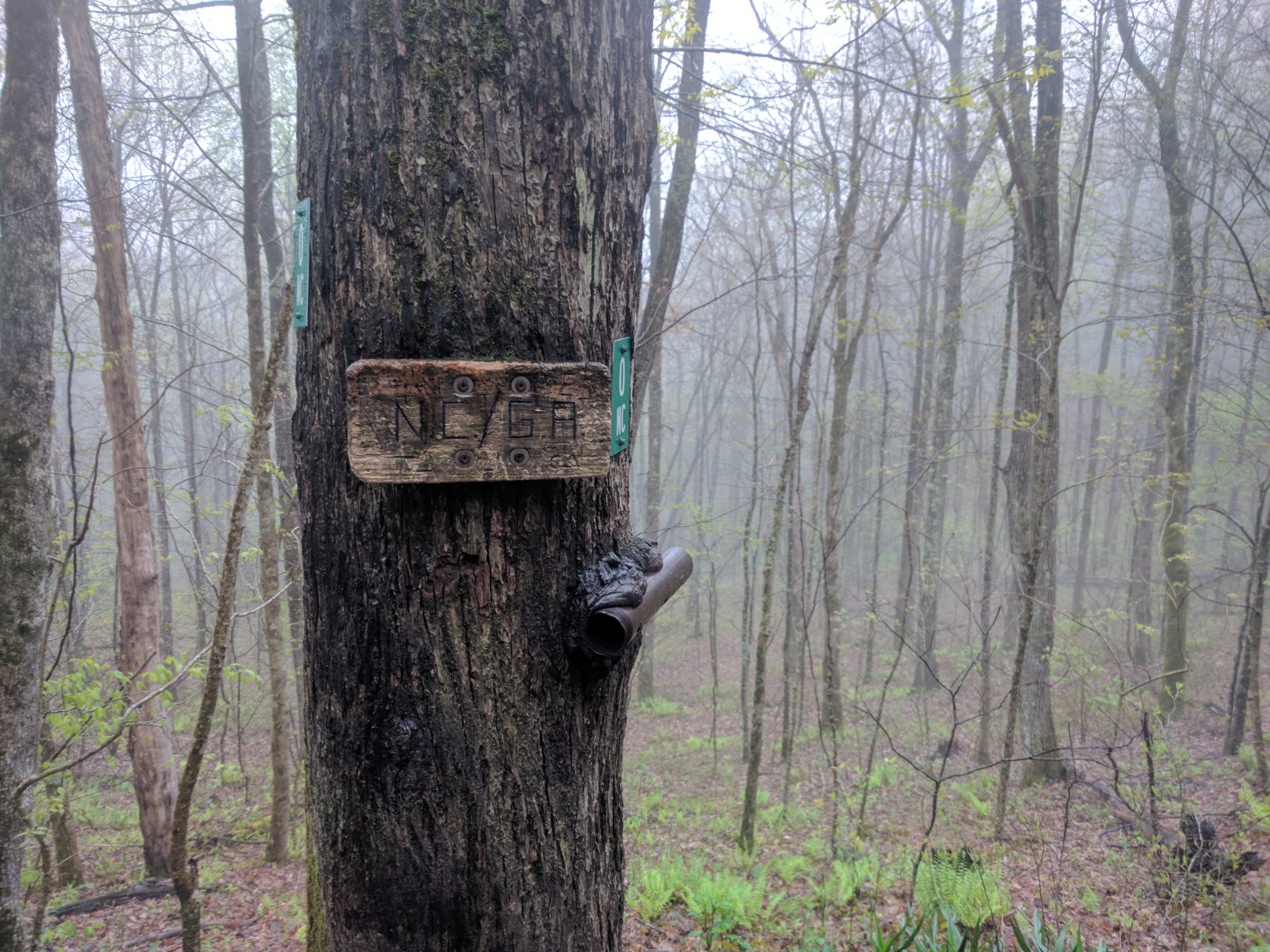
On Thursday morning I left Hiawassee and resumed hiking from Dicks Creek Gap (Mile 69.3). It rained all day, so please forgive me for the lack of photos. I did stop to document the GA/NC border, however:

One state down, thirteen to go!

In the interest of focusing my effort on the path immediately before me, I have been repeatedly reminding myself: just don’t quit in Georgia. Revised mantra: don’t quit in North Carolina. After a soggy and otherwise unremarkable day, I set up camp at Muskrat Creek Shelter (Mile 81.1). The rain ended just before dusk, much to the relief of all the hikers at the shelter.

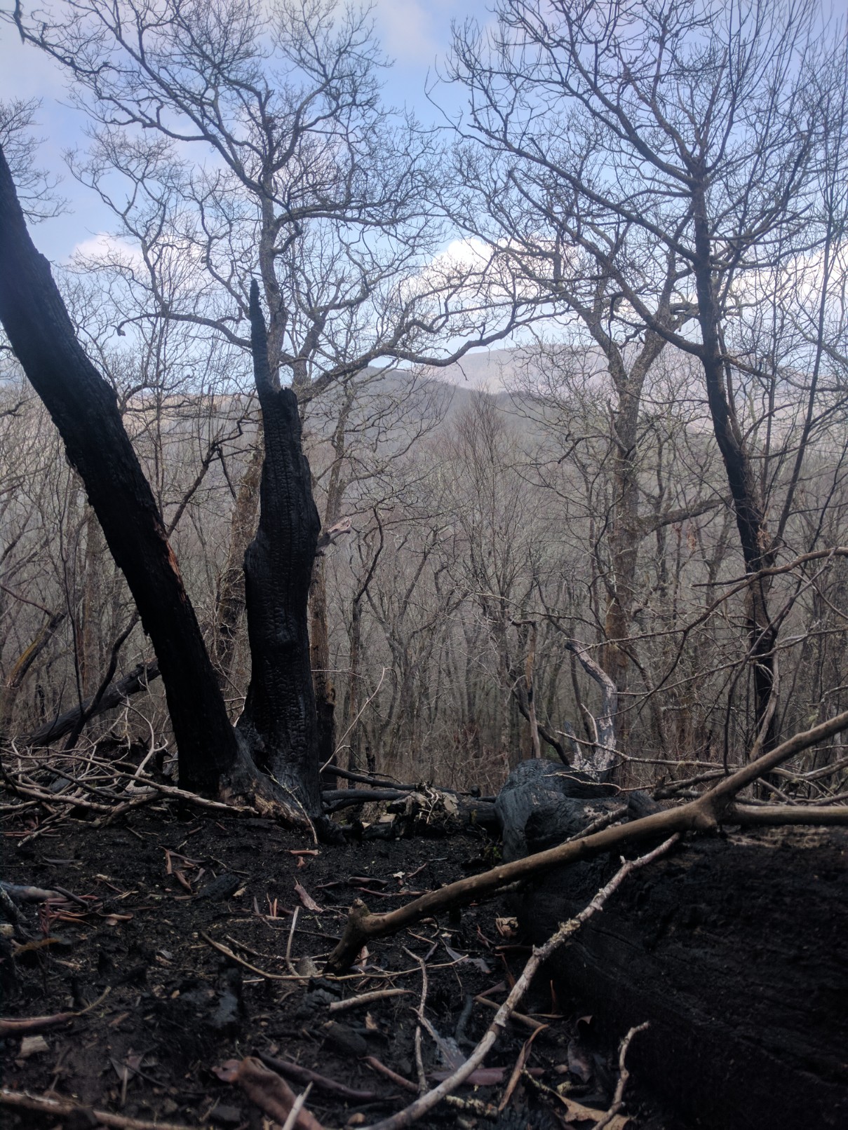
Friday was a gorgeous sunny day, and I opted to take advantage of the weather by hiking a few extra miles to cut down my Saturday mileage into Franklin. This area of the trail passed through several sites affected by wildfires last fall.

Not much in the way of shade.

Friday also brought some really fantastic ridgeline trails over Standing Indian Mountain (Mile 87.6).

Trees are nature’s tripods.

I ended up camping shortly past Betty’s Creek Gap (Mile 97.3). This is the first time I have camped in a creek bottom, rather than on a mountain. Although the ground is more suitable for tenting and the temperature more stable, I disliked how dark it was in the morning! I was hoping to make some progress up Albert Mountain (Elev. 5,213 ft) before dawn, but apparently the creek bottom birds are on a different schedule than the mountaintop birds I usually rely on as an alarm clock.

Nevertheless, the trail up Albert Mountain was beautiful in the early morning. My pace was absolutely abysmal on this climb, not because of the terrain, but because I kept standing awestruck at the views.

Couldn’t walk away from this one for at least 10 minutes.

The top of Albert Mountain (northbound) is a very fun 400-ft rock scramble. I reached the fire tower at the summit (Mile 99.8) to find I had the whole place to myself!!

My favorite view of the AT thus far.

To add further excitement to an already fantastic morning, I also passed mile 100 today!!

Thanks to whoever made this mile-marker; I’d have walked right past it!

The remainder of the day was a series of random hills and gradual descent into Winding Stair Gap (Mile 109.5). Another thru-hiker advised me to call one of the shuttles listed in the AT Guide to get into Franklin for a resupply. Jim, Beverley, and Chuck are long-time residents of the mountain communities near the trail who volunteer their time transporting AT hikers from road-crossings to town and vice-versa.

When Jim arrived to Winding Stair Gap, he offered me a bottle of water and a banana (“potassium!”) and proceeded to inquire about the condition of my feet. He said he’s had to drop several hikers at the clinic in town this week due to foot and joint injuries. As we drove into Franklin, he told me about his career in the armed services and as an engineer for AT&T. He said he doesn’t hike anymore; he’d had enough of that in the army, but he loved the mountains and admired what the hikers were trying to do.

When he dropped me off at my hotel, I asked what I owed him for the ride and he explained that he and the other shuttles didn’t charge fees but did accept donations. This kind of good will towards hikers (“trail magic,” as they say) has been ubiquitous along the AT. The tight-knit community of the trail continues to surprise me and fill me with gratitude every day.

I had hoped to put together a post on my trail diet, but to be honest I’m still kind of figuring that out, myself! I resupplied again in Franklin today, so I’ll have three different diet strategies to compare.  Tomorrow morning I will continue hiking again out of Winding Stair Gap, with the goal of reaching Fontana Dam (Mile 163.9) by Thursday. Have a great week, everyone!!

Greetings from Hiawassee!

Here I am at mile 69.3 of my trek, enjoying the wifi and bountiful grocery stores of Hiawassee, GA. I had intended to wait until my first week on the trail was complete to write a post, but the first few days have been eventful enough to warrant an update. I wish I could adequately describe all the people I’ve met and the experiences I’ve had, even in this short time. To do so in a single blog post would be impossible. So here are the highlights:

After a minor delay due to the vagaries of airline travel, I finally made it to the southern terminus of the AT on Springer Mountain, GA (Mile 0.0).
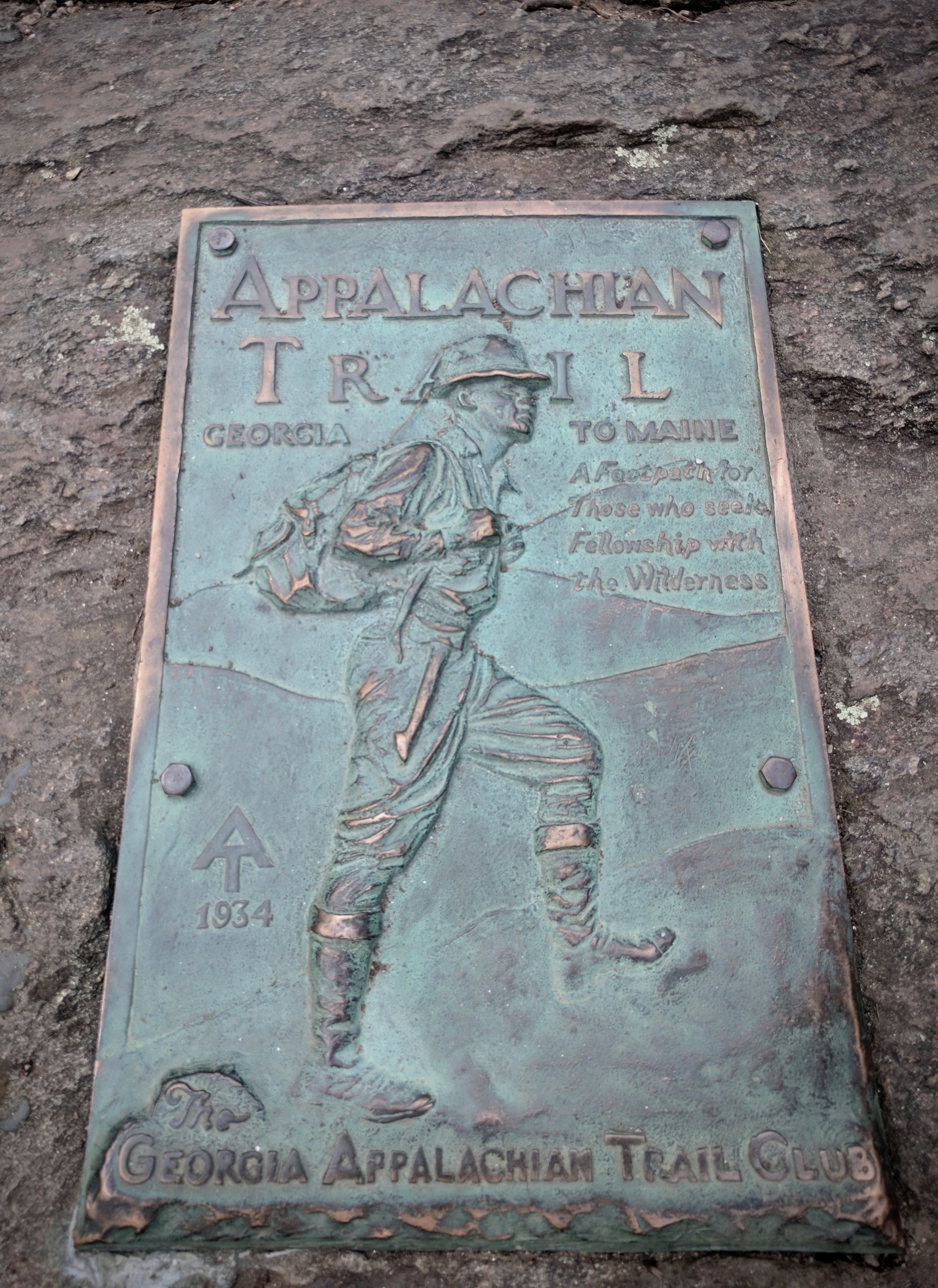
Southern Terminus: Springer Mtn., GA

Because I was already starting after the majority of thru-hikers, I opted to skip the 8 mile approach trail from Amicalola Falls (2,190 miles is plenty, thanks). Instead, I back-tracked 1 mile south from the Springer Mountain trailhead with my friend who graciously dropped me off (and probably regretted agreeing to do so after navigating the treacherous 7 miles of winding dirt road up to Springer). It was unbelievable to finally see that first white blaze. 
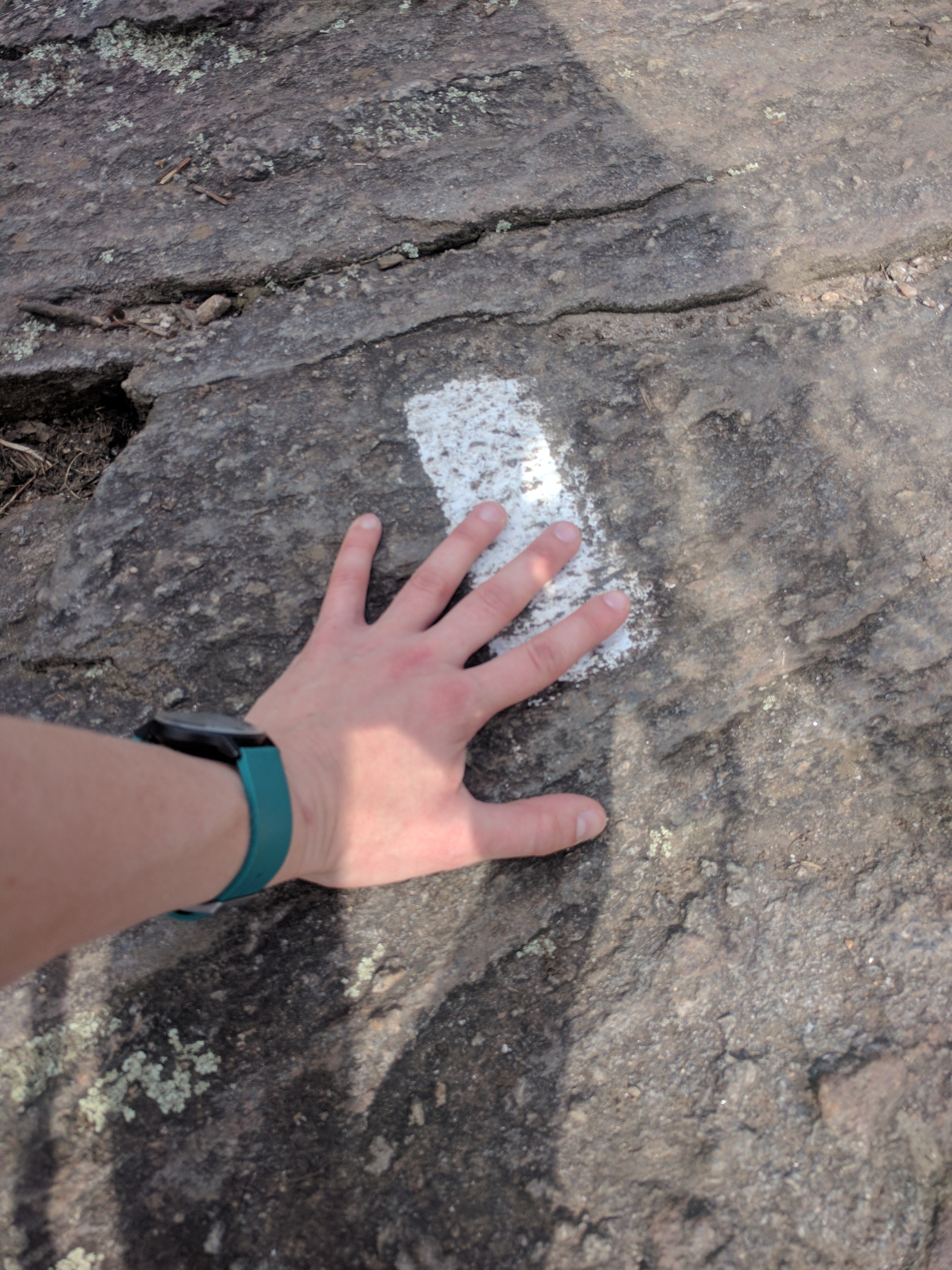
The first white blaze!

We then hiked back out to the trailhead, said our goodbyes, and I headed off into the woods alone at about 5pm. I had enough time to get to the Stover Creek Shelter (Mile 2.8) that evening. The group of hikers already at the shelter seemed to sense my trepidation; having never stayed at a shelter before, I was uncertain of the etiquette involved. They kindly directed me to a suitable tentsite, and I set up camp. In my haste to get to Springer with enough daylight to hike a bit, I forgot to pick up a fuel canister for my stove (fuel of any kind is unwelcome on an airplane, for obvious reasons). Fortunately, instant mashed potatoes will rehydrate just fine in cold water if given enough time. After dinner, I threw my food bag in the bear box and joined the other hikers at the shelter to chat. The majority of them were section hikers, with one other thru hiker from Switzerland. As we talked, light rain began to fall, turning into an unexpected torrential downpour that sent everyone dashing for their tents. I spent a damp first night on the trail, observing the many inadequacies in my tent setup.

The next morning I enjoyed some cold oatmeal (Really. No different than those trendy overnight oats. I swear.) Everyone discussed the daily weather forecast: severe storms followed by a full day of rain. One of the section hikers warned me that shelters fill up quickly on the weekends, especially in bad weather. I left camp early, trying to make up the miles I’d missed due to my late arrival the day before. 
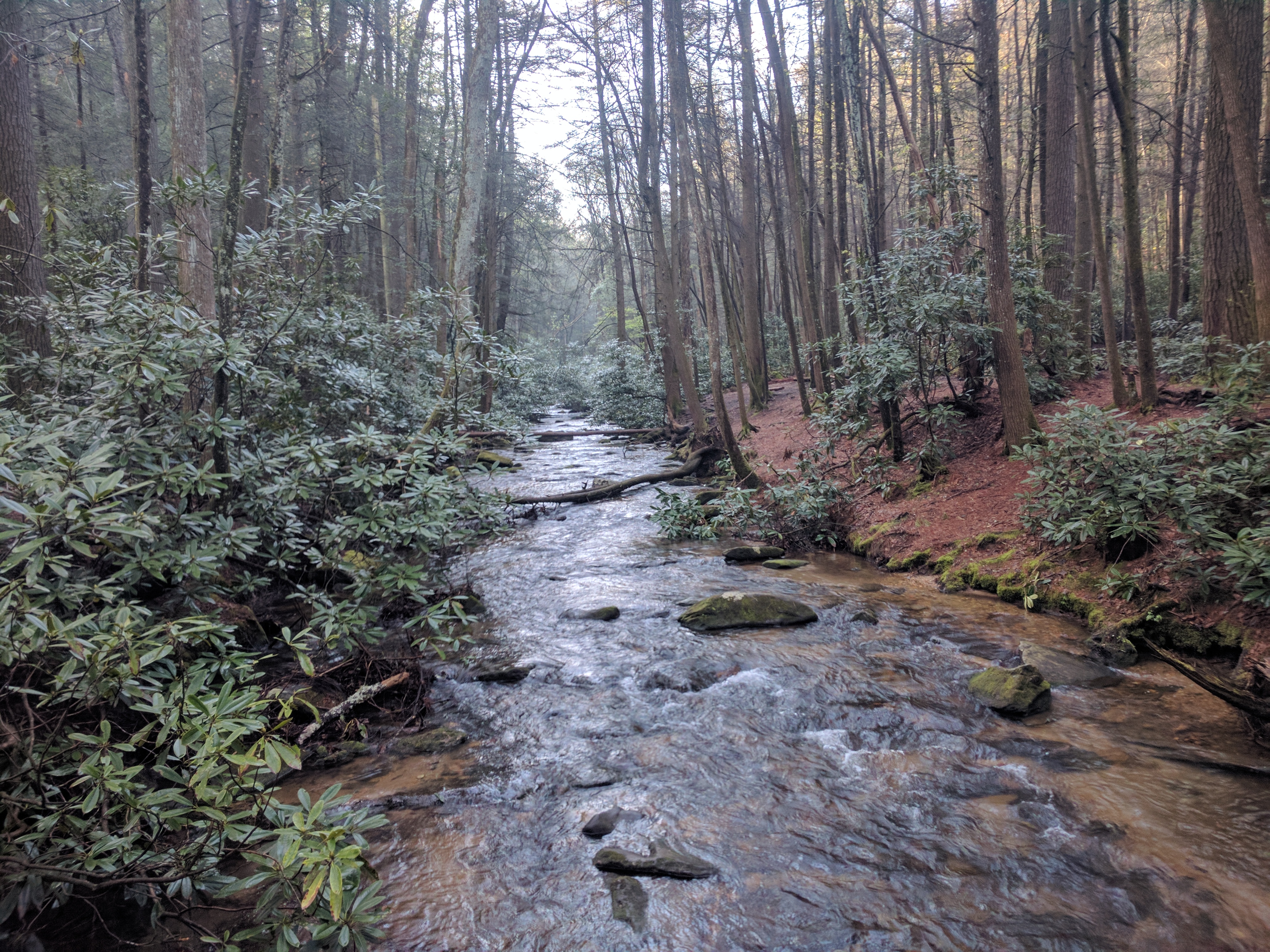
Stover Creek

After a beautiful day of hiking, I arrived at Gooch Mountain Shelter (Mile 15.8) to find almost 30 hikers jockeying for tent and shelter spots. I was fortunate to snag the last spot in the two-floor shelter. This particular shelter was under the supervision of one haggard-looking ridge runner. Ridge runners are volunteers for the Appalachian Trail Conservancy who live at assigned shelters during the peak hiking season in a given area. They coordinate hiker accomodations, enforce trail policies, and educate hikers on leave-no-trace principles. Unfortunately, this ridge runner had the unpleasant job of turning away exhausted hikers coming into the full shelter late in the day, sending them to a tent site a mile further along the trail. Most hikers begrudgingly acquiesced, although some were outright disrespectful. In addition to managing the shelter area, the ridge runner was also warning hikers about a possible norovirus outbreak that had likely originated in the region between this shelter and Neels Gap, where several hikers had fallen ill. He advised us to not only filter, but also to treat our water with iodine or chlorine tablets. I only have a filter. Most backpacking filters will remove particulate matter, bacteria, and protozoa, but not viruses. The best I could do was to avoid collecting water from the suspect sources (in this case, streams near crowded campsites). Fortunately I’m at the far end of the latent window for norovirus now, with no ill effects. Lucky me!!

The ridge runner left to go check on the folks he had sent down the trail to camp. As we cooked dinner (or, rehydrated in my case) and got ready for bed, the sky blackened and gusts of wind began to roar up the mountain, again scattering everyone to their respective tents. Those of us in the shelter packed in like sardines and tried to sleep (including a few people sleeping on the ground and the picnic table under the shelter roof because their hammocks weren’t storm-worthy). This was my first, and hopefully last, night voluntarily sleeping in a shelter. It was fortunate that the storm was so loud, to cover the sounds of people moving restlessly in their sleeping bags, snoring, and other noises that shall remain nameless. We were all awakened in the middle of the night by the sound of rodents gnawing on someone’s pack. Shelter mice are legendarily ravenous, destroying gear in their search for crumbs of food, or even for the salty residue on sweaty pack straps. I vowed to become an expert at storm-proofing my so that I could avoid ever sleeping in a shelter again (except for mandatory areas such as the Smokies, ugh).

I woke up before dawn on the third day, with the goal of reaching the hiker hostel at Neels Gap (Mile 31.4) for a hot shower and food resupply. One of the section hikers at the shelter kindly gave me his half-full fuel canister since he was finishing his hike that afternoon. It continued to rain steadily all day. I had never hiked in the rain for a prolongued period of time before. Everyone has told me that rain gear is useless; that you end up soaked anyways; that as long as you keep moving, it will be fine. These trail aphorisms proved to be true. By mile 5, I had given up on stepping over puddles and began to slog right through. My rain kilt peformed admirably, keeping me relatively dry from waist down. My rain coat, on the other hand, may as well have been a sauna. Perhaps the most difficult part of the day was forcing myself to stop and eat, since I would immediately begin shivering the moment I stopped hiking. Hiking in the rain is not something I would choose to do. But, there were still some pleasant moments from my 15 miles through the rain. 
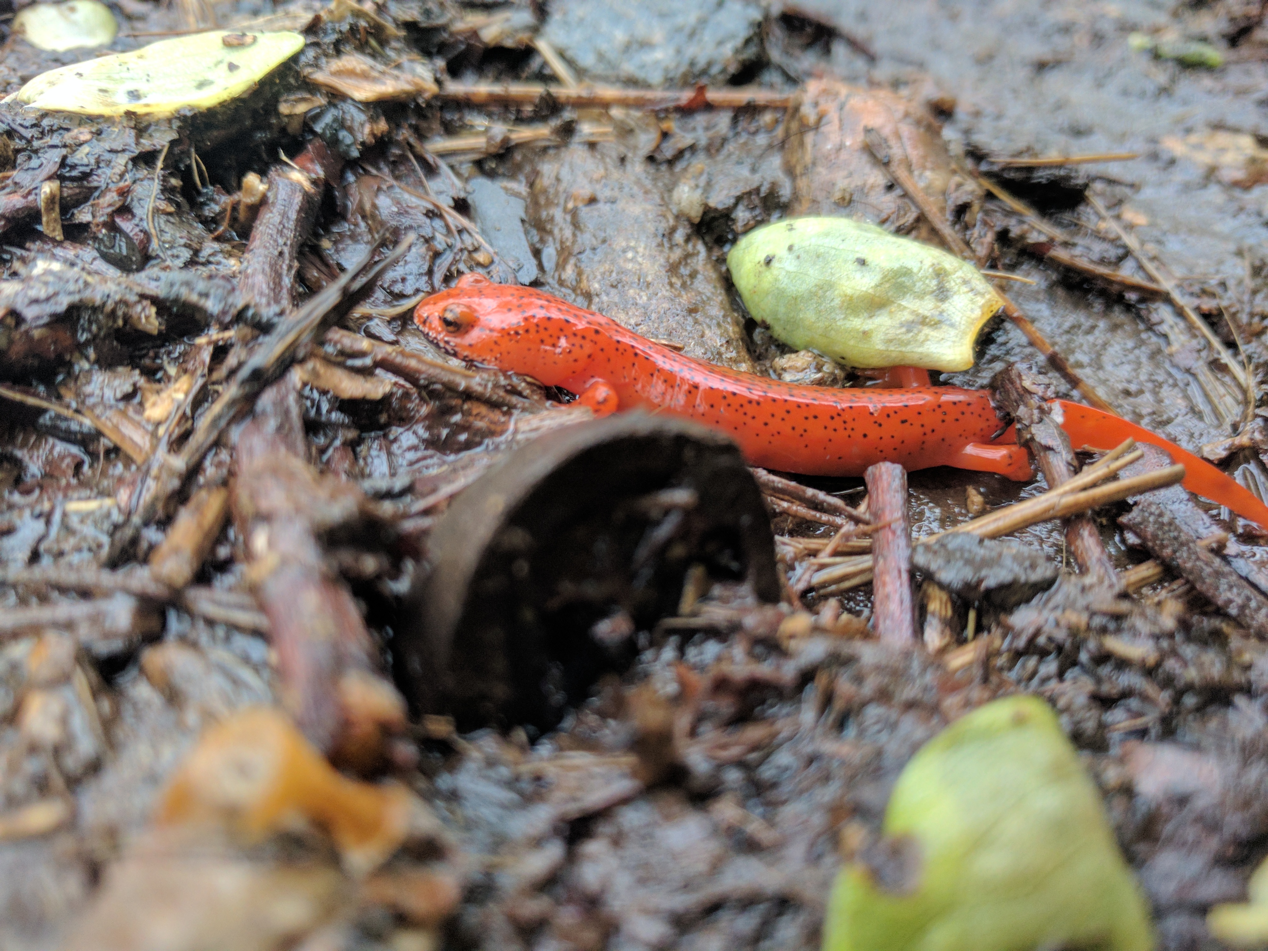
For example, I got to meet this fellow.

Eating a nutter butter with mud-slicked hands, water oozing out of my trail runners with every step, I finally began to feel like a real thru-hiker. In order to get to Neels Gap, I had to traverse Blood Mountain (4,442 ft.), the first formidable climb of the AT. Fortunately, I have hiked Blood Mountain before and knew what to expect. The northbound ascent was predominantly switchbacks, followed by sheer rock balds on the approach to the summit.
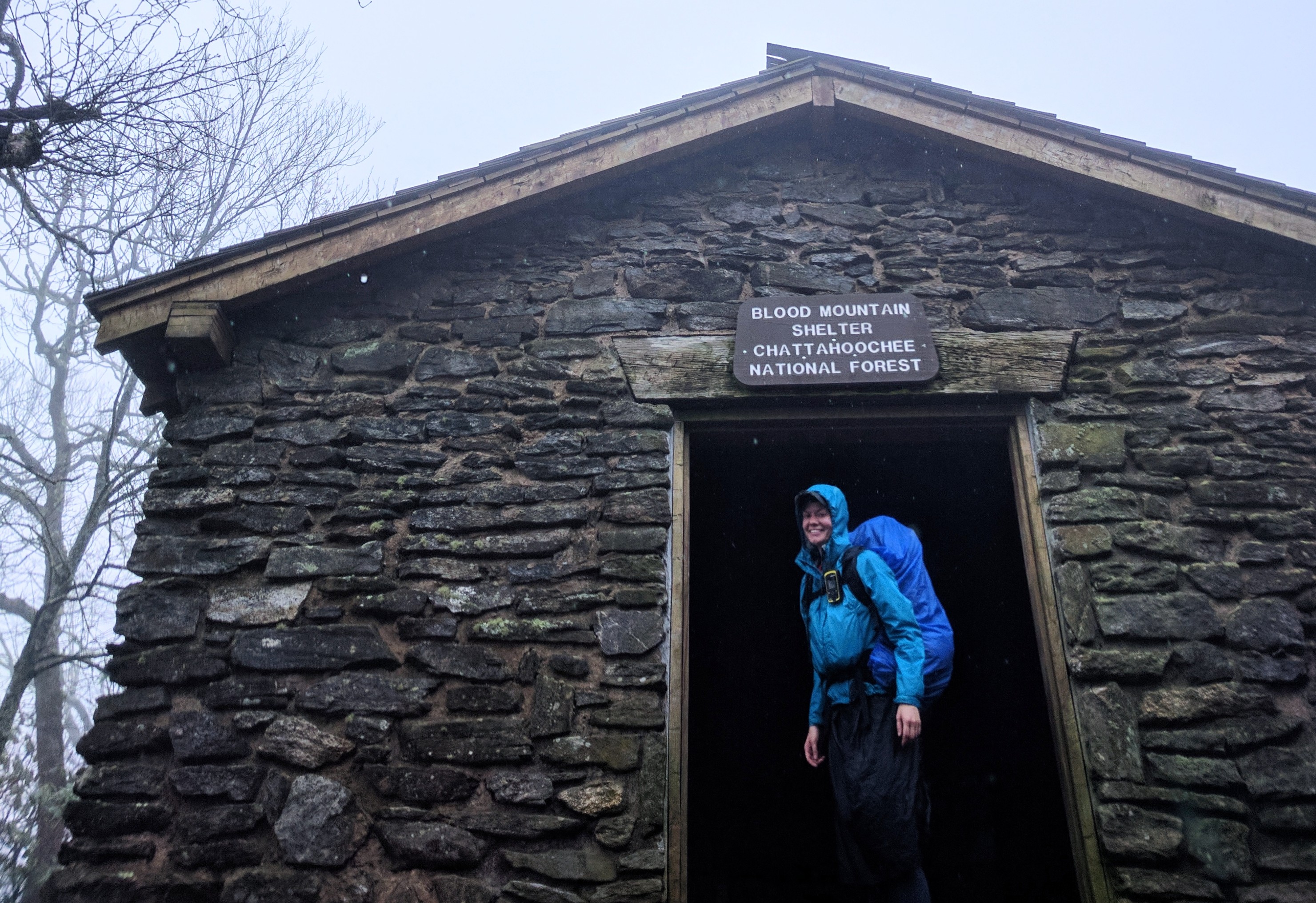
Feeling like a real thru-hiker in the rain

Just as I reached the shelter near the summit, it began to storm. With thunder crashing around me and gusts of wind threatening to topple me backwards on the slick bare rock, I ran-slid-shuffled the fastest half mile I have ever hiked across the summit and down towards the treeline. The trail descending from Blood Mountain is a rock scramble that had turned into a veritable waterfall from all the rain. During my adrenaline-fueled descent, I found myself smiling. Delirious with hypothermia? Perhaps a little bit. But mostly I was proud of myself for having persisted (and even having fun!) through a long arduous day, in spite of the rain.

When I arrived at the base of the mountain, I was excited to encounter the first white blaze that I ever saw during a weekend backpacking trip in 2014. Even in my haste to escape the rain, I couldn’t resist the urge to stop and recall how distant my dream of thru-hiking had seemed back then. And how real and cold and soaked to the skin it was in that moment as I stood transfixed by nostalgia. Sometimes I still can’t believe I’m really doing this. 
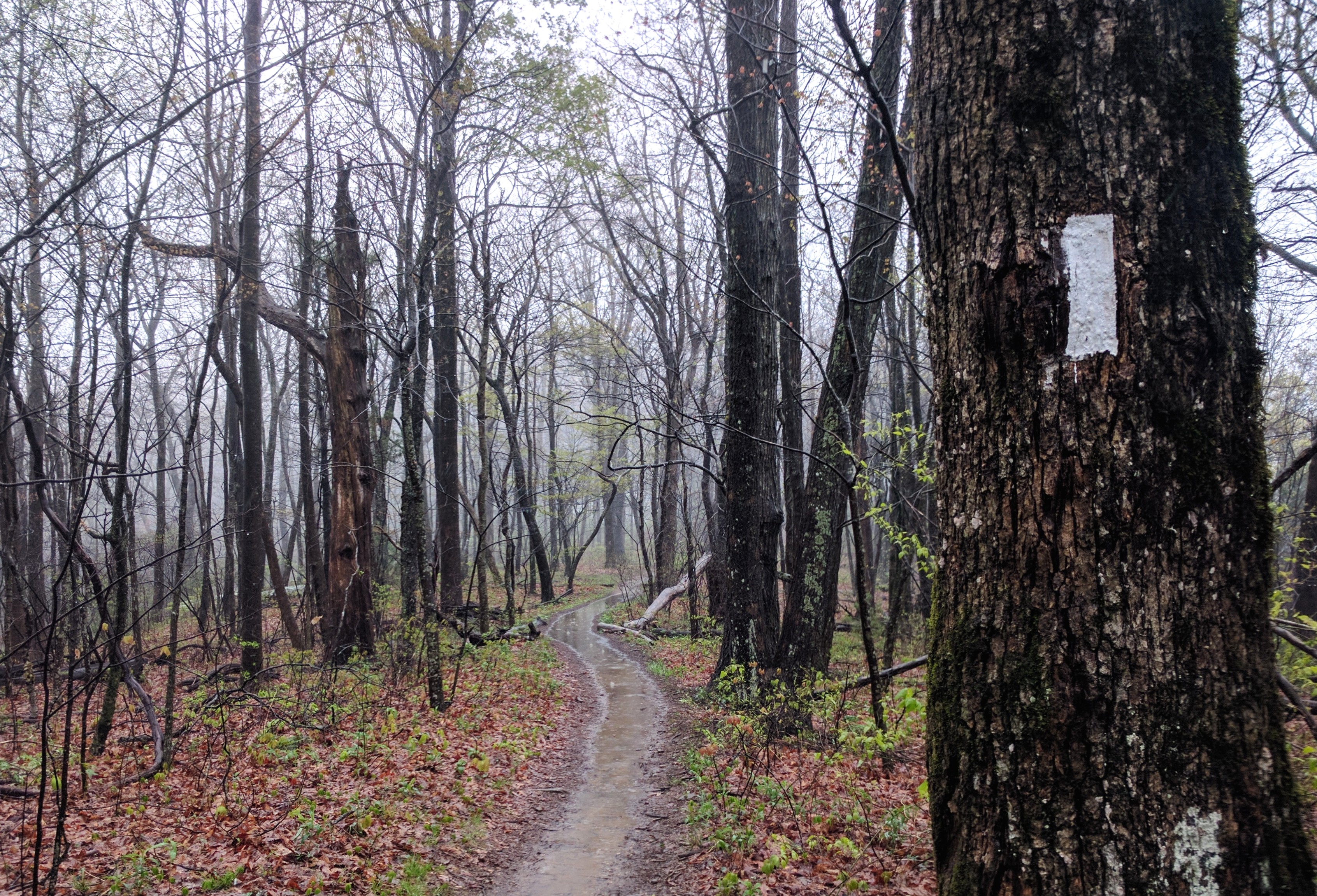
Little did I know in 2014 that I would be seeing this blaze again

By the time I reached Neels Gap, the hostel at Mountain Crossings was already full. However, I was able to find a few other soggy hikers willing to split the cost of staying at Blood Mountain Cabins down the road. Split between four people, these cabins cost the same as a stay in the hostel, and they provide laundry service which the hostel does not. I would highly recommend it over the hostel.

With clean clothes and dry gear, I set out in light rain the following morning. I stopped at Mountain Crossings outfitters to pilfer the hiker boxes (donated food and gear from hikers carrying too much weight or ending their hike) for food. 
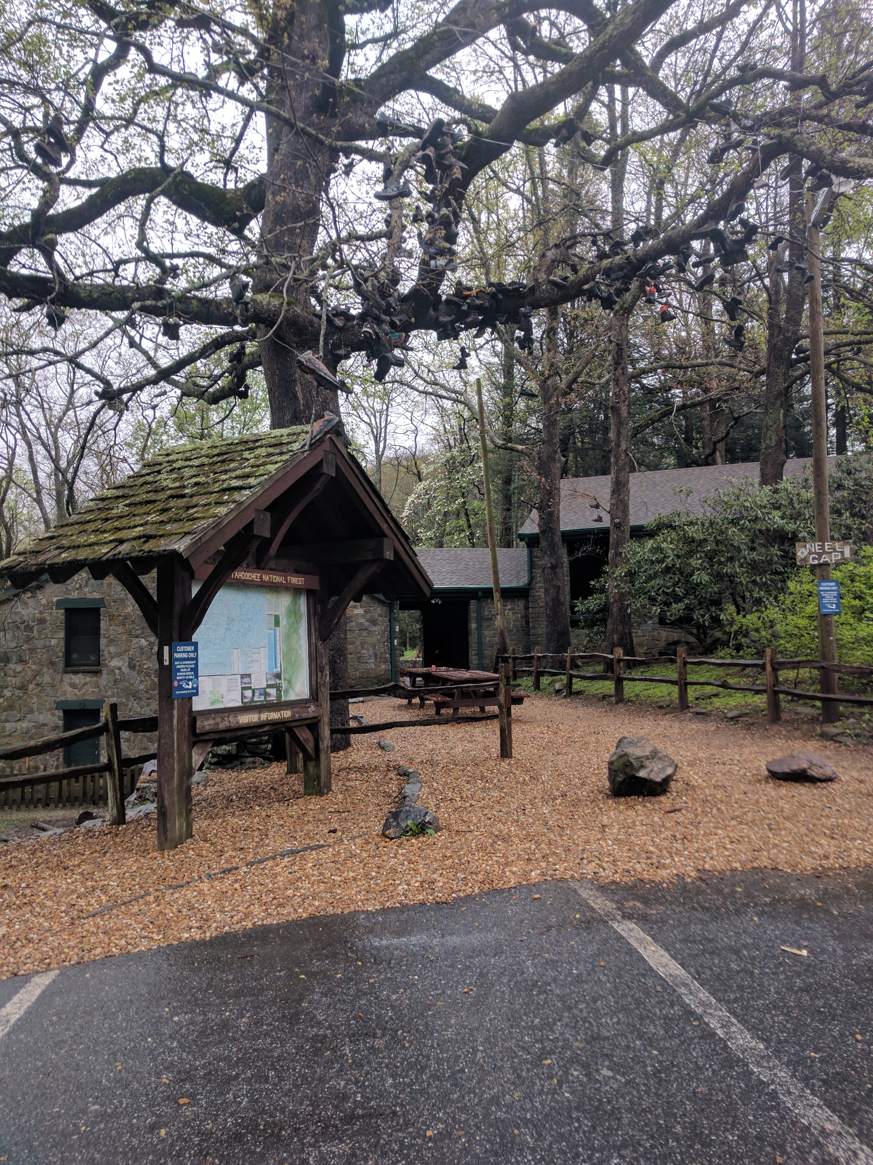
The infamous shoe tree at Mountain Crossings, decorated with the footwear of the many thru-hikers who quit here

The clouds finally began to clear as I reached Cowrock Mountain for lunch. The remainder of the hike to Low Gap Shelter (Mile 42.9) was relatively uneventful. I did get to enjoy my first hot meal, which was a geat morale booster ater a cool damp day. 
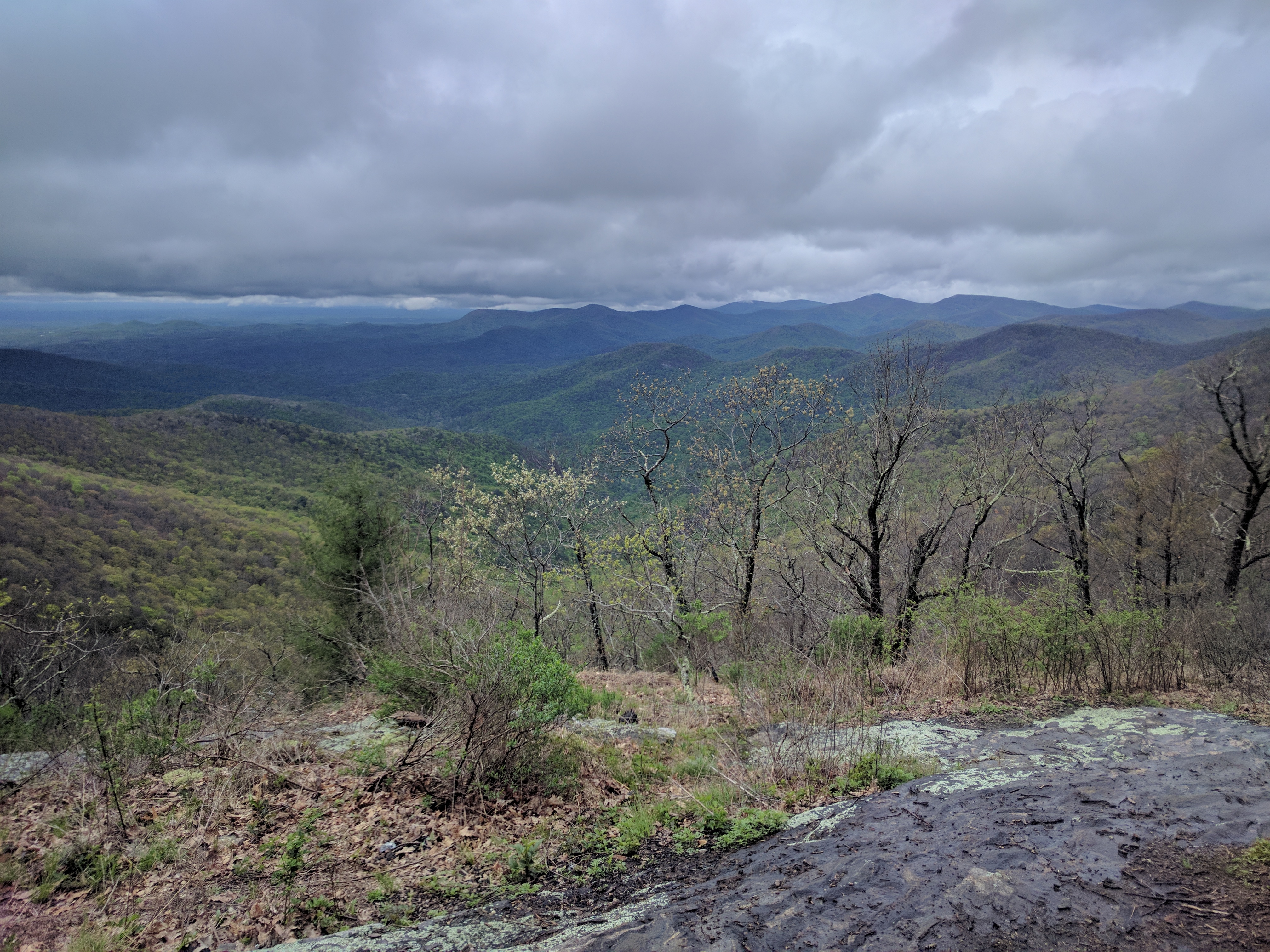
Clouds finally clearing off Cowrock Mountain
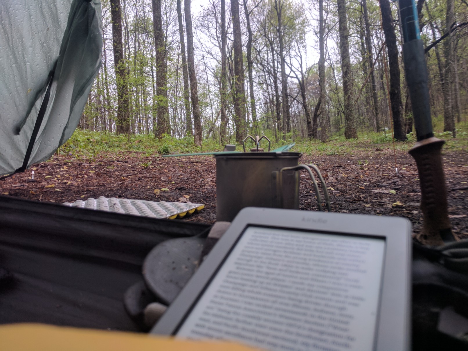
Reading in my tent while my dinner cools down. Cooked in the vestibule to avoid the rain.

It rained off and on throughout the night at Low Gap, and I awoke surrounded by dense fog. I again left camp around dawn with expectations of a high mileage day to Tray Mountain Shelter (Mile 58.3). The previous day, I had felt absolutely beaten down by a mere 10.8 miles. I was not feeling optimistic about the 4,669 feet of elevation gain on the docket for the day, with Blue Mtn., Rocky Mtn., and Tray Mtn. back-to-back. But, the fog cleared away and the sun came out. I kept putting one foot in front of the other. And before I knew it I was cruising along, crushing climbs, and enjoying the many beautiful views. Finally, my hiker legs had arrived!!
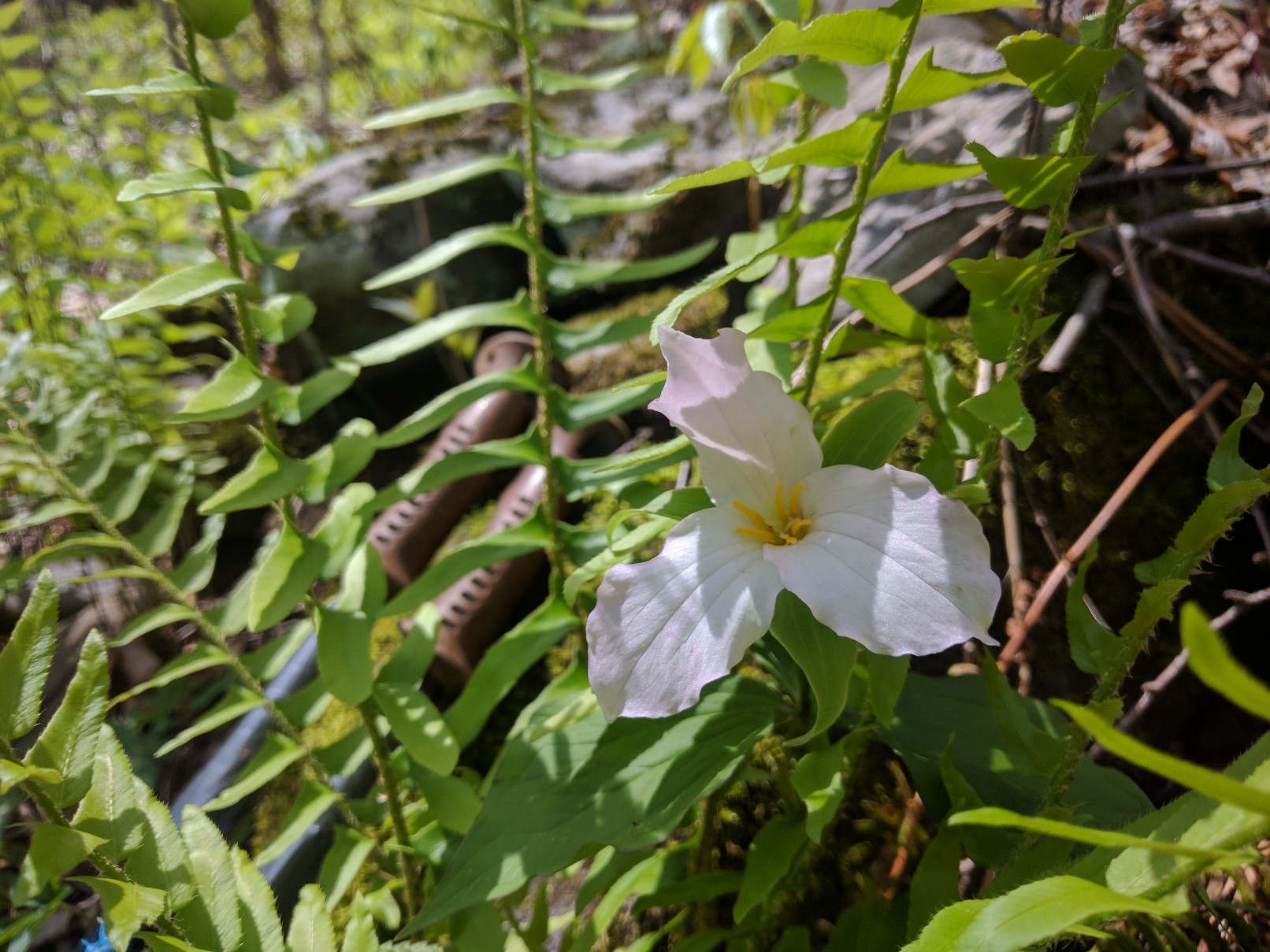
Wildflowers in full bloom along the trail in GA
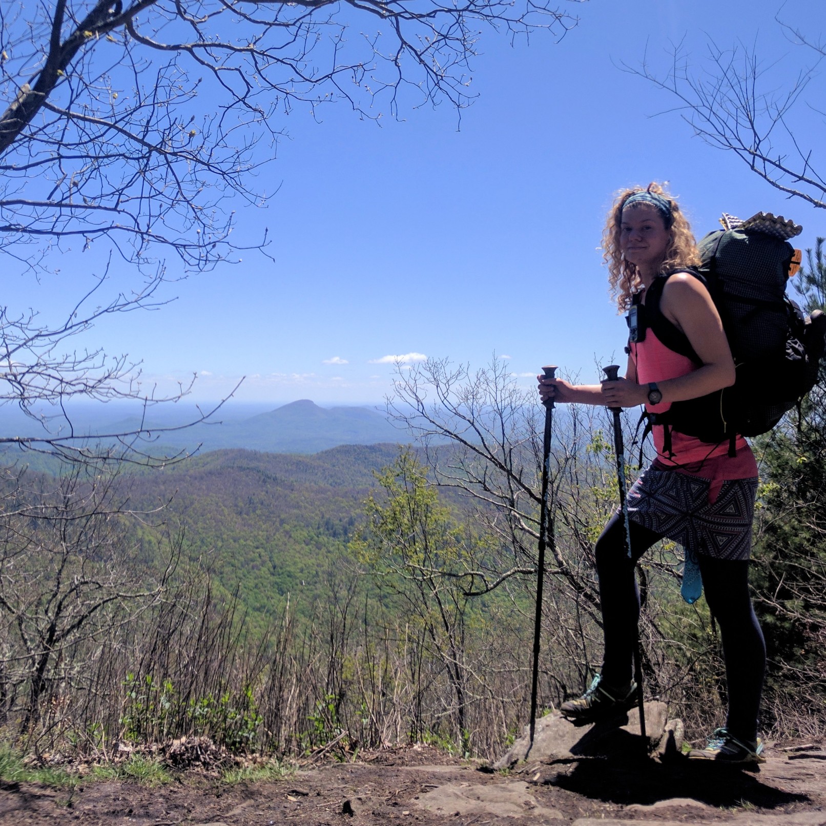
Starting to look a bit feral on Rocky Mtn.
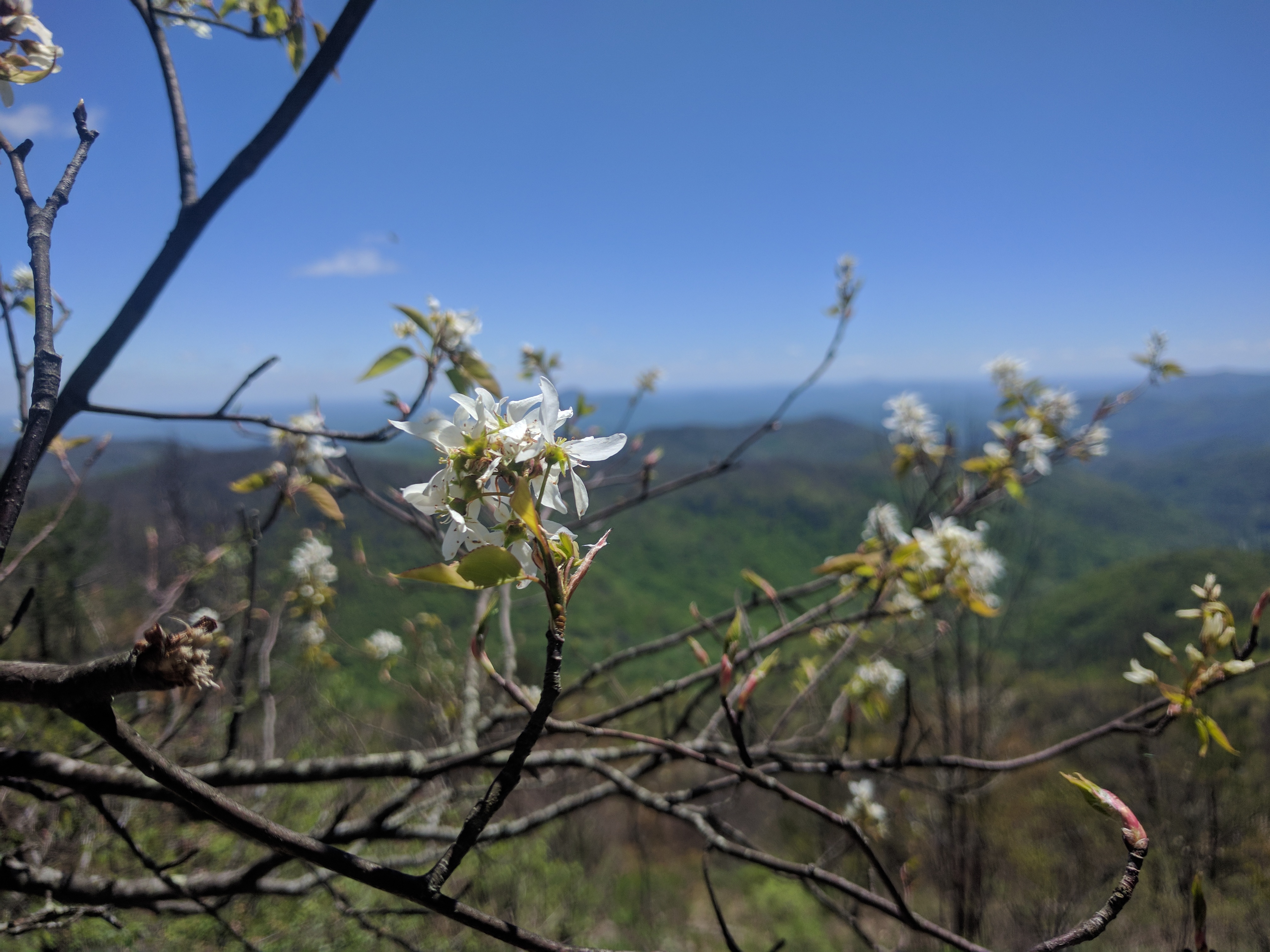
View from Rocky Mtn.
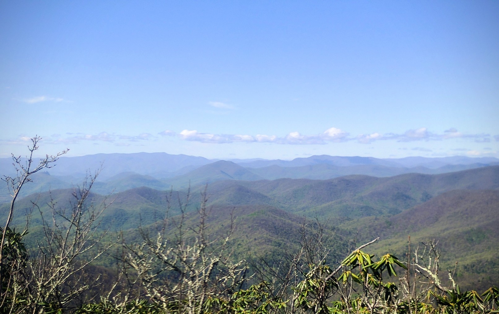
View from Tray Mtn. Summit
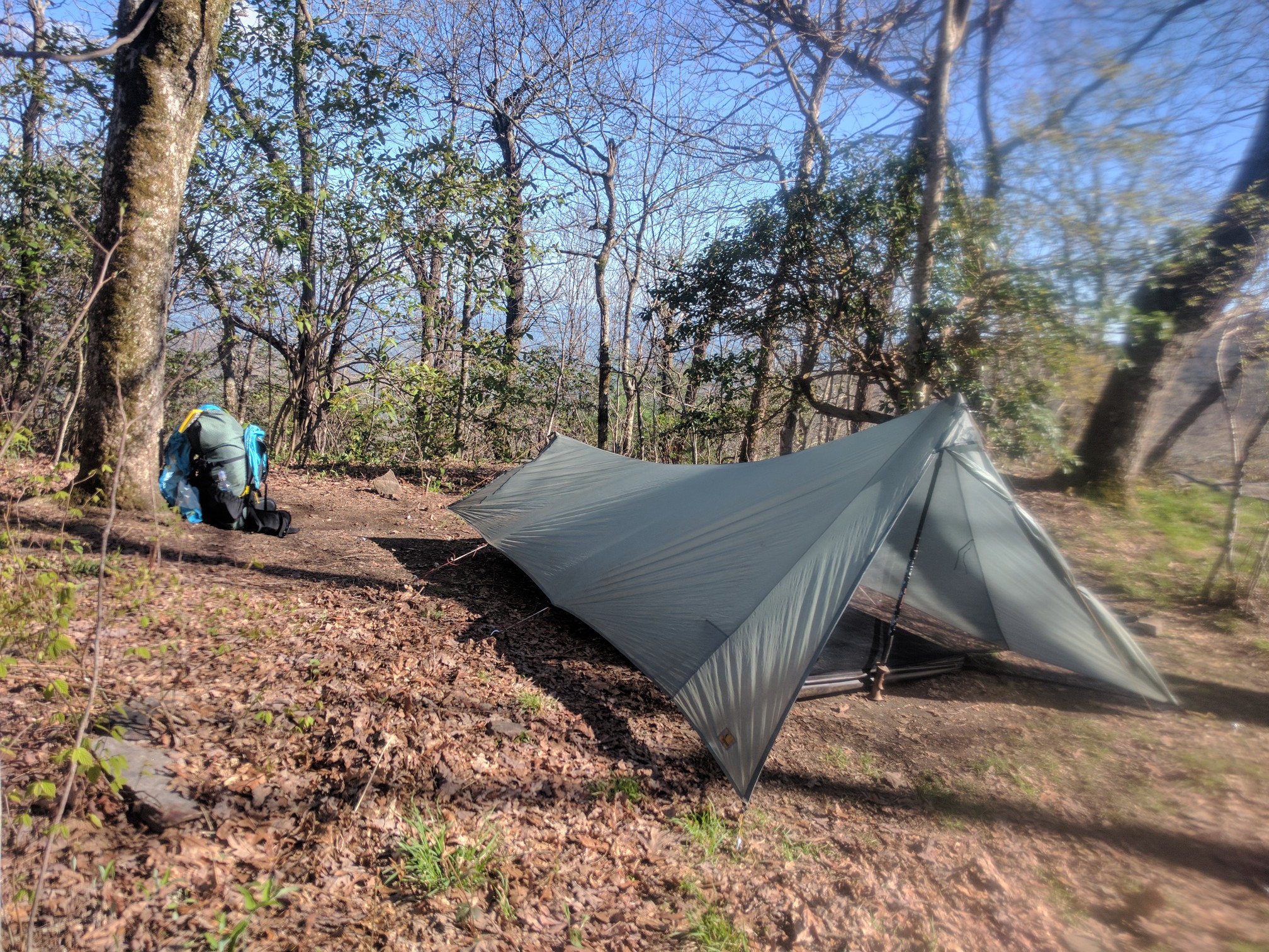
Getting better at pitching the tarptent every day!

This morning, I woke up to watch the sunrise from my campsite on Tray Mountain. As the many of the other thru-hikers left the shelter in the pre-dawn light, I indulged in some cliff-top sunrise yoga. I felt like the most fortunate person in the world. The previous day had been my best on the trail yet, despite the miles and the rugged climbs. I enjoyed taking my time and stopping to admire my surroundings. I am also extremely protective of my knees on descents and observe a mandatory pack-off shoes-off break in the middle of the day. This makes me slow, but seems to have saved me some aches and pains. Although I primarily hike alone, I have been meeting the same group of thru-hikers at each shelter. I realized this morning that I was at risk of getting caught up in the hurry-and-worry mentality of some of the younger speed-demons in my group. I decided that I would rather take my time and enjoy my hike than risk injury in some imagined race to Katahdin. I’ve been following a rough schedule that slowly increases mileage. I know I will get there if I stick to my schedule; I just need to resist the pressure to follow the herd as they push for higher mileage days. Georgia is too beautiful (and too steep!) to rush through.
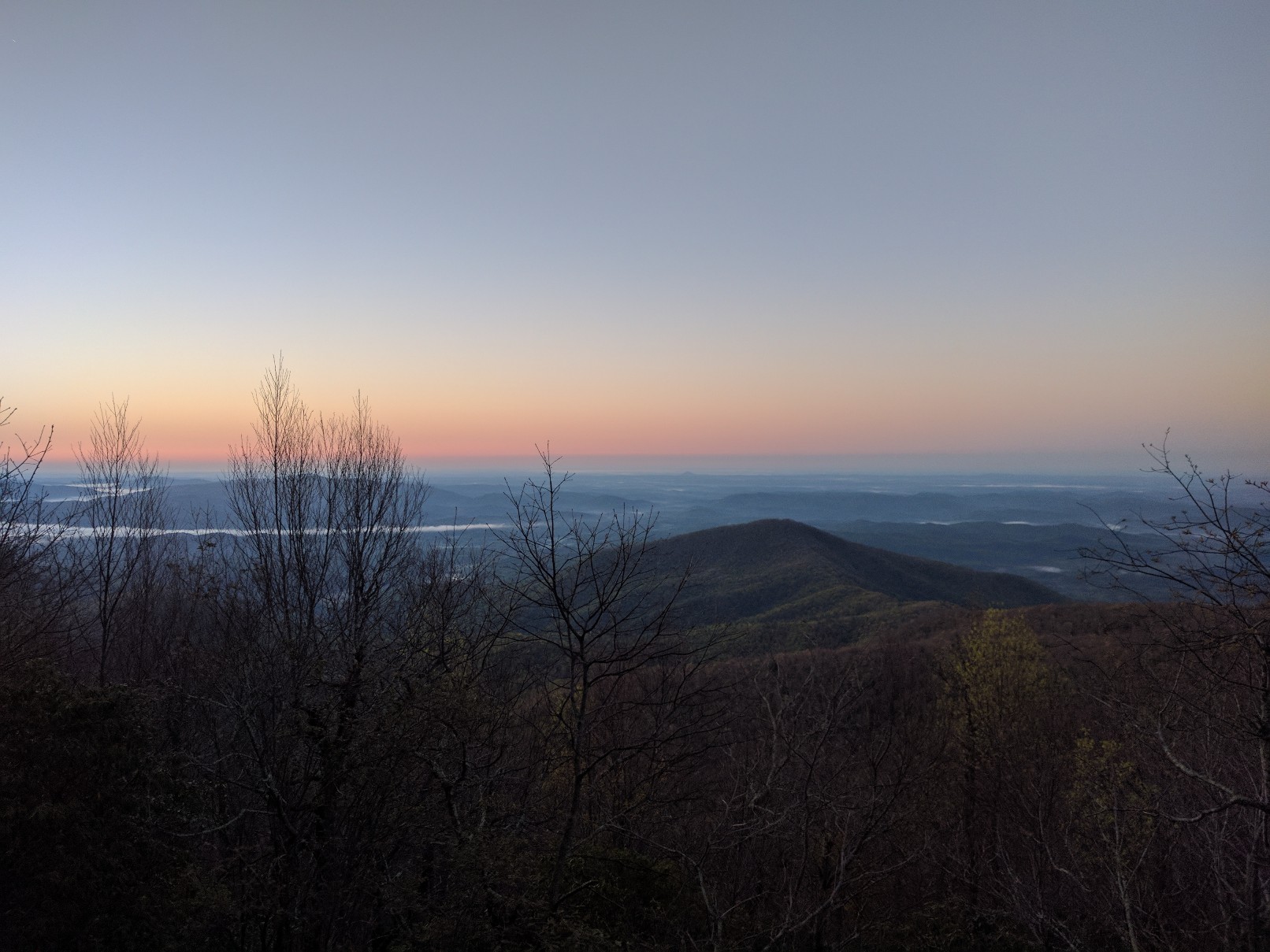
Sunrise from the cliffs near Tray Mtn. Shelter
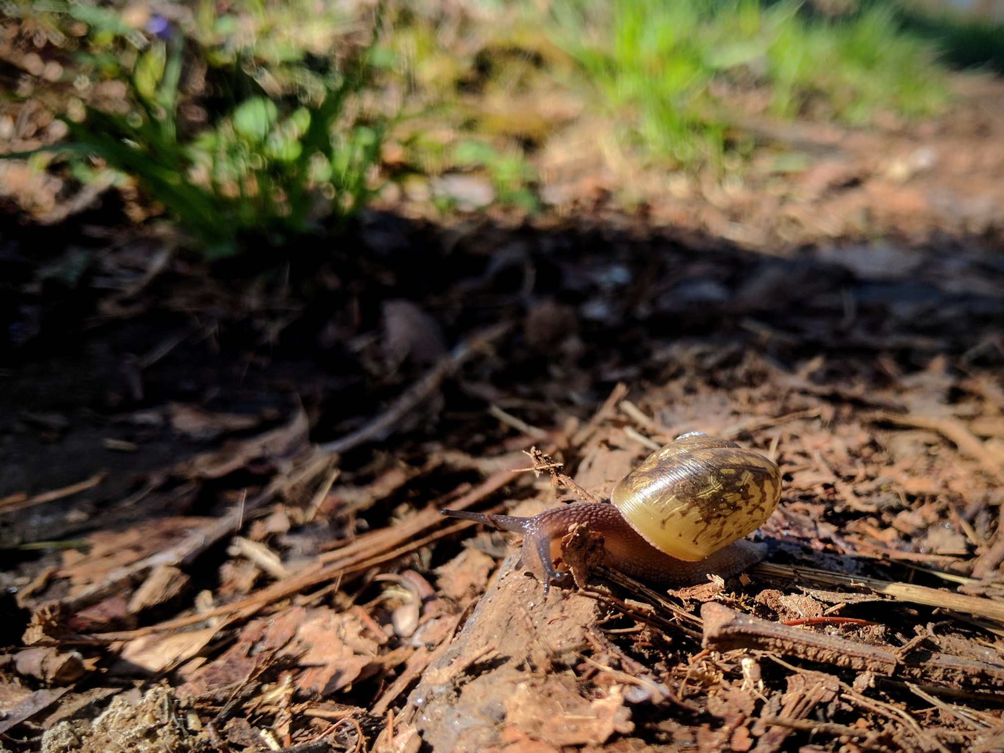
Slow and steady is the way to go.

Today was an easy 11.0 miles down to Dick’s Creek Gap (Mile 69.3) where I caught a shuttle into Hiawassee for my first resupply. I’m headed back out on the trail tomorrow morning. I should cross into North Carolina (Mile 78.2) tomorrow!! My next resupply is in Franklin, NC on Saturday. Hopefully I will have a slightly more concise trail update as well as a post about trail food by then!