Ok, I’m terribly behind on blogging but I have a one word explanation for you: norovirus. Enough said.
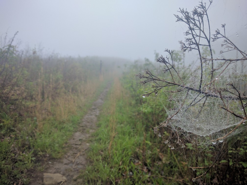
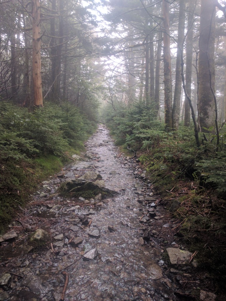
Contrary to what my last post would seem to indicate, I didn’t magically teleport from Standing Bear to Hot Springs. I left the hostel (Mile 240.3) in the pouring rain to undertake a legendarily onerous climb up to Snowbird Peak (4,259 ft). The rain and dense fog made that climb seem even more like an unending steep treadmill of mud.
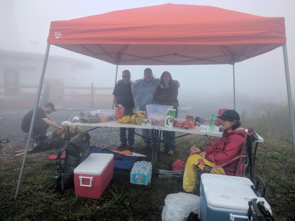
Not my favorite miles, to be sure. Surprisingly, I was greeted by a group performing Trail Magic at the very top. Nothing lifts a hiker’s spirits like free food, drinks, first aid, and even lawn chairs to take a break in!!
Thanks again to the awesome crew from Snowbird. You guys really made my day with those doughnuts!
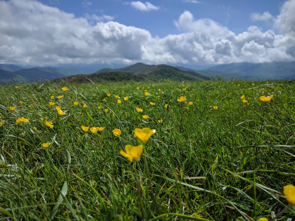
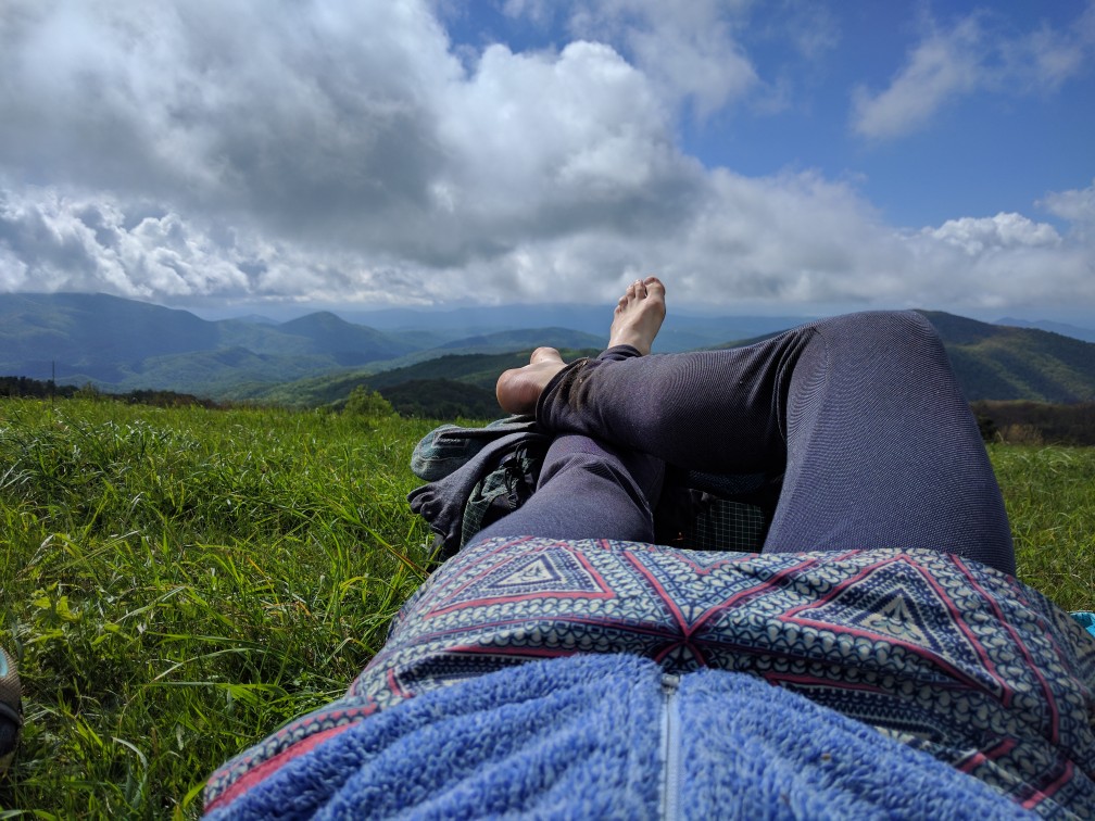
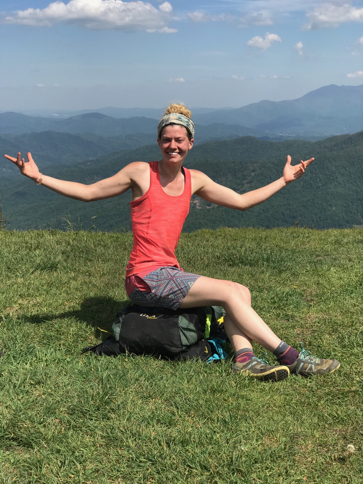
The rain finally cleared just as I was heading up Max Patch (Mile 253.6), one of the most popular scenic balds on the AT. I challenge anyone to resist the urge to belt out, “The Sound of Music” up there. I certainly couldn’t.
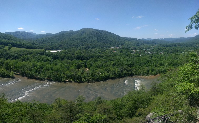
After tearing myself away from the beautiful views, I descended to Roaring Fork Shelter (Mile 255.5) for the night. The next morning was a long descent into the reknowned AT hiker town of Hot Springs, NC (Mile 273.4). As I walked past the first hostel at the edge of town, lo and behold, there was my trail family that I lost at the Fontana Dam when I left for graduation!! They had encountered horrendous weather through the Smokys and had fallen peril to the “Town Vortex” for two days, enabling me to catch up (or that’s their excuse, anyways).
Determined not to get trapped in the incredibly hiker-friendly and notoriously difficult to leave town, I vowed to only stay the night. We managed to leave the following afternoon and climb to Spring Mountain Shelter (Mile 284.4).
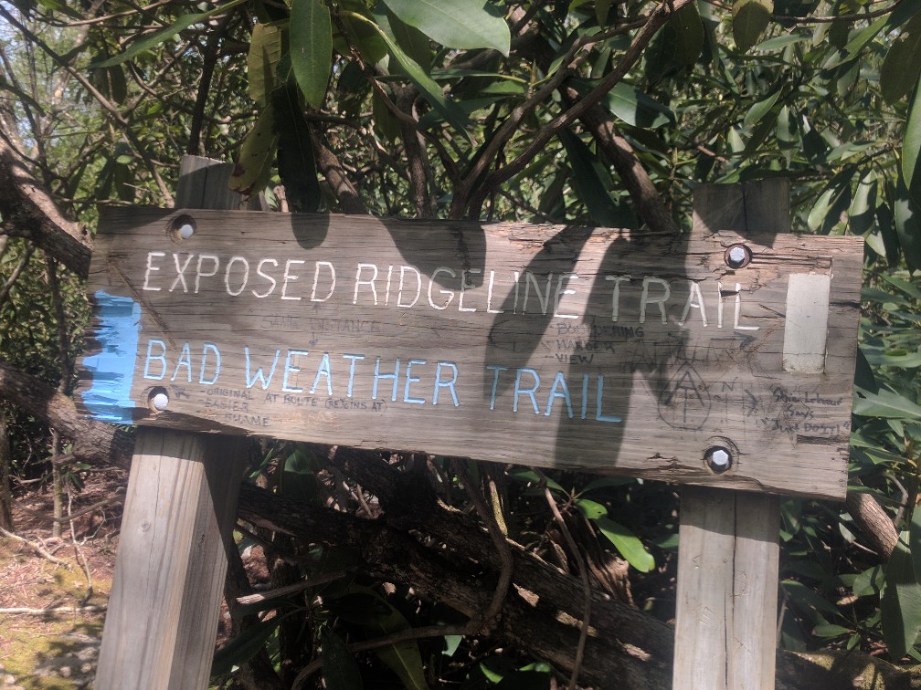
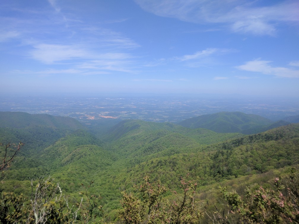
The highlight of the following day’s hike was the traverse of a long exposed ridgeline to Big Firescald Knob (4,531 ft).
We made such good time over the ridgeline, we decided to continue past our original objective for the day to Flint Mountain Shelter (Mile 307). A new record: 22.6 miles!
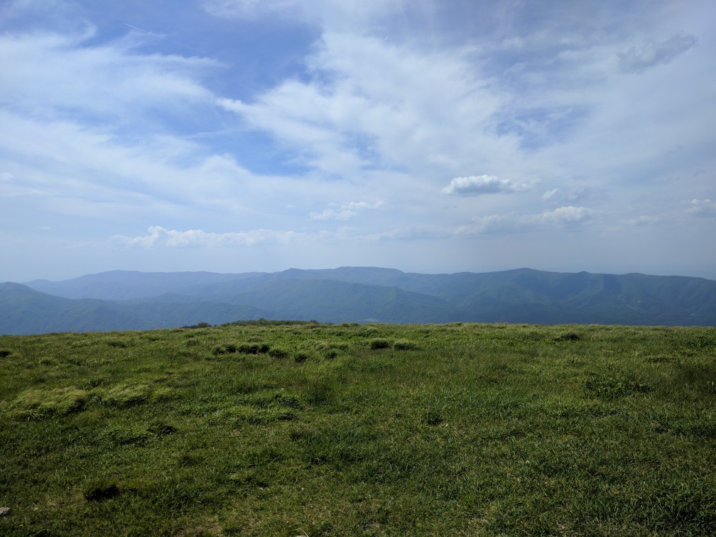
Leaving early for another high mileage day, we walked the TN/NC border to the base of Big Bald (Mile 324.6). This was the toughest, but most rewarding, climb I’ve made to date. We somehow completed it in a single sustained effort, thanks largely to Gonzo’s insane “we don’t stop on hills” ethos. The reward was a magnificent 360 degree view that my phone camera cannot even begin to capture.
After conquering Big Bald (and lazily enjoying the spoils of our victory for a while), we hustled down to Bald Mountain Shelter (Mile 325.9), ate dinner, and decided to make it another 22-mile day by pushing on to the tentsite at Whistling Gap (Mile 329.3). It was probably the best day I’ve had on the AT yet… or it was. Until I spent the night vomiting uncontrollably out the door of my tent. Yeah, you forgot about that norovirus bit didn’t you?
The next day was spent making my way groggily down out of the mountains to the thankfully nearby (well… only 13.5 miles) Erwin, TN (Mile 342.7). I will spare you the details of my journey except to say that norovirus and hiking do not go well together. I spent a zero day convalescing in Erwin while my trail family joined the many other hikers convening at Trail Days, a weekend-long AT festival held in Damascus, VA. I’m sad to have missed the fun, but thankful to have made a full recovery.
Leaving Erwin, the trail climbs Unaka Mountain (Mile 356.2). I camped near Cherry Gap Shelter (Mile 359.8) and was awakened by a thunderstorm in the middle of the night. It continued to rain off and on throughout the following day, but nothing too intolerable. As I made my way up Roan Mountain at the end of the day, however, I got caught in a sudden downpour that turned the trail into an ankle-deep stream.
As I slowed down to navigate the poor footing (and also having lost a shoe to the mud on more than one occasion), the wind-whipped rain completely soaked me through my rain gear. Roan Mountain is part of the Roan Highlands, known for its consistently cold environment and the rare plants and animals that thrive there. However, I found this climatological oddity to be much less fascinating than I ordinarily would have, given that I was quite clearly at risk of becoming hypothermic. I had already mailed my winter gear home from Hot Springs and had nothing but my down jacket and sleeping bag in my pack, both of which would be rendered useless if they became wet. Note to any aspiring thru-hikers: Everyone says you can mail your winter gear home after the Smokys. DON’T. Keep it through the Roan Highlands.
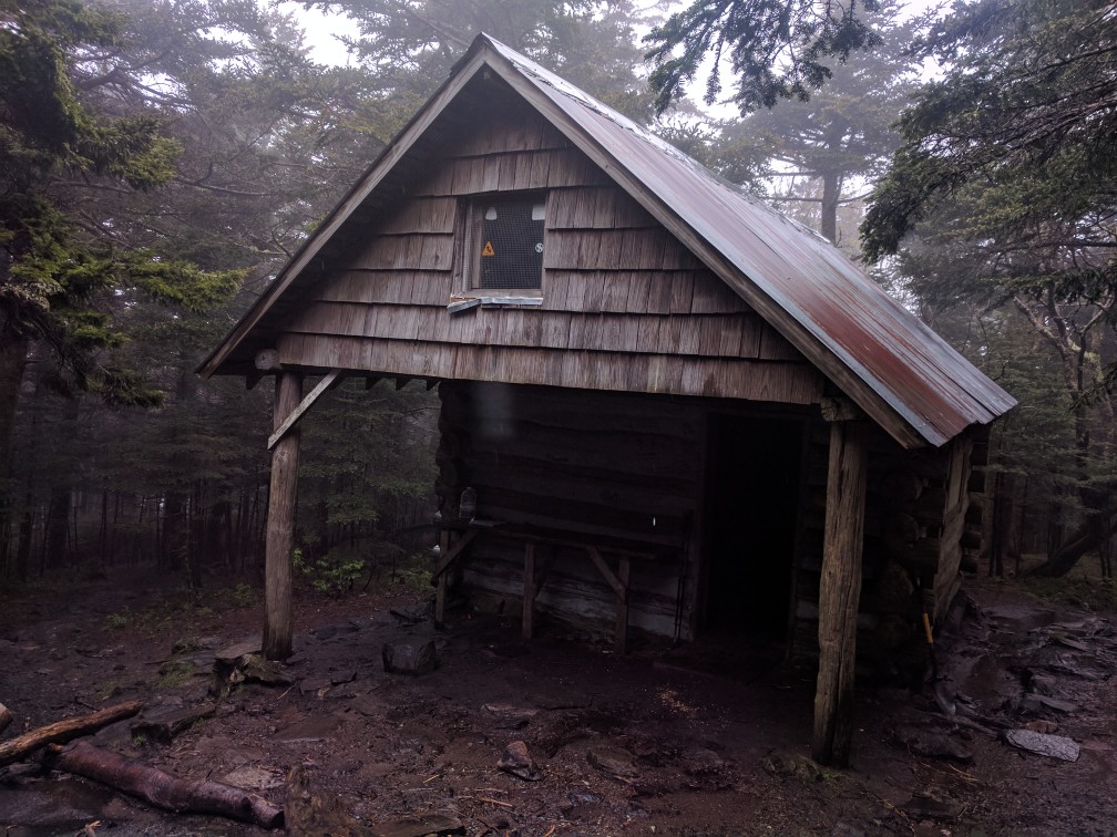
Roan High Knob Shelter (Mile 377.4) is the highest shelter on the AT at 6,250 ft. I immediately went inside, removed my soaked attire, and crawled into my sleeping bag for an hour until I finally warmed up. I’m not going to lie, that was scary. And foolish. And totally preventable. Lesson learned.
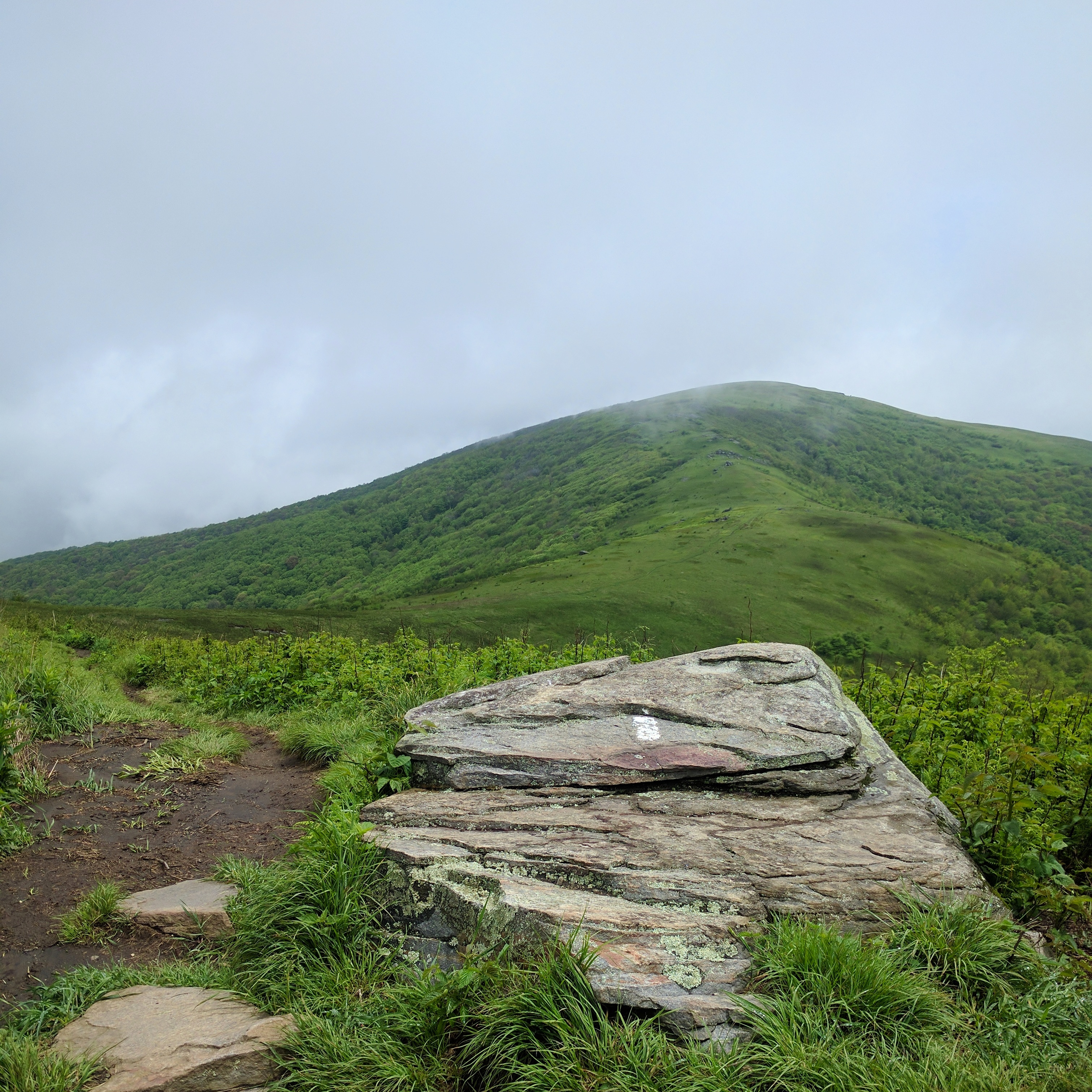
It was difficult to walk back out into the rain this morning. Even after hanging on a makeshift clothesline in the shelter all night, my clothes and gear were still soaked. I convinced myself that I would be ok warming up my clothes in my sleeping bag since I’d be headed to a hostel tonight and could dry it out there. After a warm breakfast, I donned my squishy shoes and headed back out onto the muddy trail. The weather improved demonstrably as I descended off the mountain, though light rain and clouds lingered until the early afternoon. Unfortunately, the clouds obscured most of the views from the balds of the Roan Highlands, until Hump Mountain (Mile 386.1).
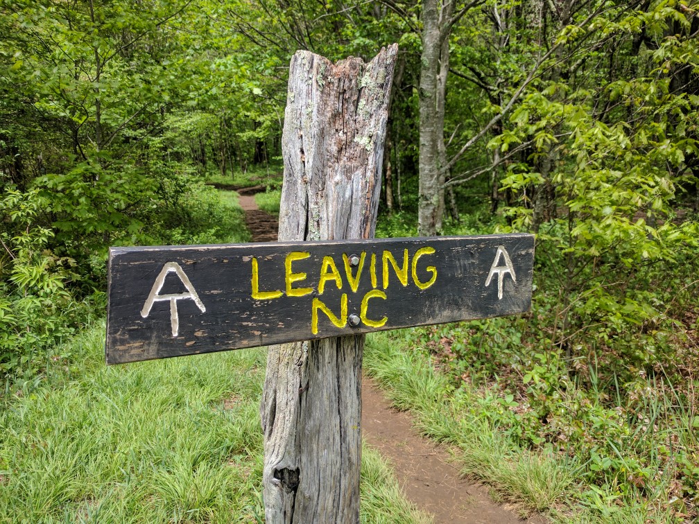
On the descent from Hump Mountain into Roan Mountain, TN (the town, not the mountain that tried to kill me last night), the AT officially leaves the state of North Carolina for good (Mile 390.7)!
I am currently spending the evening at the lovely Mountain Harbour Hostel (Mile 393.7). This is my favorite hostel thus far (and it supposdly has an amazing breakfast, which I am really looking forward to)!
It has been nice to dry out my gear, resupply, and relax. The forecast is calling for two more days of heavy rain. However, I won’t be exceeding 4,000 ft of elevation, so it shouldn’t be too chilly. Hopefully, my next (shorter!) update will be this weekend from Damascus, VA.

So sorry you had to endure that nasty nurovirus! Good health from here on out!! And sunshine! What’s with all this rain?! You’re doing great, keep plugging!!
So sorry about the nasty bug. Hope that will be it for ills on the trail. I am so envious. I hiked a lot of those places 30 years ago and now I just want to be there again. Wishing you cool days, and warm dry nights. Take care and have fun.
Wally