It’s remarkable how the slightest change in circumstances can drastically alter my perspective on the trail. On the long descent into Winding Stair Gap (Mile 109.5) to catch my ride into Franklin, I began to experience a nagging and familiar pain on the inside of my left knee, about two inches below the joint. On previous hikes I have struggled with pes anserine bursitis, inflammation of a bursa near the MCL due to stress on the hamstrings. Although quite painful to hike through, this condition does not cause permanent damage. I’ll admit that my omission of this occurrence from my last blog post was from complete denial. I was hoping it would improve with my overnight rest in Franklin on Saturday night.
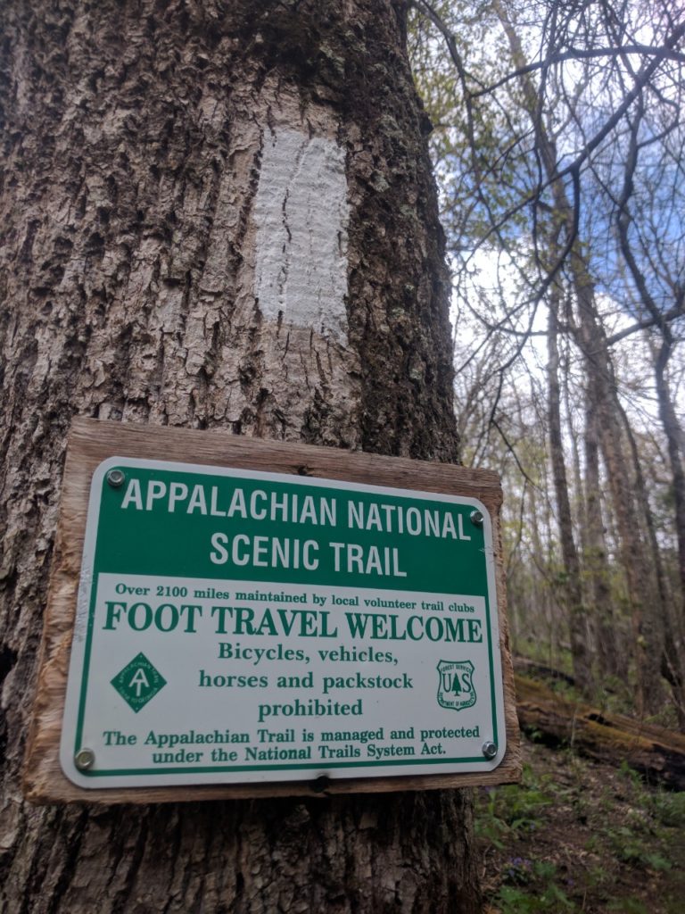
…but does it count if I *smell* like packstock?
I set out the following morning from Winding Stair Gap with the knowledge that, in spite of the pain, I would need to complete approximately 55 miles to Fontana Dam by Thursday in order to utilize the travel arrangements I had made previously to return to Auburn for my graduation ceremony that weekend. It was not going to be fun, but it was certainly feasible. As I was carefully hobbling along at about 1.5 mph up the ascent from Winding Stair Gap, I heard a familiar voice behind me yell, “That can’t be Curly Sue!” The fastest of the thru-hikers (no, really: his trail name is Speedy Gonzales, Gonzo for short) from my stormy evening at Gooch Gap shelter had appeared behind me. He explained that he had left the trail at Neels Gap due to a knee injury and was just now catching up to our group. I told him about my similar predicament, leading him to reveal to me perhaps the most effective trail wisdom I’ve learned to date: Head Back, Chest Out!
Evidently the orthopedic specialist he had visited was no stranger to thru-hiker injuries and dispensed this gem of advice. Hikers have a tendency to stare at their feet when hiking, particularly steep downhills. Bending forward and down to look at one’s feet extends the weight of the head (8 to 11 lbs) away from the center of mass and out over the knees, putting excess pressure on the MCL. The resultant effect is rather like carrying a bowling ball out in front of you down thousands of stairs. By making a conscious effort to keep the head at a neutral angle and the chest forward (or “proud” as they like to say in yoga classes), the weight is distributed through the core and hips instead of the knees.
I was skeptical, but the explanation seemed logical and frankly I was willing to try anything at that point. Gonzo disappeared up the trail with his eponymous velocity, leaving me to wonder if he was even real or if the trail was finally getting to me. Making a concerted effort to alter my posture, I proceeded along the trail. The relief was immediate; miraculous, almost. I was able to move at my normal pace without pain. Hiking became fun again! It still amazes me that such a slight change in posture could completely change the outcome of my whole hike. Ever since this epiphany, I’ve found myself thinking much more deliberately about my posture and the efficiency of my movement as I hike.
Since I was feeling better, I even hiked a short side trail up to the summit of Siler Bald (Mile 113.8) to eat lunch. The views were well worth the short, steep climb. As much as I enjoy hiking alone, I couldn’t help but think about all the people I would have liked to share that view with.
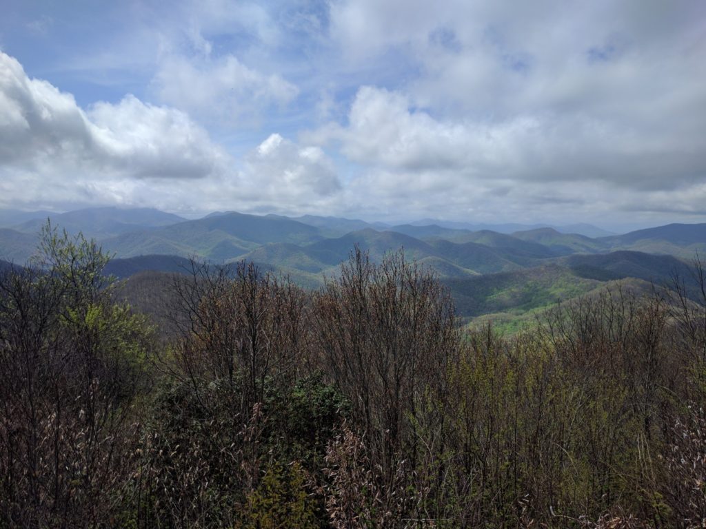
Siler Bald – not technically on the AT but worth the additional 0.2 miles!
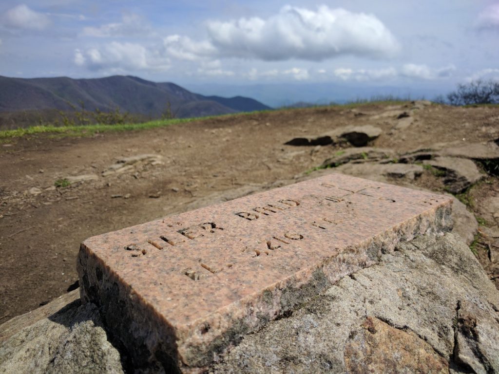
Rain was expected to begin at about 5pm, so I had to hustle up the long ascent to Wayah Bald. Storm clouds loomed overhead as I reached the summit, encouraging me to keep moving to the nearby shelter.
Wayah Bald
I proceeded to Wayah Bald shelter (Mile 120.5) that afternoon where I found the ebullient Gonzo and another thru hiker, Forrest. Although all three of us had sworn to avoid shelters after the attack of the Gooch Gap shelter mice, the stormy forecast and newly remodeled shelter (Wayah and Wesser Balds both burned last year) convinced us to give shelters another chance.
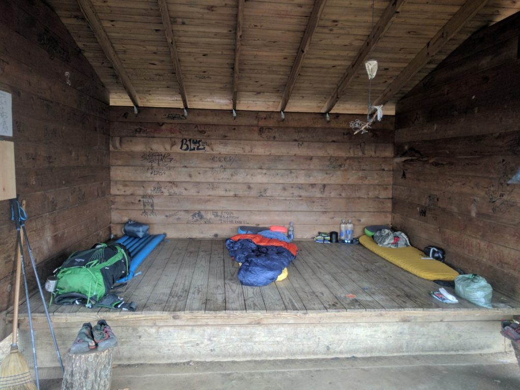
Much more spacious with only three people.
We spent a comfortable night without any noticeable rodent activity and awoke to the sound of pouring rain— it is very satisfying to wake up under a roof in a rainstorm. Visiting the privy in the rain, I noted a potential explanation for the lack of mice in the shelter. Several of them appeared to have become trapped in some buckets in the privy.

Do not be fooled by their adorable beady eyes. They want to destroy everything you hold dear.
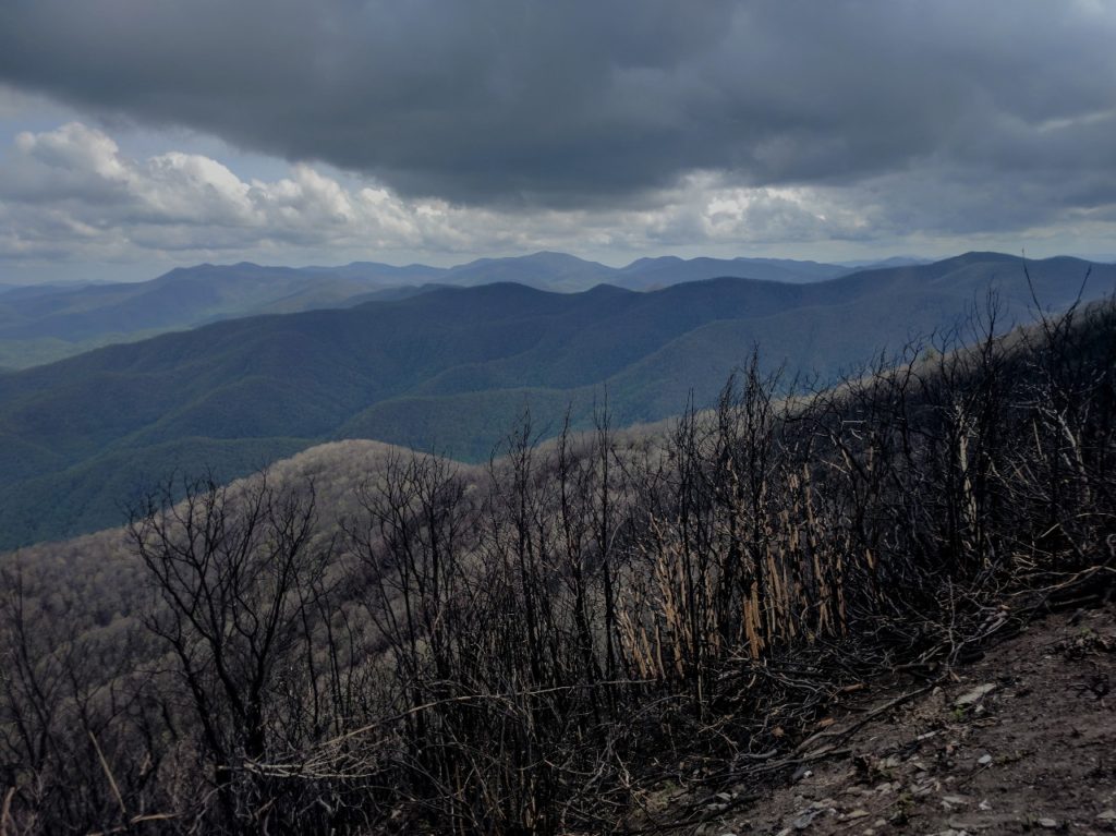
I had initially intended to take a short day to the Wesser Bald shelter (Mile 131.1), but my companions made a strong case for pushing a few extra miles to the Nantahala Outdoor Center (NOC; Mile 137.1): there was a restaurant there… with cheeseburgers. The day consisted of a long climb up Wesser Bald, followed by a 3,000-ft descent down to the Nantahala River. The intensity of the rain varied substantially throughout the day, from a tolerable mist to horizontal torrents that left me soaked in spite of my rain gear. Squalls announced themselves from a distance, roaring up the ridgeline like an approaching freight train. The trail became a river of mud as I passed through mile after mile of burned forest.
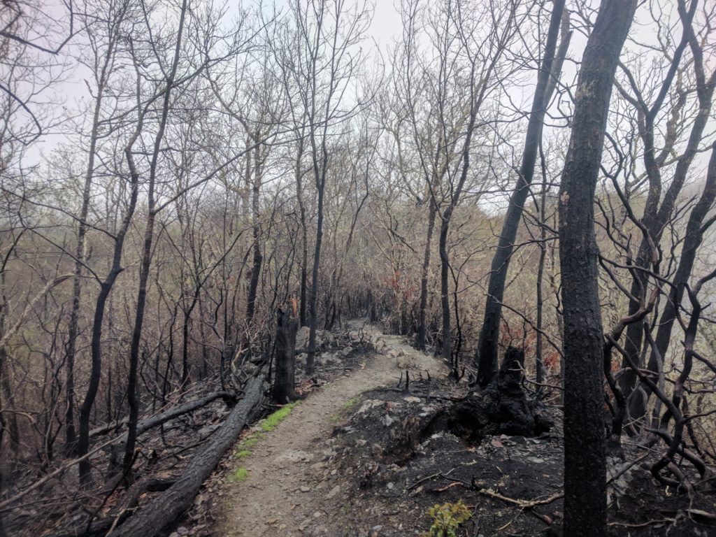
Burned ridgeline across Wesser Bald
The initial descent from Wesser was the most difficult terrain I have encountered thus far, requiring some careful scrambling down slick boulders with severe fall consequences down the ridgeline on either side.
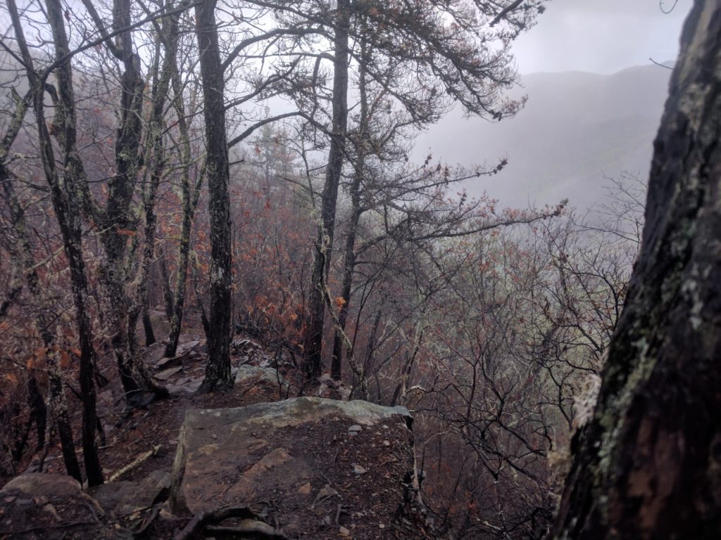
Descending from Wesser in the rain
The trail leveled out to a manageable grade for most of the descent. I repeated “head back, chest out!” as a mantra to save my knees. The NOC is a village surrounding the Nantahala River that serves as a basecamp for kayaking and whitewater rafting groups. We enjoyed an amazing dinner (I finished my cheeseburger so fast I never got a picture) and watched kayakers practice in the rapids. At some point, we discussed our next major objective: the Fontana Dam shelter, known as the “Fontana Hilton” because it houses 24 hikers and has free showers and real toilets (so luxurious!!) in an adjacent building.
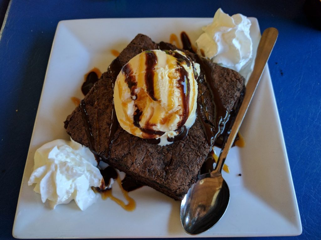
No caption needed.
Perhaps all the calories went to our heads, because somehow the idea arose that we could hike all 28.3 miles to the Fontana Hilton the next day. Also, I may have been *ahem* slightly optimistic about the elevation profile. Gonzo and I were apparently the only members of our trail family quite crazy enough to wake up before dawn and attempt this feat. Leaving the NOC entails a 3,000 foot climb up to Cheoah Bald (Mile 144.8).
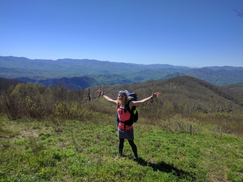
Nothing like a 3,000-ft climb to start the day! Cheoah Bald
In comparison to this ascent, the remainder of the elevation profile for the day looked like, oh how did I put it at dinner, “practically all downhill from there.” In retrospect, this was not the most accurate description of the three consecutive steep climbs we would encounter. We also had difficulty with unexpectedly dry water sources during this section. Fortunately we found some trail magic in the form of apples and bananas at Stecoah Gap (Mile 150.5).
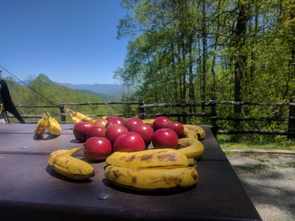
Trail Magic!
Leaving Stecoah Gap, we began the steepest climb yet. In the heat of the afternoon, with the added complication of recently fallen trees that required us to army crawl, we unwittingly hiked the infamous Jacob’s Ladder (600 ft of gain in 0.6 miles) that I had heard other hikers speak of, but which was not marked in my guide. We survived the climb and finally managed to find water. However, with fading daylight we opted to stop at Cable Gap shelter (Mile 158.9) rather than risk continuing to Fontana by headlamp. Nevertheless, 21.8 miles is the furthest I’ve ever hiked (and frankly kind of crazy over the terrain in that section). I finished the last few miles of descent (head back, chest out!!!) down to Fontana Dam shelter the following morning.
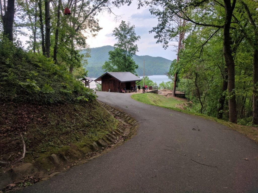
Fontana Dam Shelter
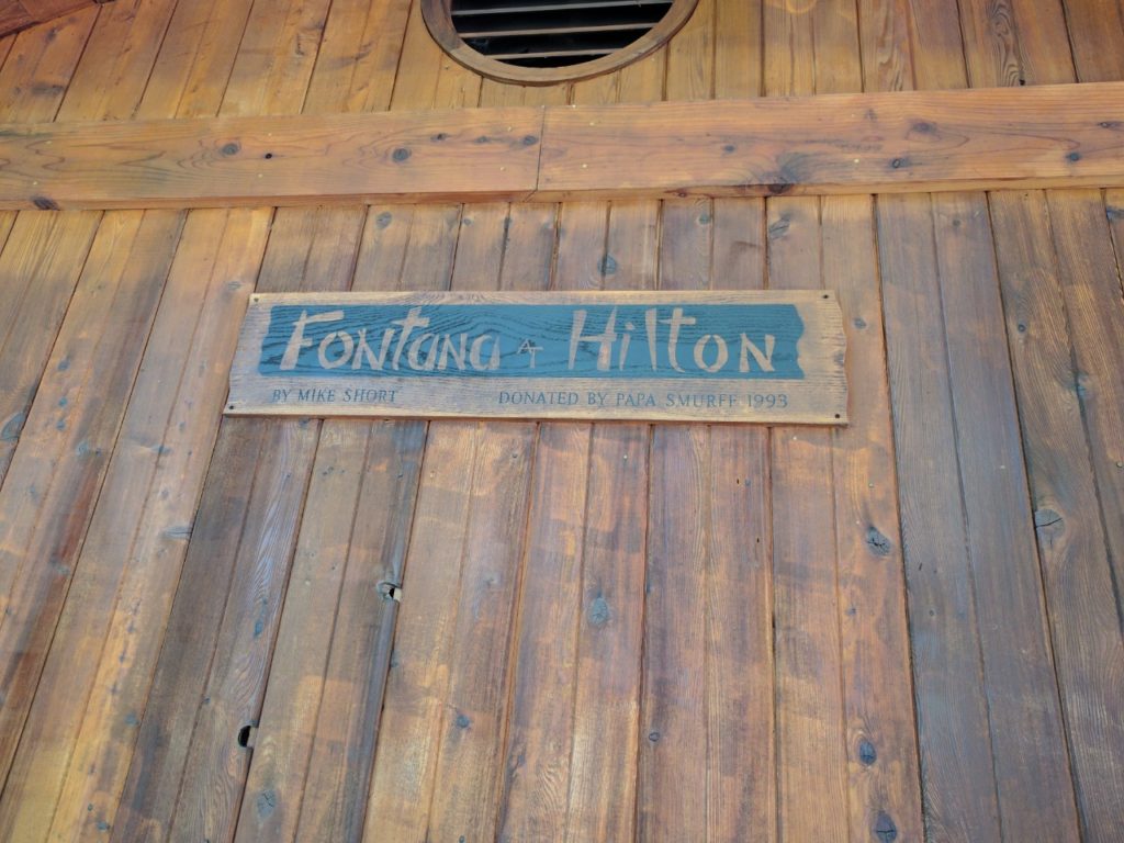
Fancy!
The shelter lived up to its nickname, right down to the legendary indoor plumbing! The few thru-hikers at the shelter were already fretting over the weather forecast. Fontana Dam is the last shelter before entering the Smoky Mountains. The latest forecasts were calling for temperatures in the 30s with rain, snow, and gusting wind up to 70 mph up in the Smokys. Most of the hikers were considering taking one or more “zero days,” staying at the nice shelter to wait out the storms before proceeding back up into the mountains.
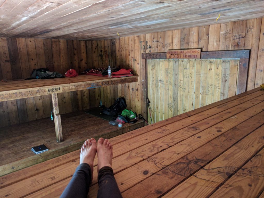
Room for 24 hikers in the Fontana Hilton
The shelter is near Fontana Village, a lakeside tourist trap. Shuttles run from a parking lot near the shelter into the village. I caught up with Gonzo and Forrest at the least-overpriced food venue in town: a gas station called The Pit Stop with a small restaurant area. We proceeded to eat absolutely everything on the menu and enjoyed chatting with the locals.
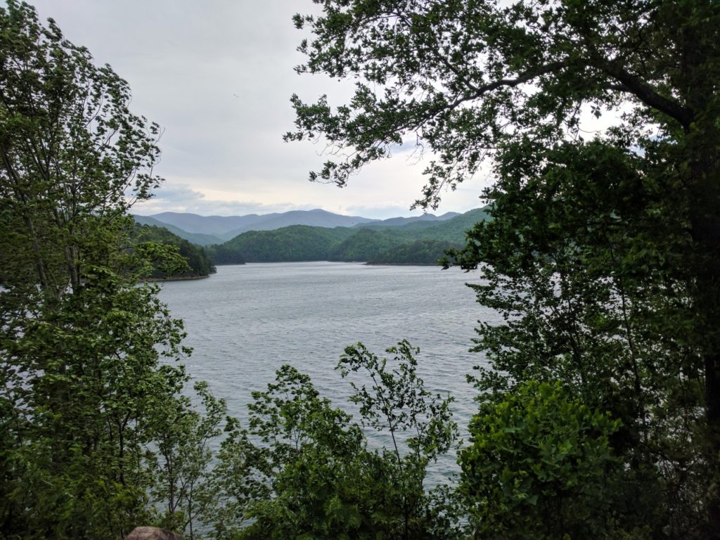
Fontana Lake as viewed from the shelter
Back at the shelter that evening, more and more hikers appeared. Around a bonfire, they debated whether or not to remain at the shelter or continue hiking. My decision was easy: I had planned all along to leave the trail at Fontana. As we all packed into the shelter for the night, the temperature dropped precipitously. Overnight, the storms arrived, blowing down trees across the roads and knocking out power in Fontana Village. I spent the morning huddled in the shelter watching thru-hikers do what they do best when not hiking: eat everything in sight! Fortunately my shuttle (trusty Jim!) was able to navigate the debris-strewn roads and return me to Franklin, where I picked up my rental car and drove to Auburn.
Returning to civilization has been bittersweet. I am sad to leave my trail family. Although I know that I have plenty of days to try to make up the distance, it is difficult to sit still when I know they are likely proceeding on. Watching the weather, I am worried for them. But it has also been great to see my friends and coworkers in Auburn (not to mention all the conveniences of non-trail life)!! My family is visiting for graduation and I am extremely happy to have the chance to see them before I return to the trail again for the long haul on Monday.
